General information about the National Park
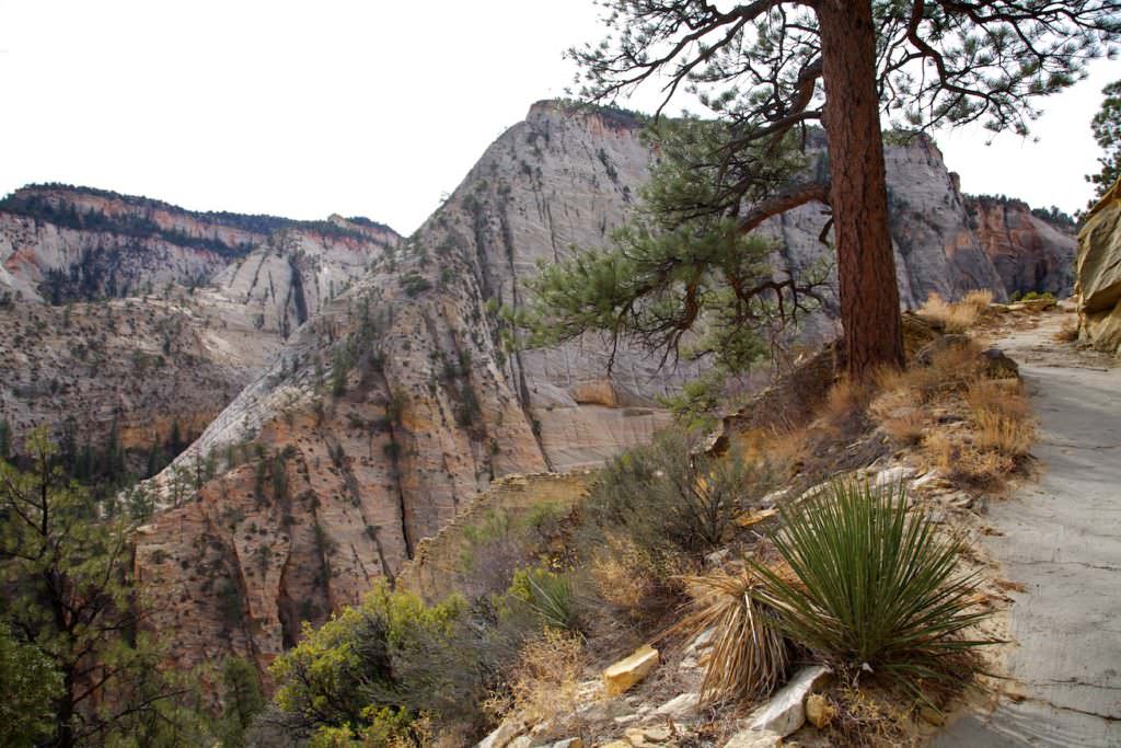
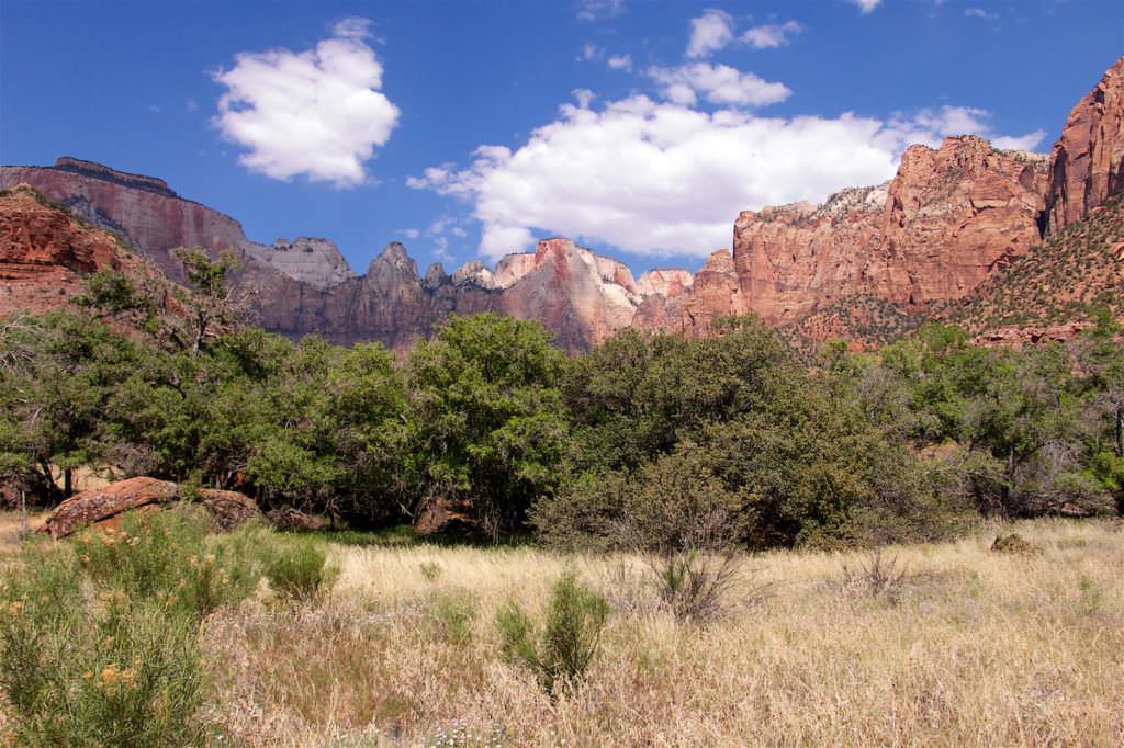
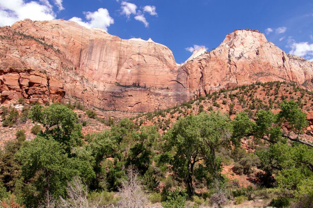
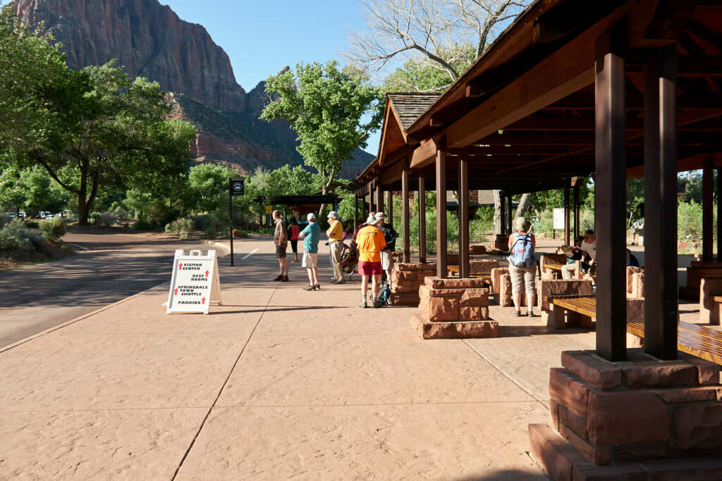
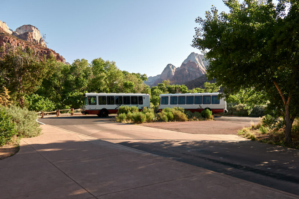
Zion NP consists of three parts. Kolob Canyons in the west, Kolob Terrace in the middle and Zion Canyon in the east. Zion Canyon is by far the most popular and most visited part. In recent years, the number of visitors in Zion NP has increased enormously. Between April and October it is not uncommon that the park is overflowing with people. Also the used shuttle bus system is often not able to cope with the masses, because there is a lack of parking spaces. If you want to enjoy Zion NP, especially the highlights along the Zion Canyon Scenic Drive, you should come either in winter or as early in the day as possible. When the shuttle buses are in operation (2019 from February) you are not allowed to drive the Zion Canyon Scenic Drive with a private car.
Current: Permits are now required for the hike to Angels Landing. The reservation is made online via recration.gov. Here you can learn everything you need to know about the permit issuing process.
Number of visitors
In 2023 Zion NP ranked 3rd in the most visited national parks visitor statistics.
Best time to visit: Here it is always beautiful and always very crowded.
Our visits:
So far 10 visit: August 1992, August 1994, April 1997, September 1999, October 2009, October 2012, May 2013, October 2014, March 2016, April 2022
Entrance fees and opening hours
- 35$/car and max. 15 passengers valid for 7 days
- Covered by the Anual Pass*
- Open 24h all year round.
*The Anual Pass is so to speak the "flat rate" for all Parks managed by the National Park Service. The pass costs a one-time fee of $80 and can be purchased at the entrance to each National Park, National Monument, etc. The pass is valid for 13 months.
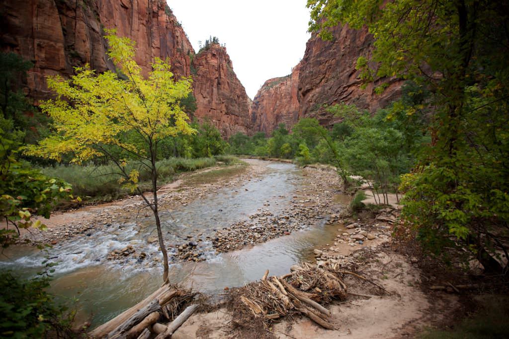
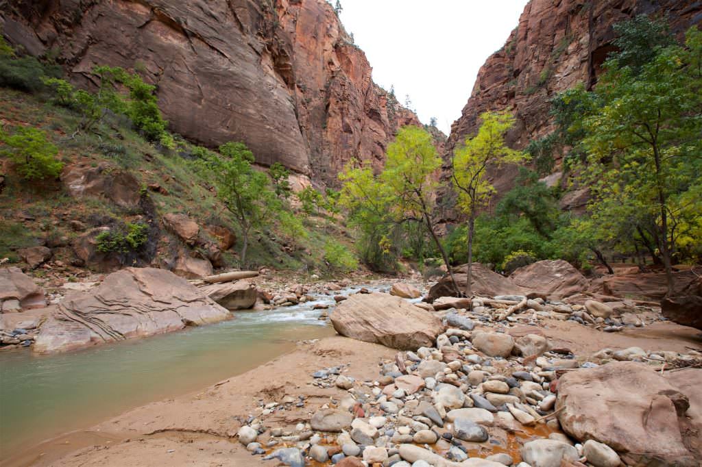
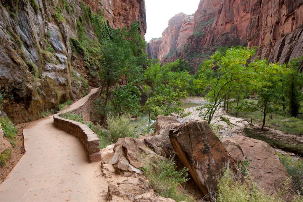
Riverside Walk - Zion Canyon
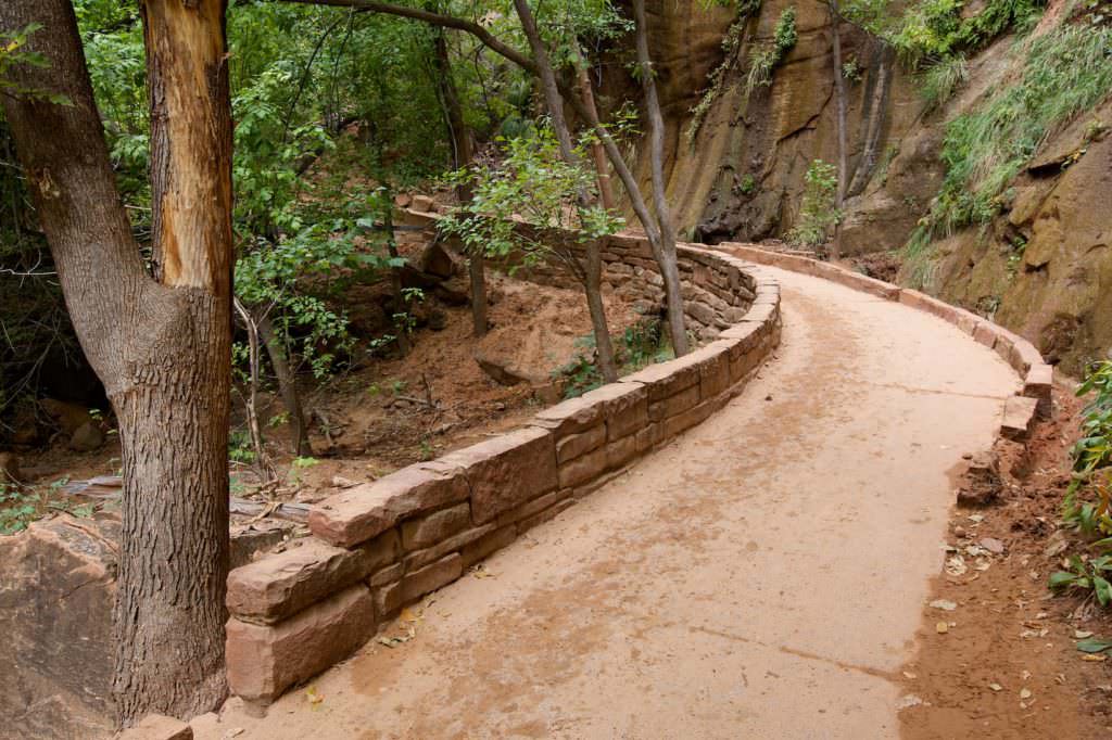
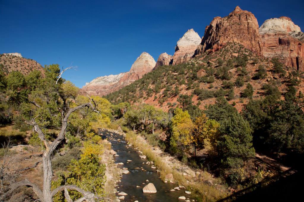
Description: At the very end of Zion Canyon Scenic Drive is the Riverside Walk trailhead. It is a beautiful trail along the Virgin River. The walk is very well developed and easy to hike. Accordingly, it is one of the most popular trails in the park. At the end of the Riverside Walk the hike in the Narrows begins. For this you hike more or less in the riverbed of the Virgin River further into the canyon. However, we have not done this hike yet.
Trail length: 2.2mi
Altitude difference: 56ft
Time needed: 1-2 hours
Difficulty level: easy
Our rating: A very nice, easy walk, which provides quite great photo motifs. The only drawback are actually only many people who bustle here most of the time. You don't have much peace and quiet here to enjoy nature and the surroundings.
Observation Point - Zion Canyon
Current: The trail to Observation Point is closed until further notice due to a rock fall in 2019. At the moment (January 2023) it is not yet foreseeable when it can be reopened.
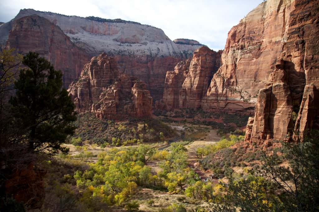
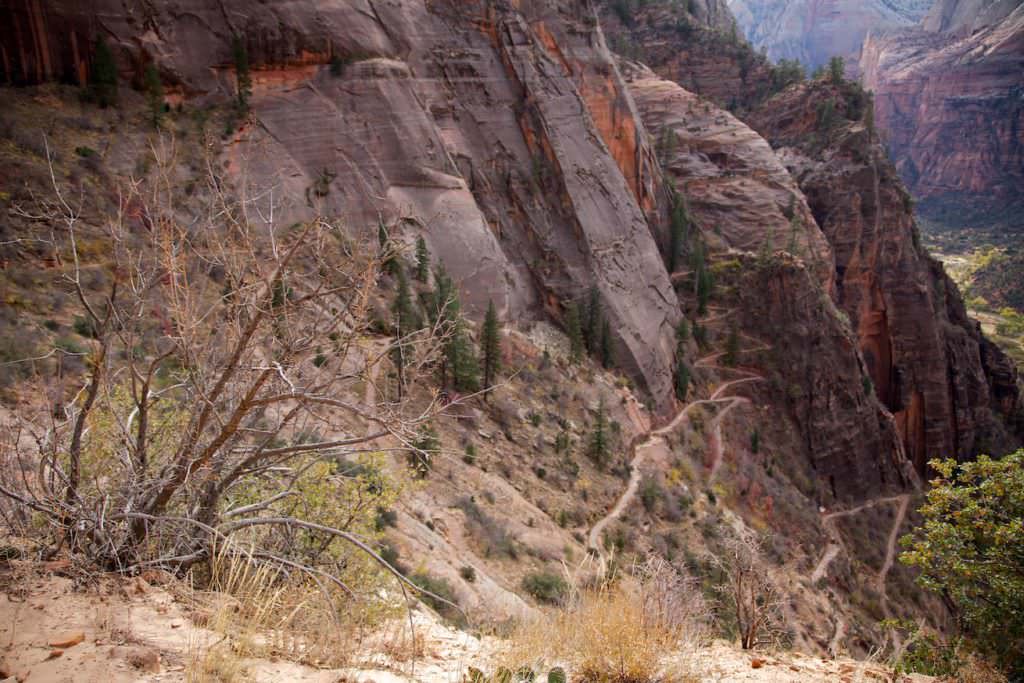
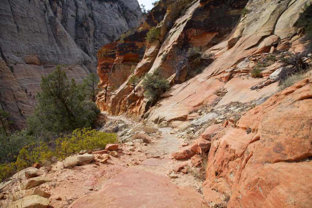
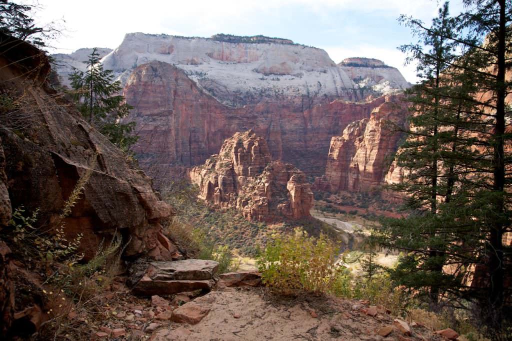
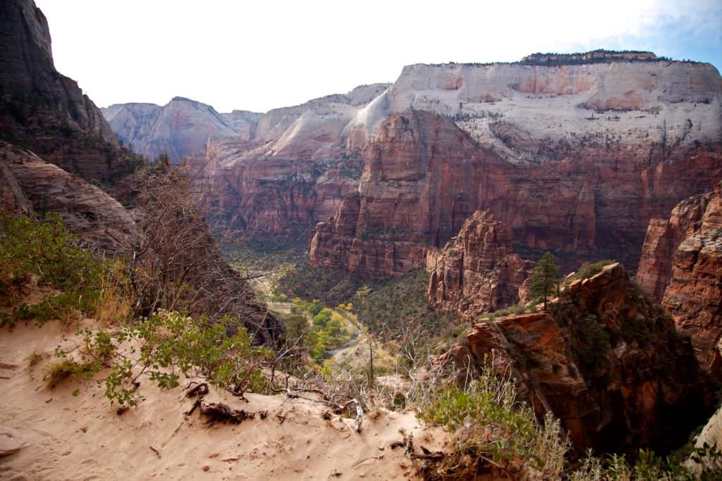
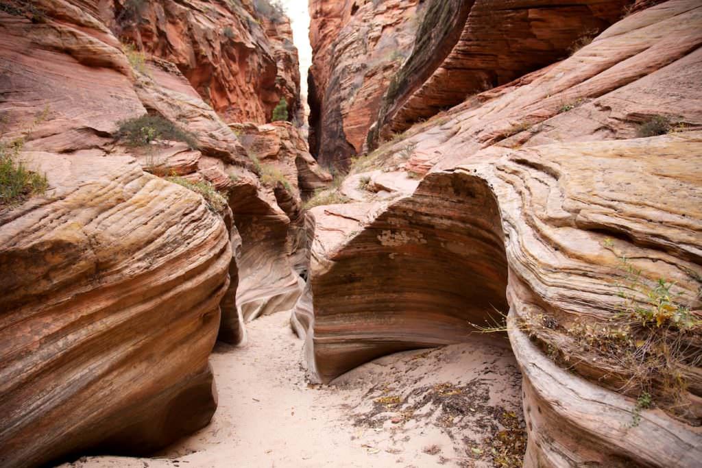
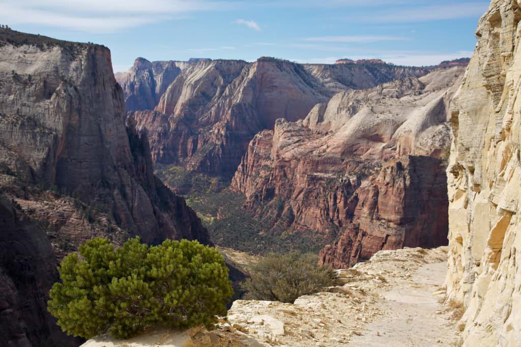
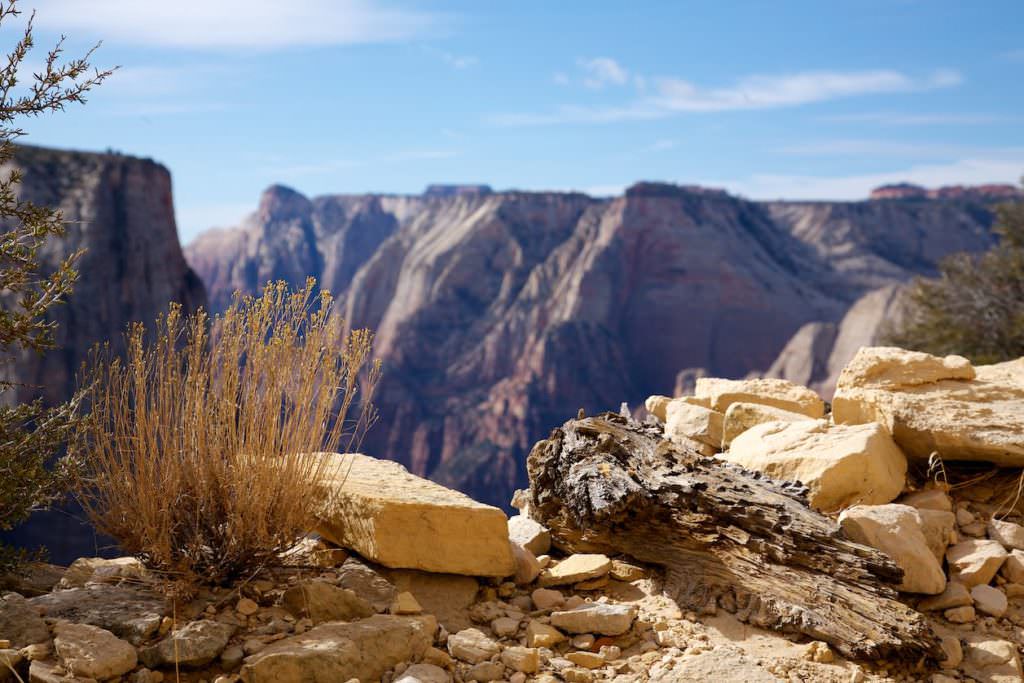
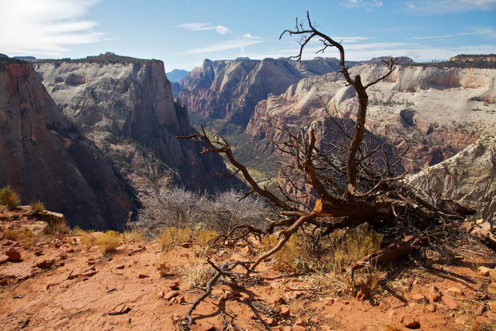
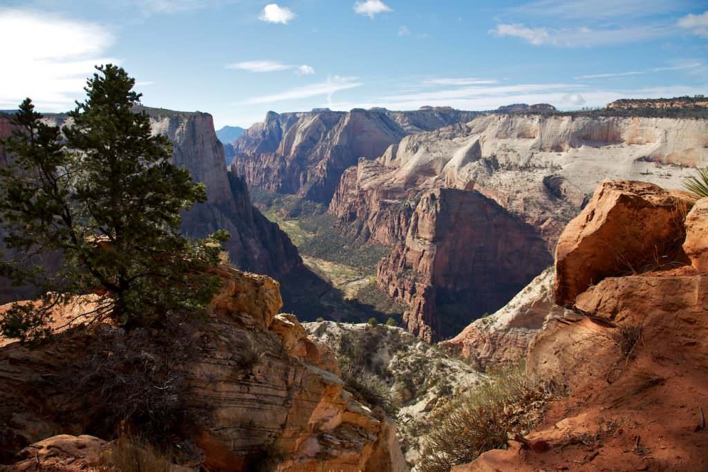
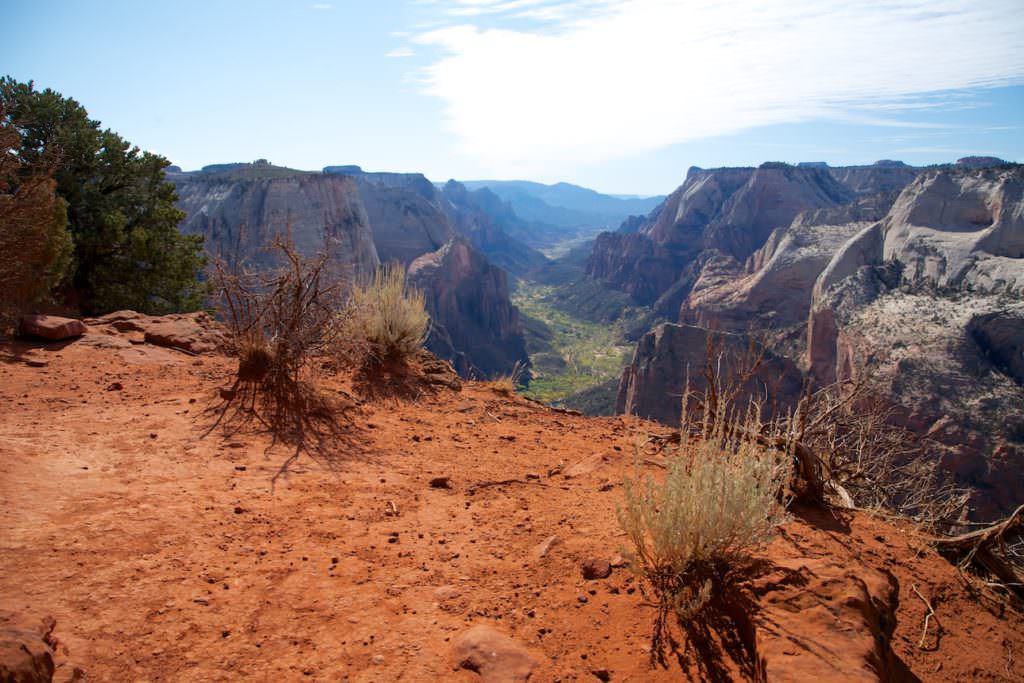
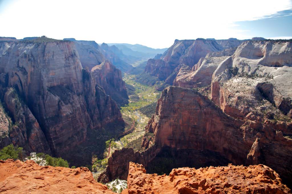
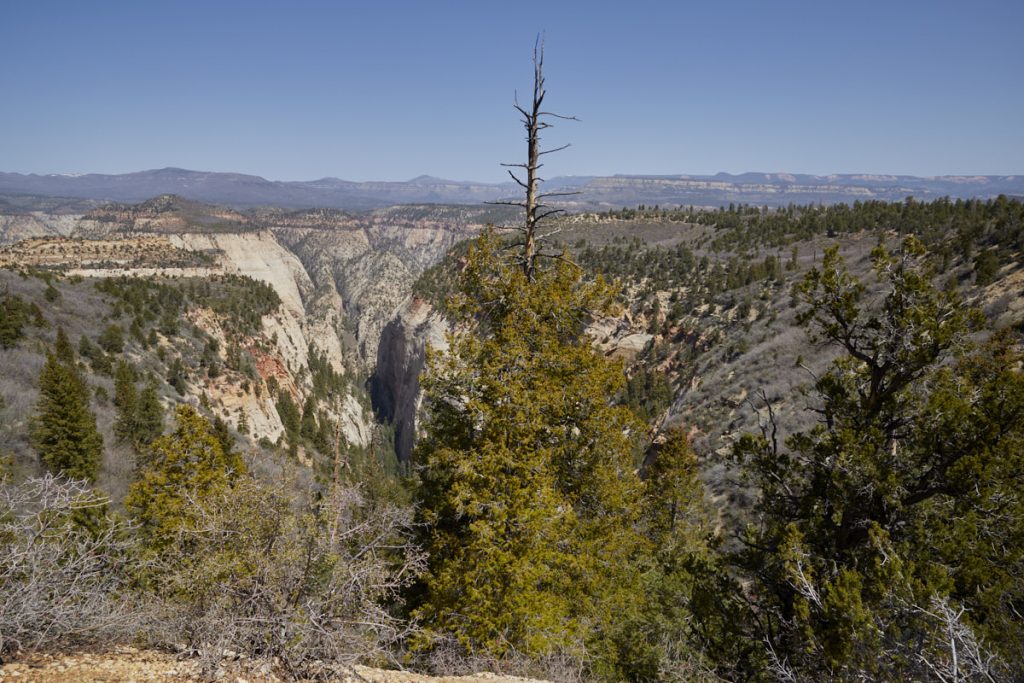
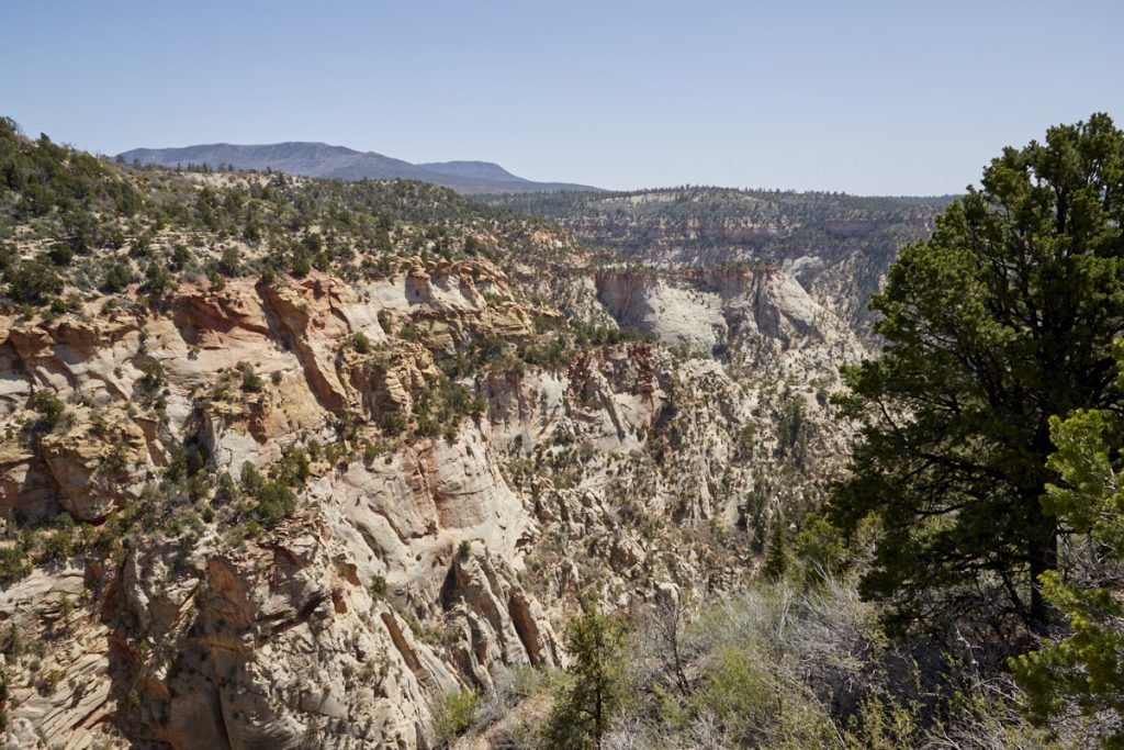
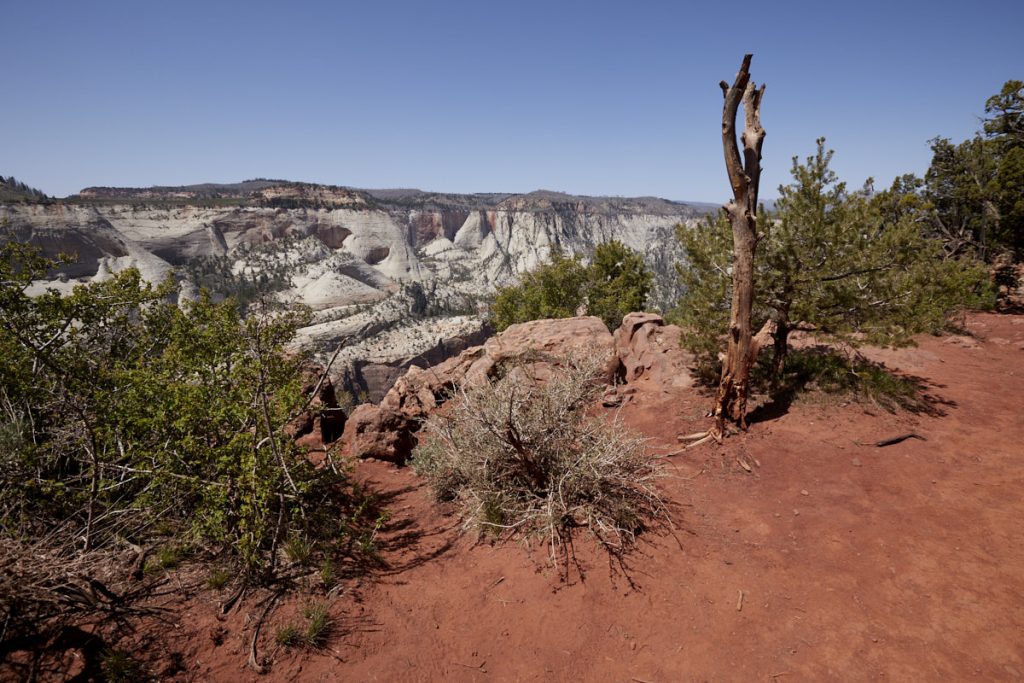
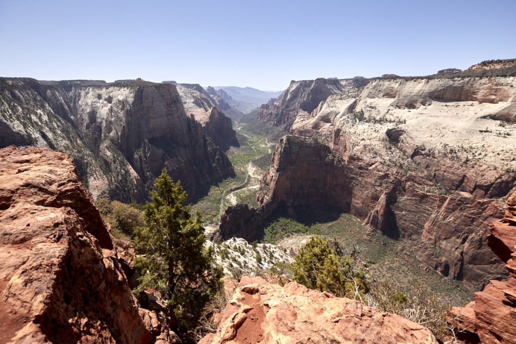
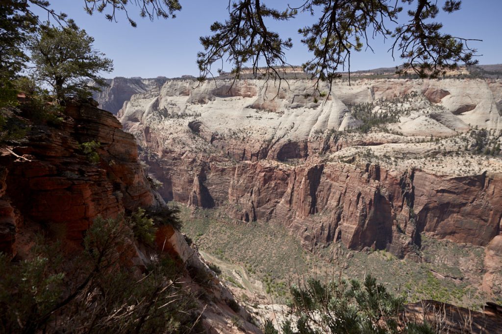
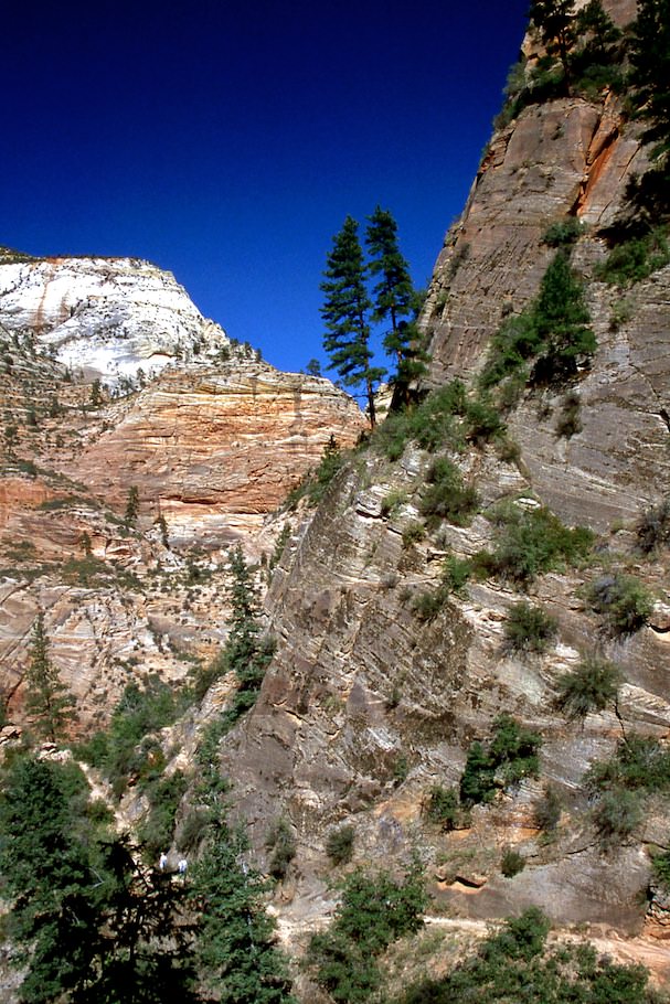
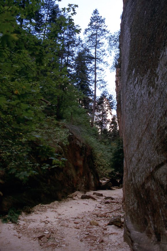
Description: The trail leads from the Weeping Rock Trailhead in switchbacks steeply upwards. You gain altitude very quickly and therefore you have very nice views of Zion Canyon shortly after the start. About halfway up this first climb, the trail branches off to Hidden Canyon. However, the trail to Observation Point continues upward and after numerous more switchbacks, you turn right into Echo Canyon. The scenery changes as you hike between high canyon walls for a while. After leaving Echo Canyon behind, you reach the junction to the East Rim Trail. This trail is also left to the right. Once again you have to climb numerous steep switchbacks. Then the trail continues directly towards the rim of Zion Canyon and again you have breathtaking views into the canyon. You reach a plateau about a few hundred yards before you reach Observation Point and from here you walk between bushes to the rim. Shortly after you get the reward for the strenuous climb. The view is breathtaking.
Trail length: 8mi
Altitude difference: 2149ft
Time needed: 5-6 hours
Difficulty level: moderate - The path itself is very easy to hike, because it is well developed. However, since you have to overcome the 2149ft of altitude on the first 4mi, it is, depending on your condition, very exhausting.
Our rating: The hike to Observation Point is one of our top 5 favorite hikes we've done in the Southwest so far. It is diverse and offers beautiful views. By far not as crowded as the hike to Angels Landing, you also tend to have a little peace and quiet here to enjoy nature. Who is reasonably fit and not afraid of the effort, should make this hike in any case. It is simply great.
NEW!!!
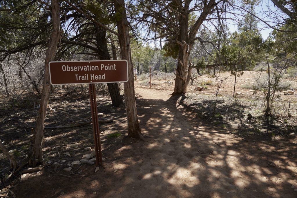
Observation Point - East Mesa Trail
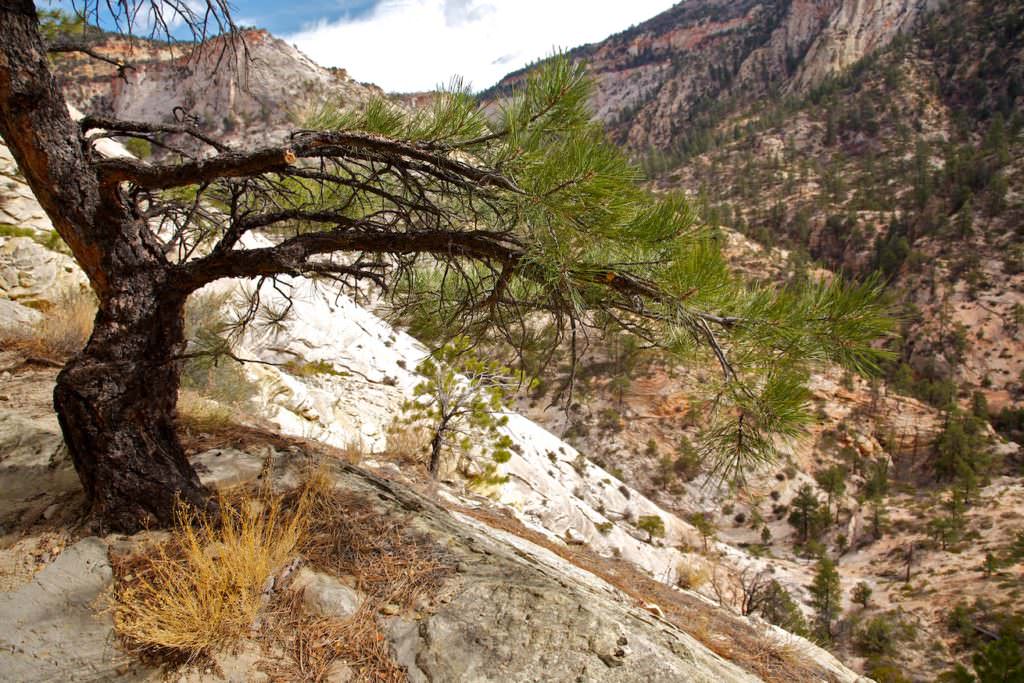
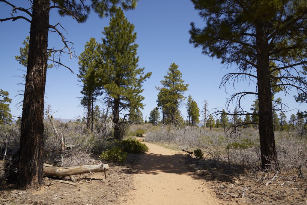
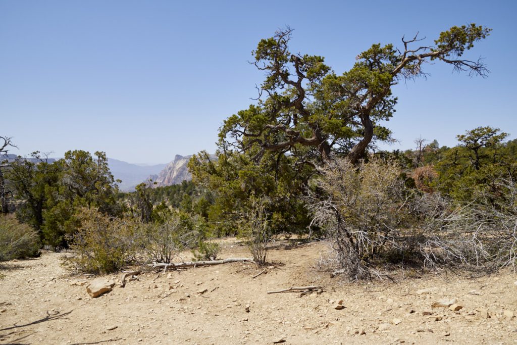
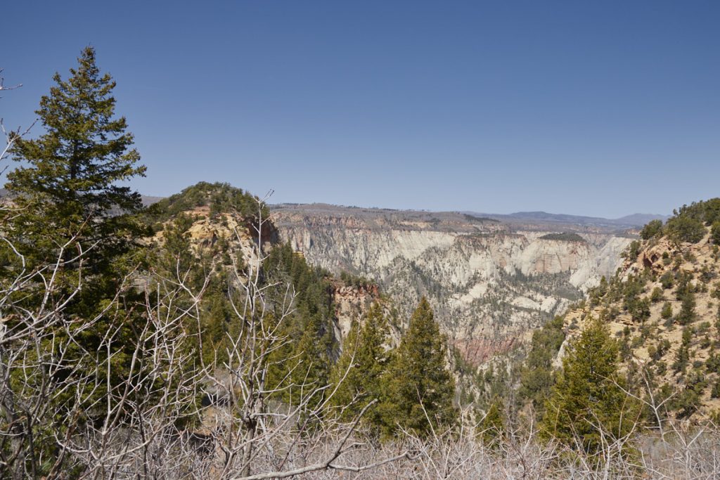
Description: At the moment it is not foreseeable if and when the trail to Observation Point, from the valley, will be open again. In April 2022, we therefore hiked via the alternative East Rim Trail to the great viewpoint high above Zion Canyon. In the trail description we could read that the hardest part of this trail is getting to the trailhead. When we visited, the road was freshly graded. However, since it is unpaved from Ponderosa Ranch, it is also only passable in good weather. The last mile in particular can be a challenge during or after rain. Parking at the trailhead is limited. Except in the parking lot, parking is not possible as all land outside is on private property.
The hike itself is easy. The trail is very well maintained and mostly flat. The elevation gain is distributed over the entire route. Only just before Observation Point itself you have to hike about half a mile steeper downhill.
Trail length: 7mi
Altitude difference: 984ft
Time needed: 3-4 hours
Difficulty level: easy
Our rating: Here, the viewpoint is clearly the highlight. The trail itself is relatively uneventful. Only shortly before you get down towards Observation Point you can take a short look at the side canyons. Otherwise the trail leads through a more or less dense forest. Since the view from Observation Point is really spectacular, the way is worthwhile for us in any case. If the way out of the valley is too strenuous and too far, the East Rim Trail is a really great alternative.
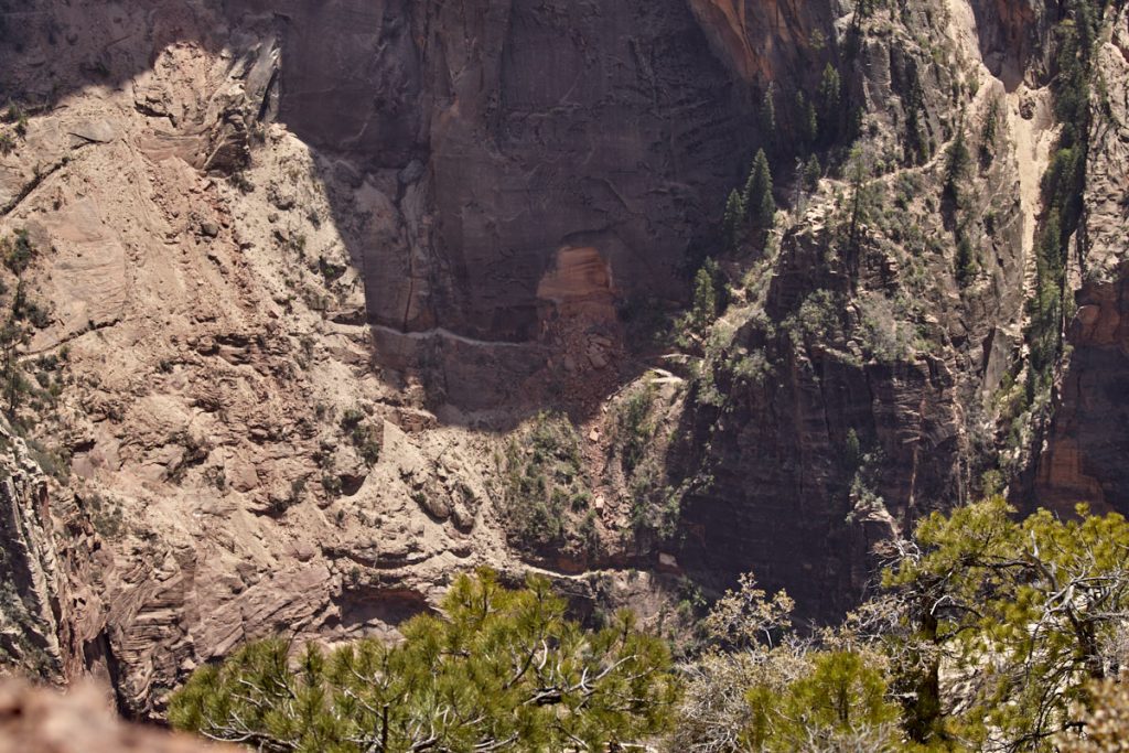
From the top, you could also catch a glimpse of the damage done to the actual trail by the 2019 rockfall. Since in April 2022 everything was still buried under the rocks, it is unlikely that the trails from the Weeping Rock Trailhead will be reopened in the foreseeable future.
Hidden Canyon - Zion Canyon
Current: The trail to Hidden Canyon is closed until further notice due to a rock fall in 2019. When the trail can be reopened is not foreseeable at the moment (January 2023).
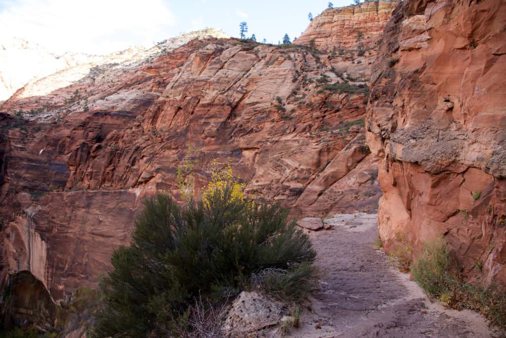
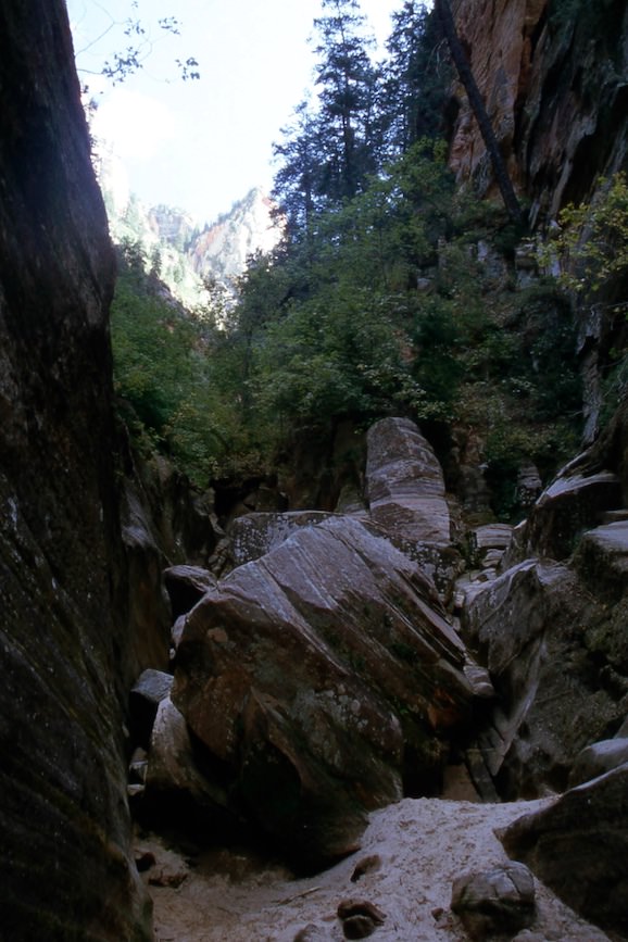
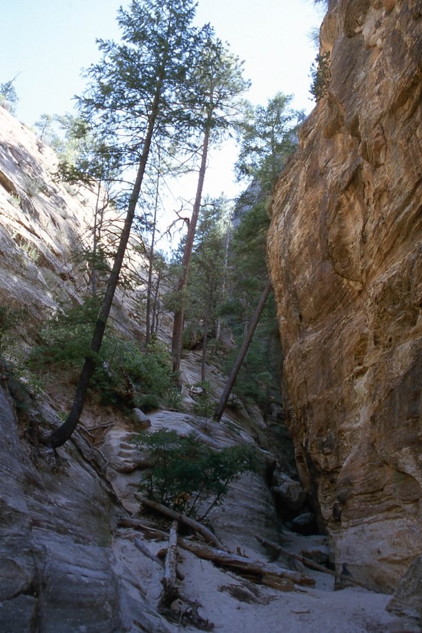
Description: The hike to Hidden Canyon starts at the Weeping Rock Trailhead and winds up a rock wall via steep switchbacks. About halfway up, the trail branches off to the right. First, the trail climbs up more switchbacks before running along the cliff for a bit, relatively parallel. Here the path could become a problem for people afraid of heights, because it leads on a narrow path, very close to the edge of the cliff. On the left, on the rock wall, there are ropes to hold on to, but on the right is the edge of the cliff. It is best to see for yourself and then decide what you are comfortable with. Afterwards the Hidden Canyon branches off to the left. Between narrow rock walls you can now walk a piece into the canyon.
Trail length: 2.4mi
Altitude difference: 850ft
Time needed: 2-3 hours
Difficulty level: moderate - The trail has a passage that leads past the edge and may require courage.
Our rating: Hidden Canyon is not necessarily very spectacular, but the hike is still very attractive and varied. In our opinion, the trail offers a nice alternative to the longer and much more strenuous hikes to the Observation Point or Angels Landing. The only small limitation is the narrow section, which may require a little courage.
Canyon Overlook - Zion Canyon
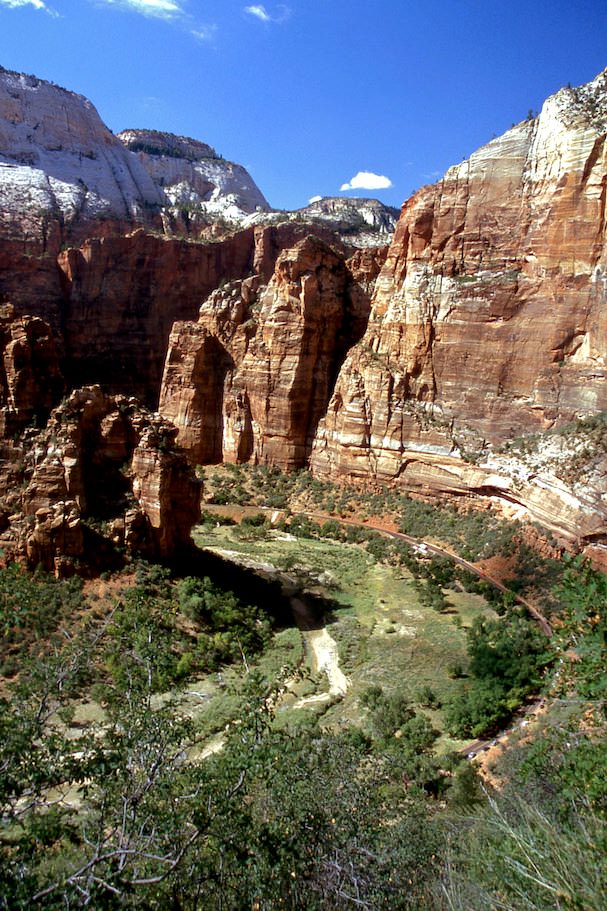
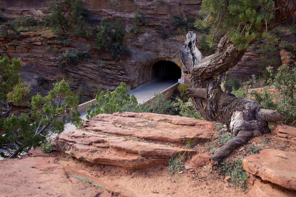
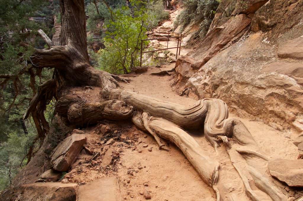
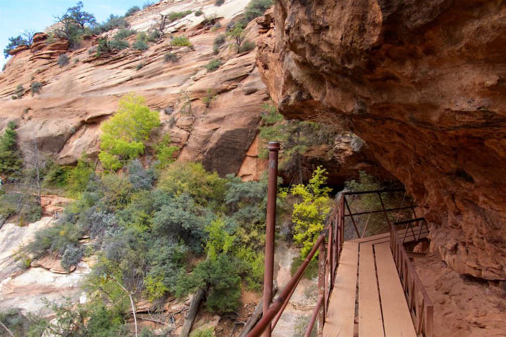
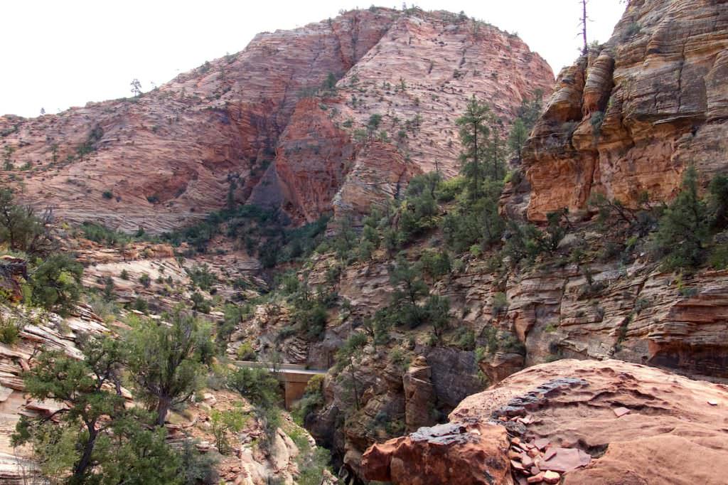
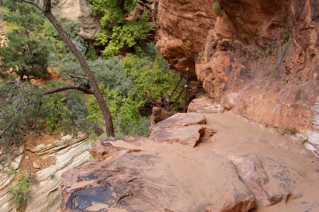
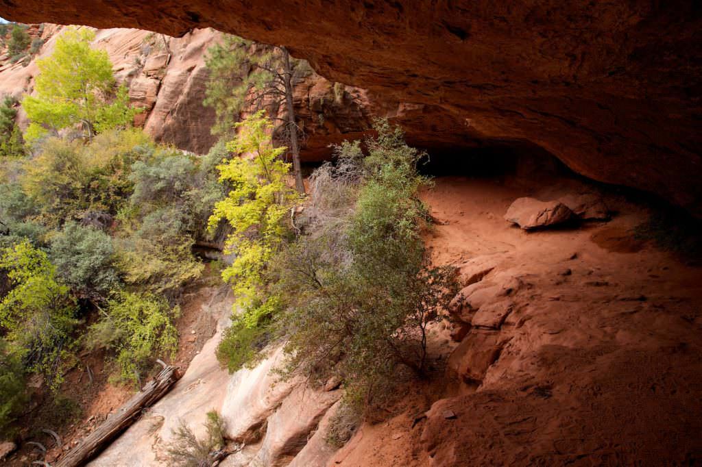
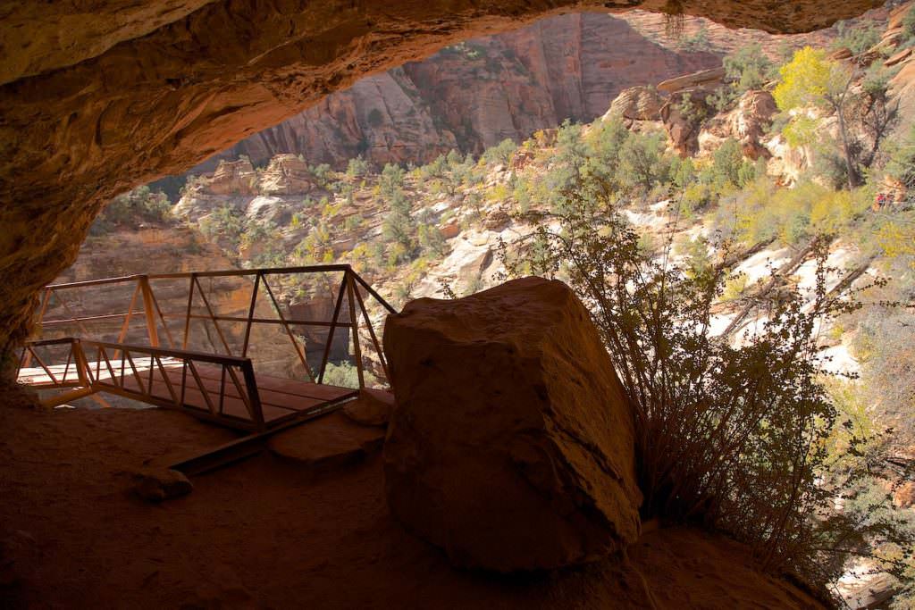
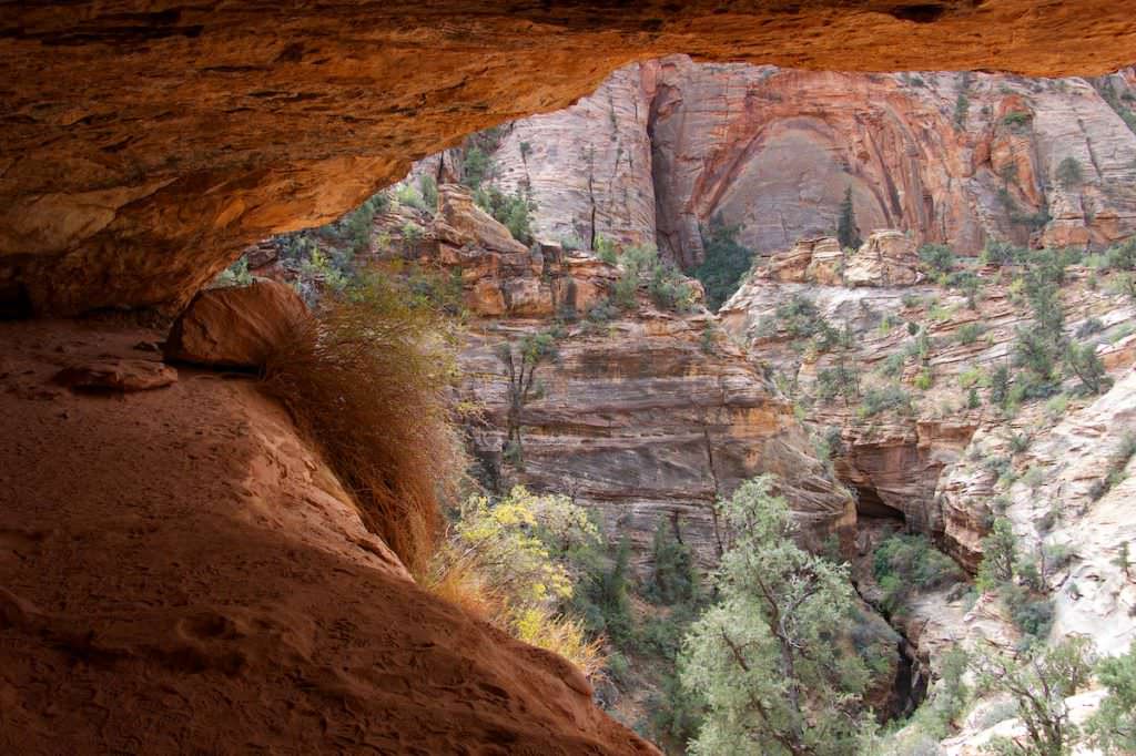
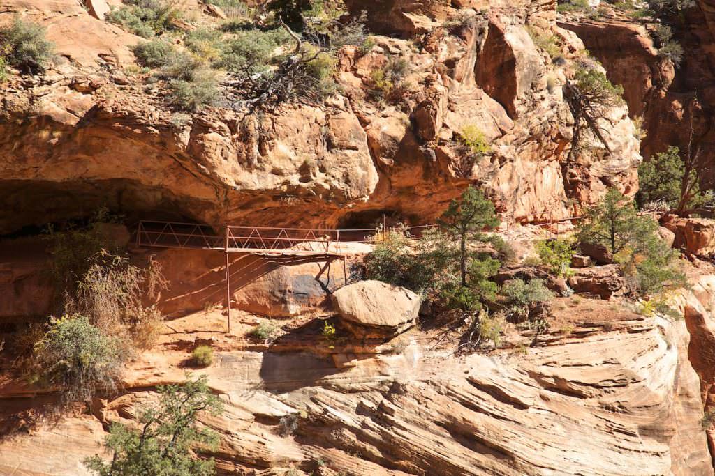
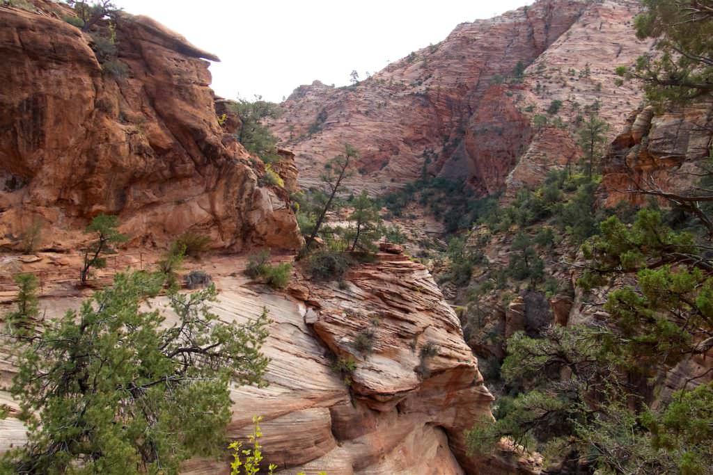
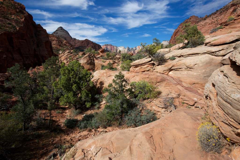
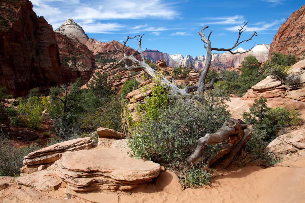
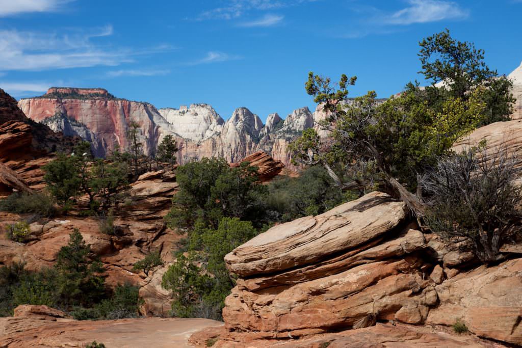
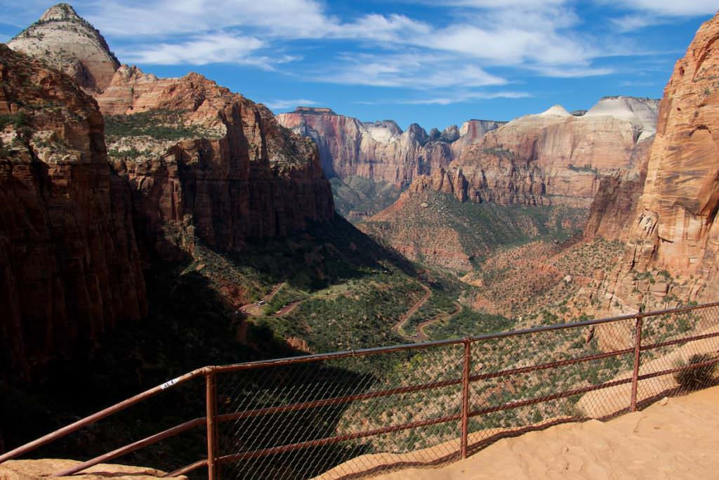
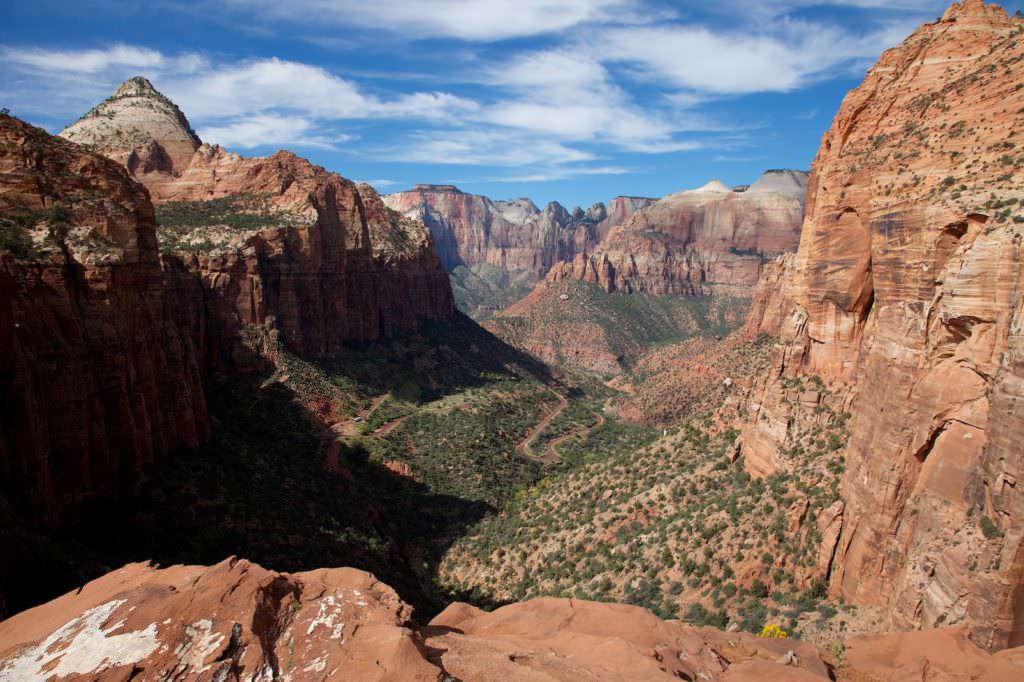
Description: The Canyon Overlook trailhead, coming from the east, is just past the tunnel on the Zion-Mount Carmel Highway. Here and a few hundred yards further there are a couple of parking lots, which are usually not enough. Often it is very difficult to find a place to park here. But if you find one, you have a short and very nice hike ahead of you. First you have to climb steep stairs to the top. Once you've done that, the rest of the way continues very moderately uphill. Above a canyon, the trail leads through an alcove to the rim of the canyon. From here you have a great view into the canyon and the junction of the Zion-Mount Carmel Highway with the Zion Canyon Scenic Drive.
Trail length: 1mi
Altitude difference: 164ft
Time needed: 1-2 hours
Difficulty level: easy
Our rating: This is a great, not really strenuous, short hike where you have a great view into a huge canyon at the end. The hike is varied and just fun. If you can get a parking spot, don't miss this one
Pa´rus Trail - Zion Canyon
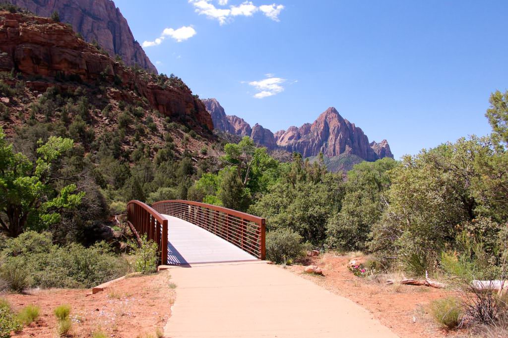
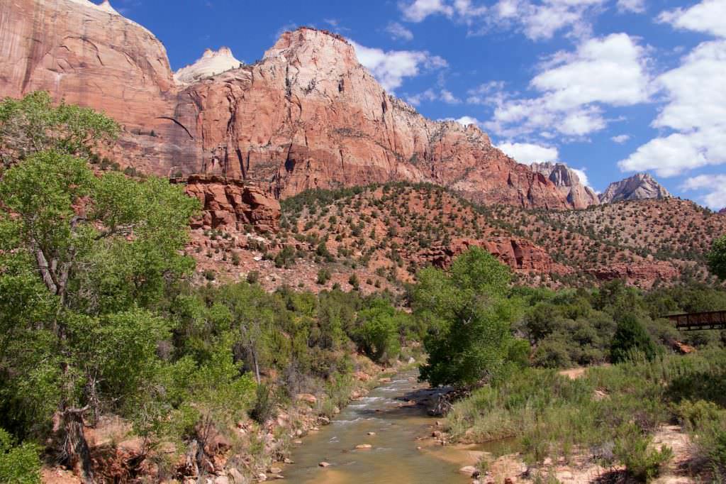
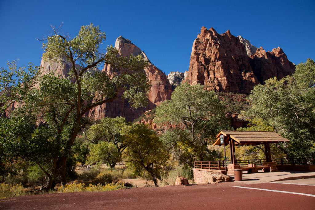
Description: The Pa'rus Trail leads along the Virgin River from the junction of the Zion-Mount Carmel Highway with the Zion Canyon Scenic Drive to the Visitor Center. The trail is paved and very easy to hike. You hike along the river and have beautiful views onto the huge rocks of Zion NP all around.
Trail length: 3.5mi
Altitude difference: 49ft
Time needed: 2-3 hours
Difficulty level: easy
Our rating: Nice, easy trail for an afternoon walk. Because of the spectacular rocks all around, there are also plenty of beautiful photo opportunities.
At the park road - Zion Canyon
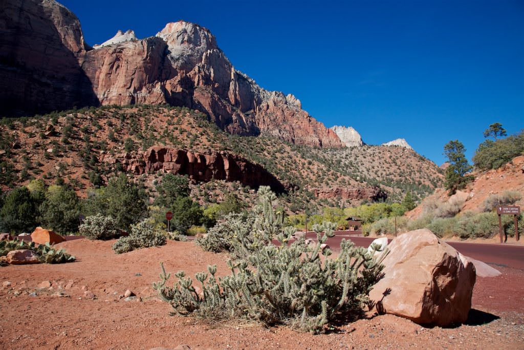
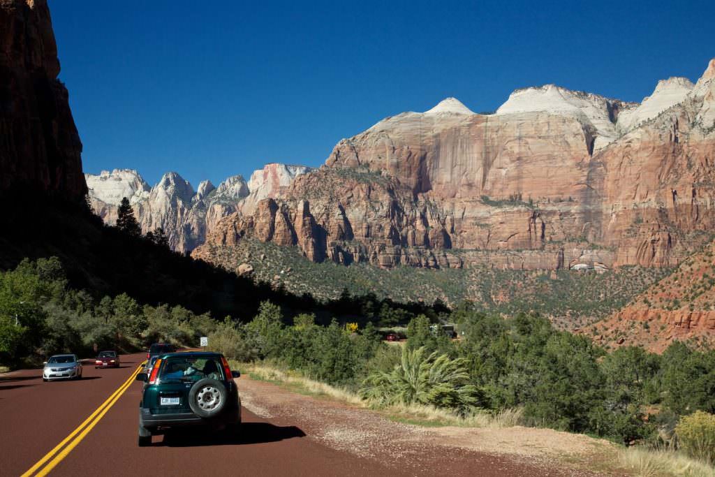
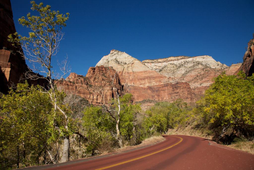
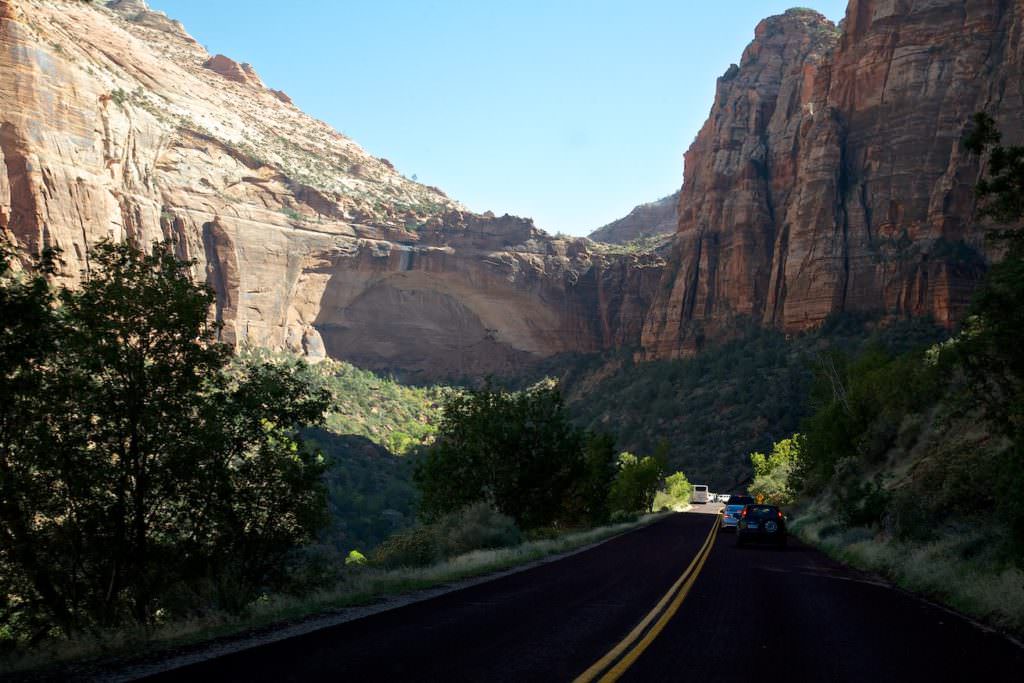
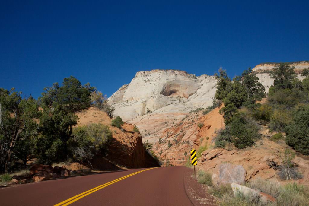
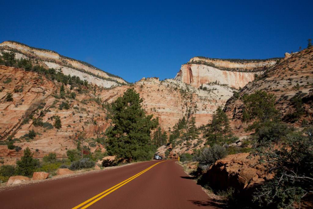
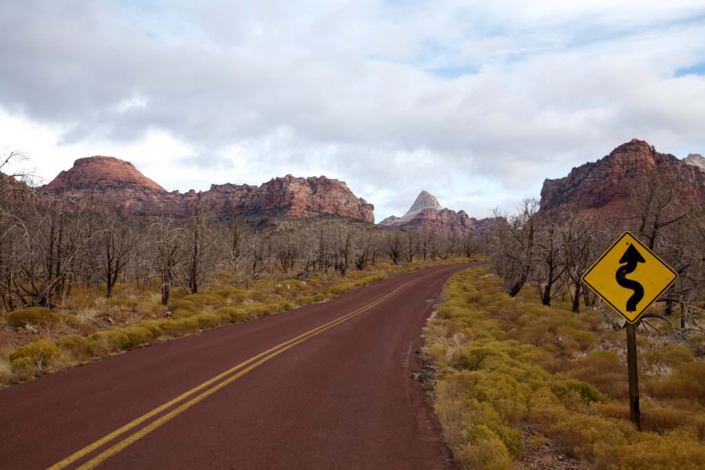
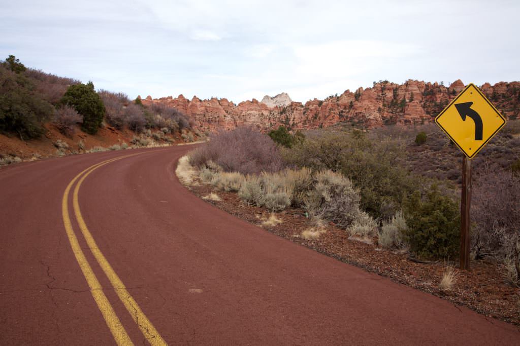
Description: Two roads run through the eastern part of Zion NP. The Zion-Mount Carmel Highway leads from Springdale through the national park to Mount Carmel. The road is public and can be used by private vehicle all year round. Along the highway there is a tunnel that may only be driven from one direction at a time. For this reason, there can sometimes be waiting times.
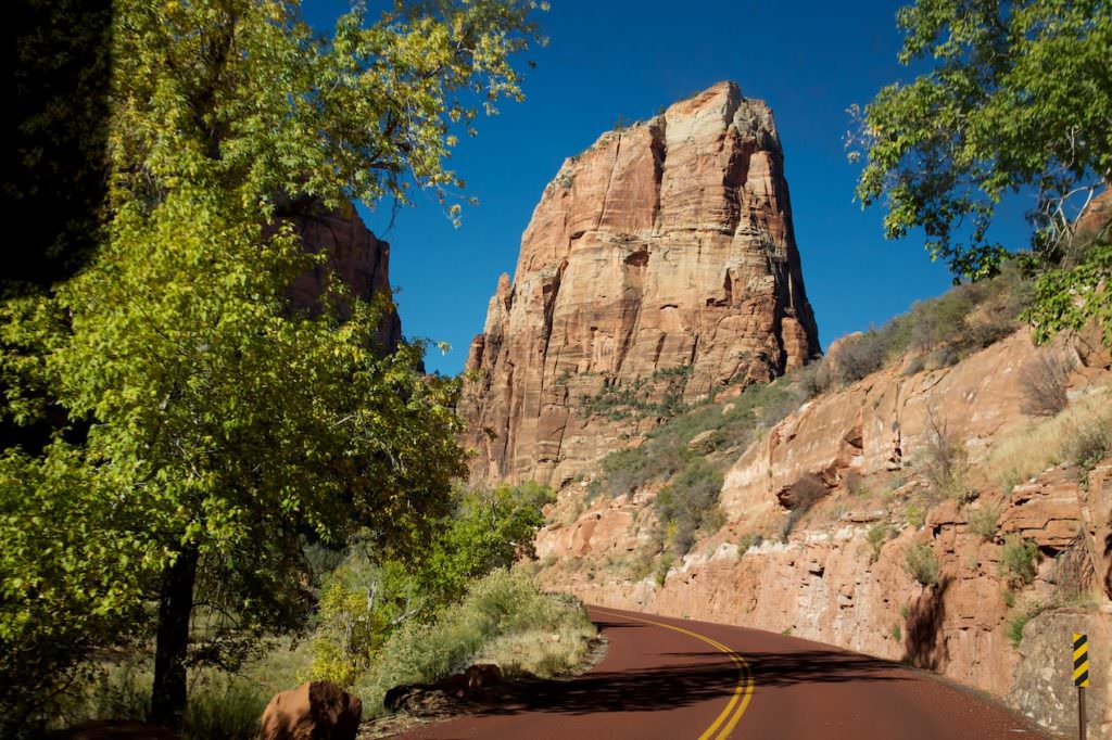
From this road, the Zion Canyon Scenic Drive leads into Zion Canyon. Except for the winter months, this road is only accessible by the park's own bus shuttle. These shuttles are free and run very regularly. Everything about the shuttle buses you will find at the official webpage .
Our rating: Even if you don't have time to hike, a drive through Zion NP is definitely worth a visit to the park.
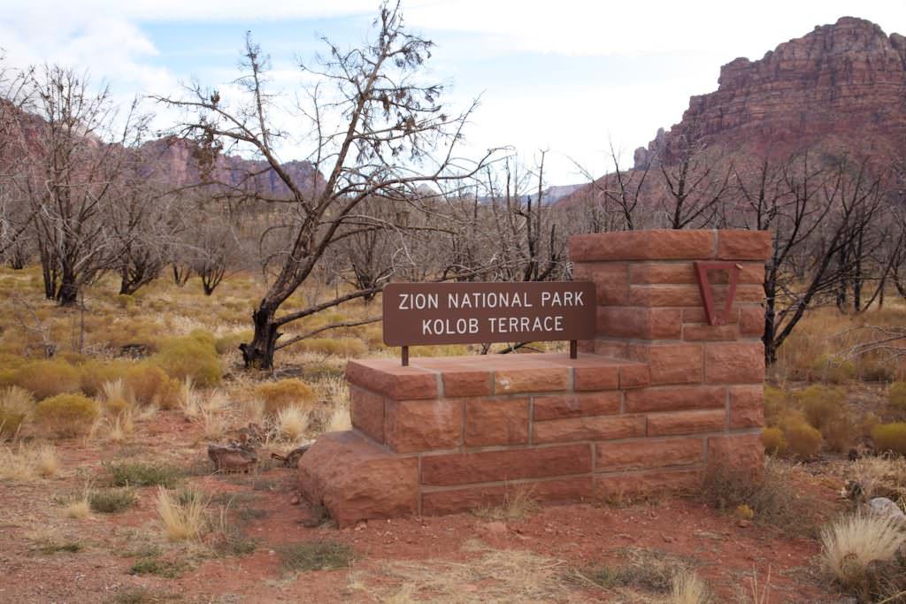
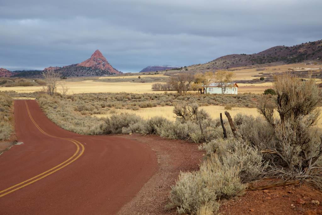
Kolob Terrace
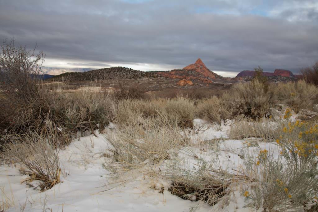
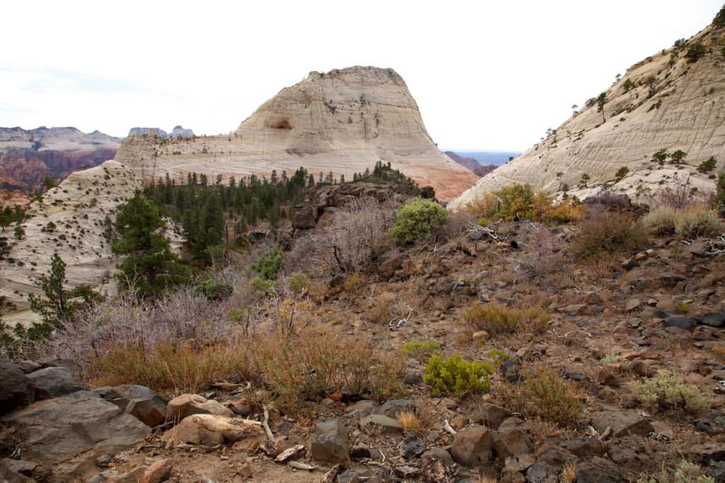
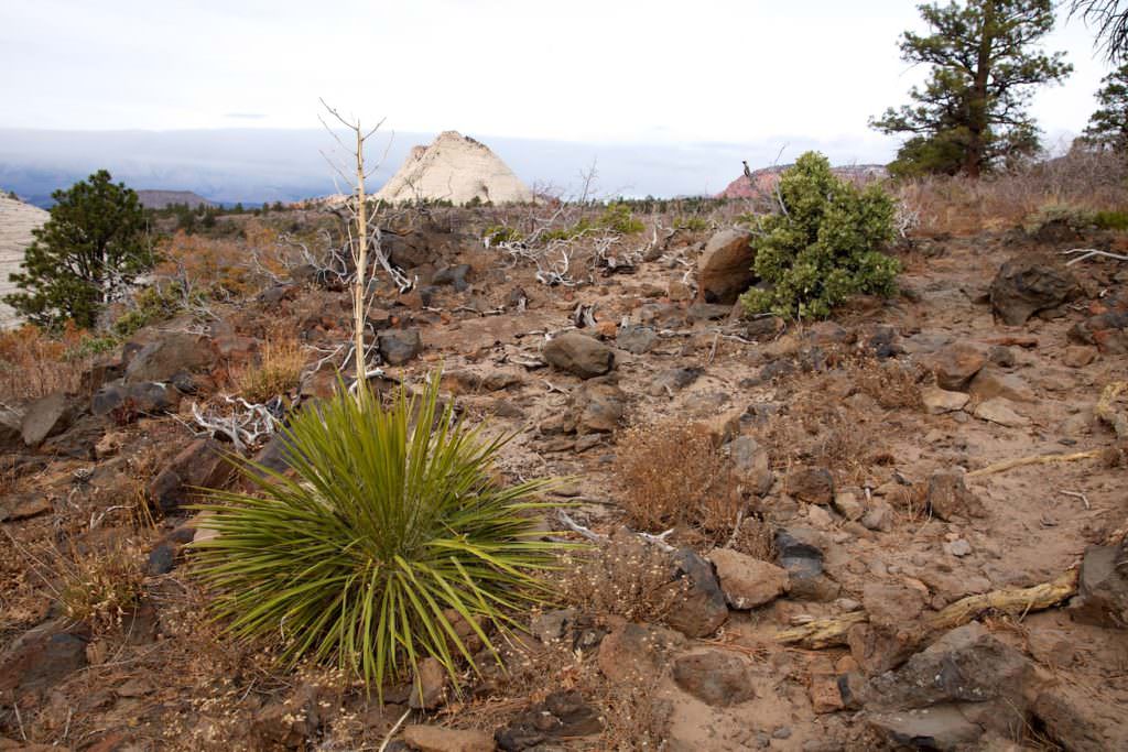
Description: You can reach this middle part of Zion NP via Kolob Terrace Road north of the small town of Virgin. This rather quiet part of the park offers great hikes to more remote parts of Zion NP. The most famous hike, which is also still on our bucket list, is the one to the Subway.
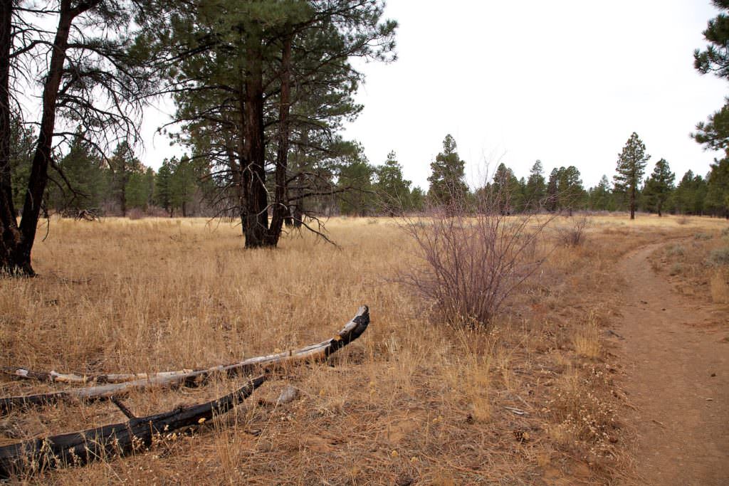
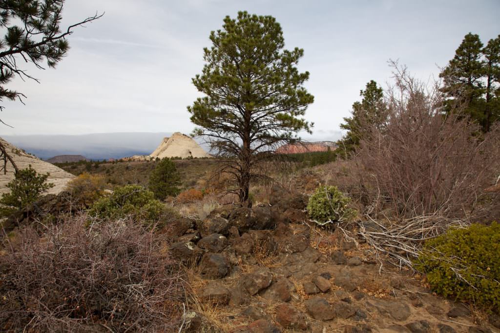
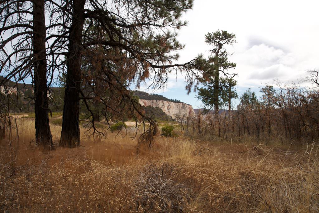
The Northgate Peak Trail is an easy, rather flat hike to viewpoints on the Northgate Peaks. You hike almost the whole time through the forest. Only at the end of the hike you have reached the viewpoints in open terrain.
Trail length: 2.3mi
Altitude difference: –
Time needed: 1-2 hours
Difficulty level: easy
Our rating: Not an absolute must see, but a nice hike to stretch your legs.
Kolob Canyons
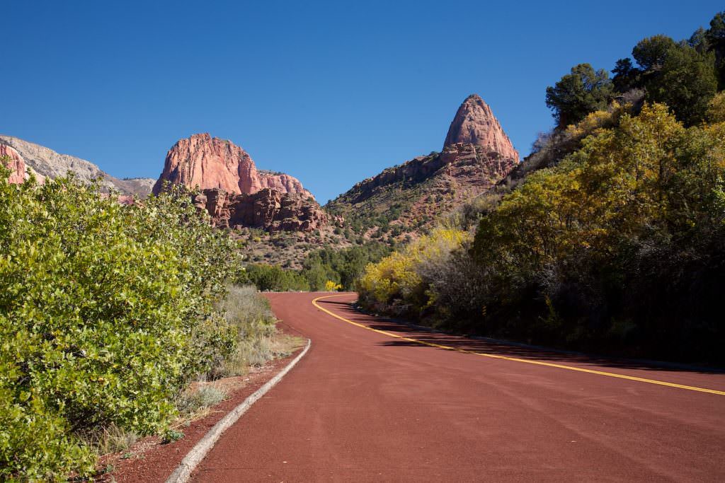
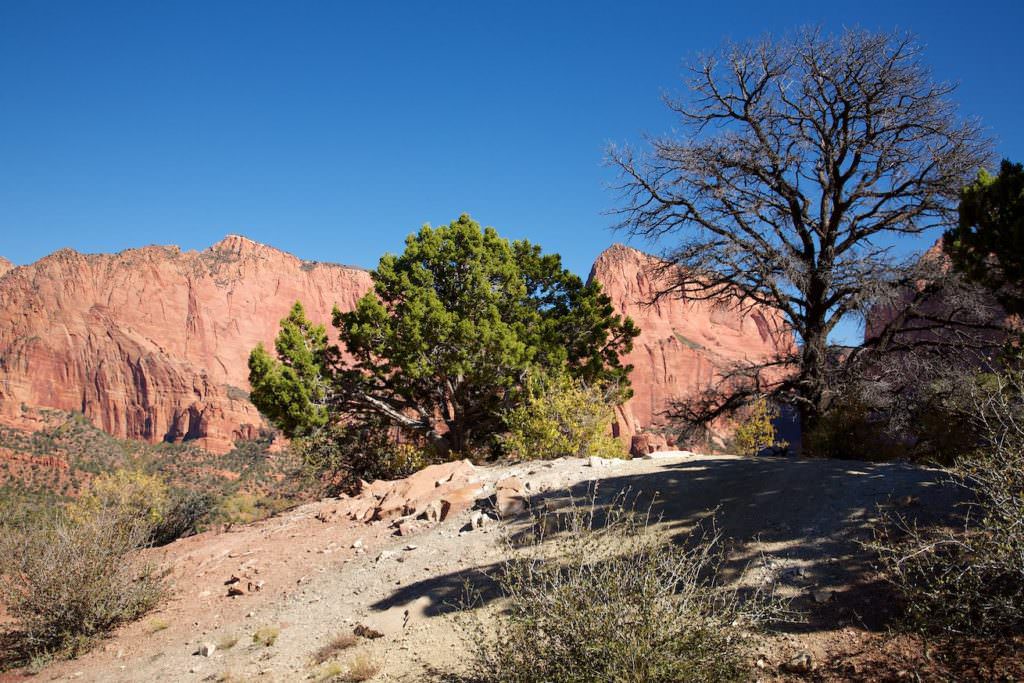
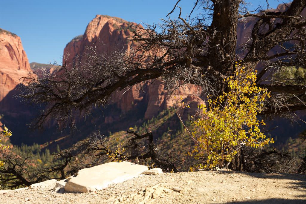
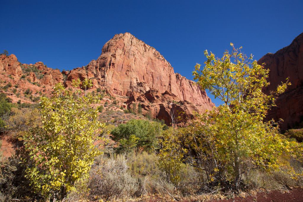
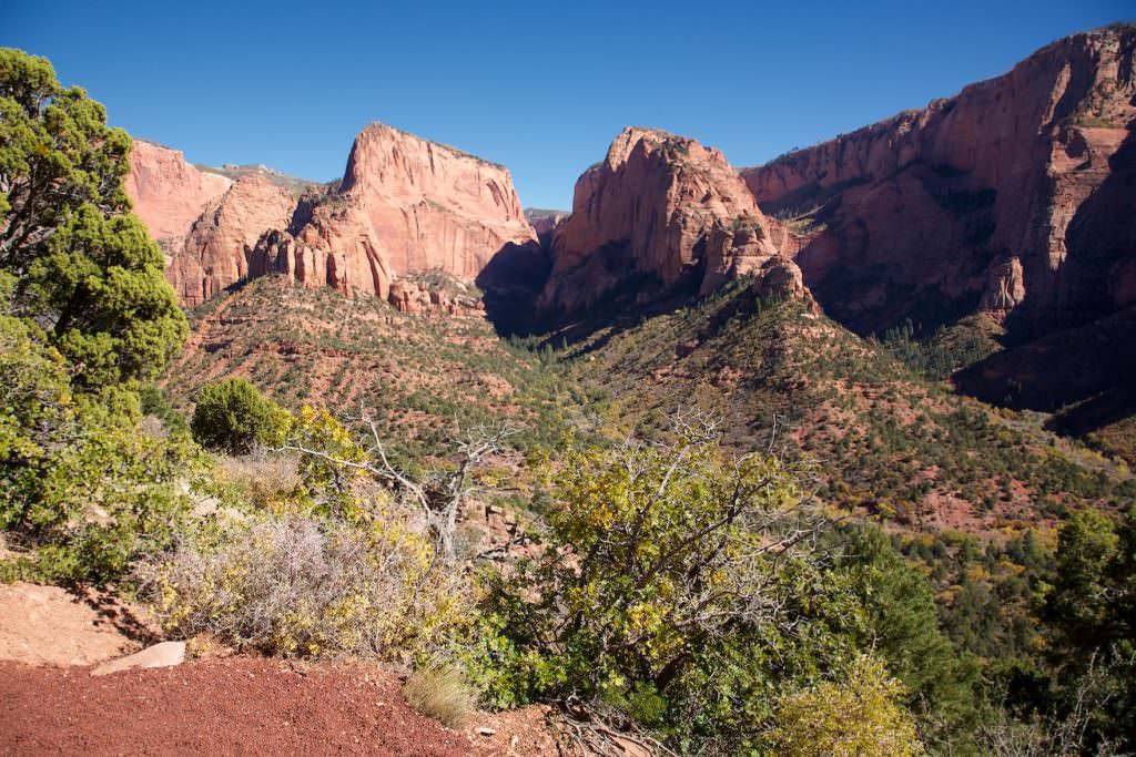
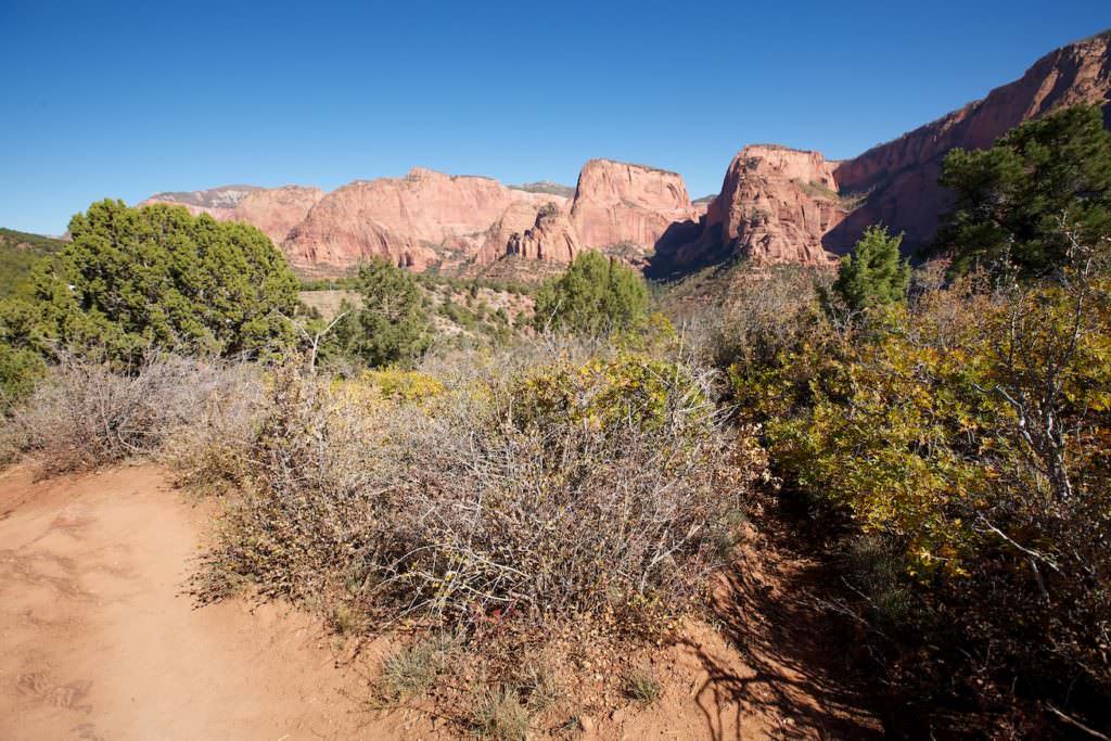
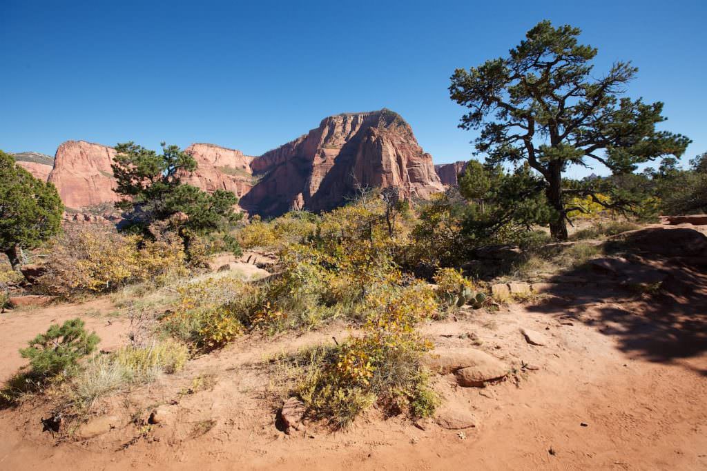
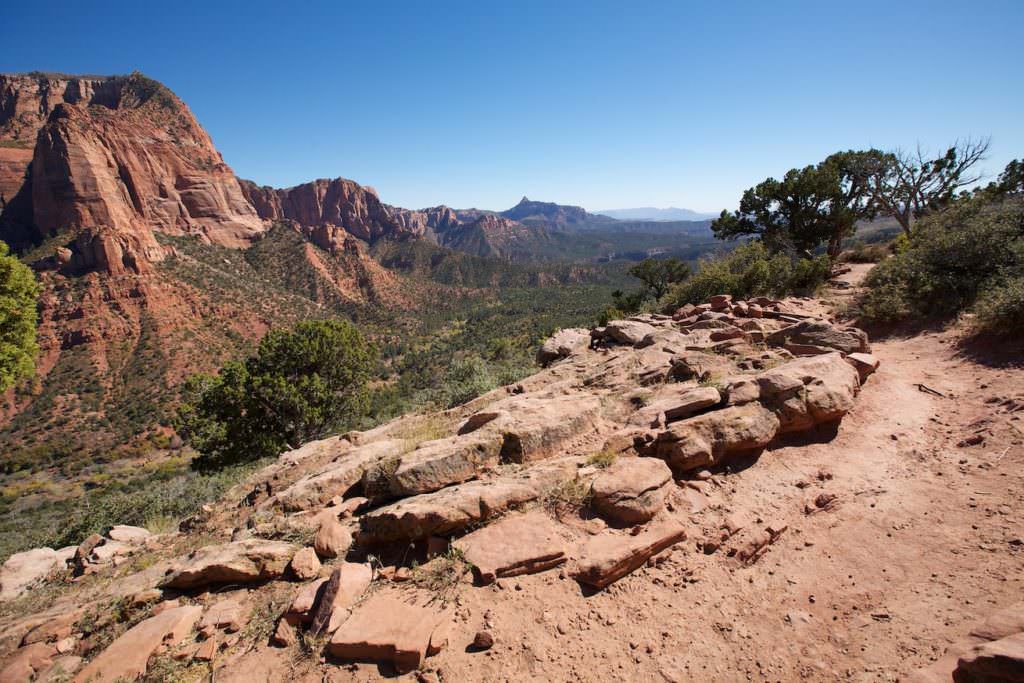
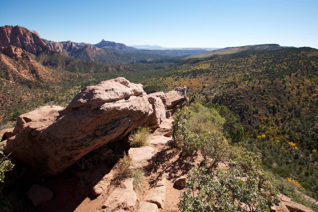
Description: Kolob Canyons can be reached via Exit 40 from Interstate 15. There is a visitor center and about 5mi of park road from which several hiking trails lead into Kolob Canyons. The road ends at the Kolob Canyons Viewpoint. From here starts the short Timber Creek Overlook Trail. Here you hike along a grade to the viewpoint over the Timber Creek Valley.
Trail length: 1mi
Altitude difference: 98ft
Time needed: 1 hour
Difficulty level: easy
Our rating: Like all parts of Zion NP, this one is very respectable. We had fun to take a closer look here and we can definitely recommend a detour.
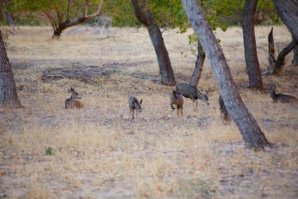
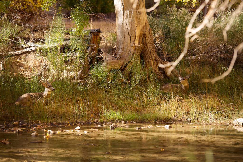
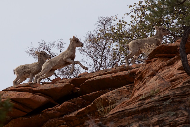
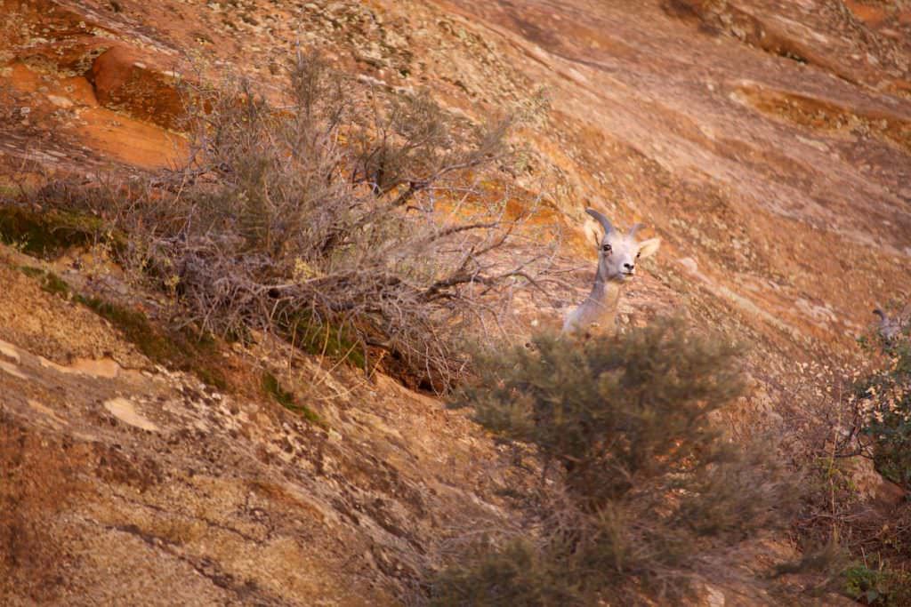
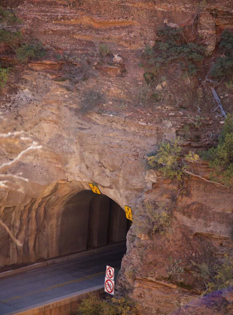
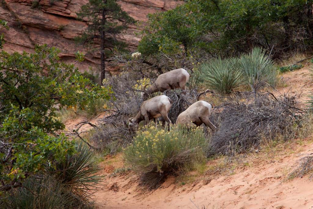
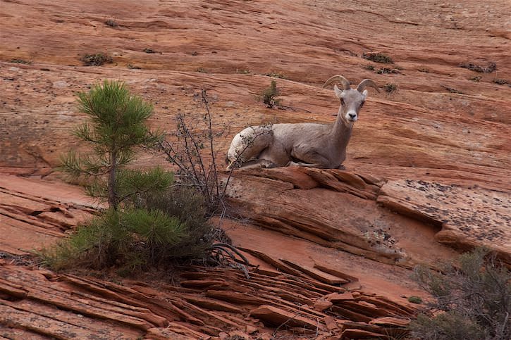
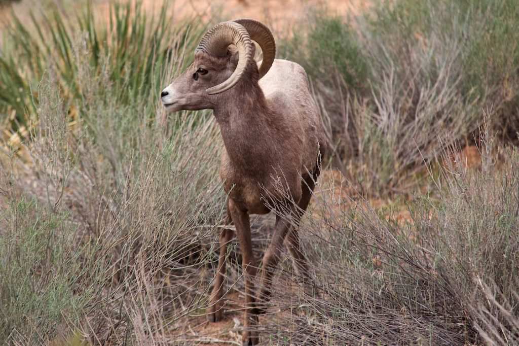
An important and always very fun part are the animals that you can observe in their natural habitat, especially in the national parks. Here in Zion NP we were able to spot the animals shown below.

