Arsenic Arch
Around Hanksville - Utah
Note: On dirt roads, road conditions can change constantly. Therefore, we strongly recommend that everyone check the road conditions before each trip. We do not recommend driving on unpaved roads before, during or shortly after rain or snowfall.
Coordinate junction Highway 95: Latitude: 38.097218; Longitude: -110.621544
Coordinate parking lot: Latitude: 38.097411: Longitude: -110.536930
Our visits: So far 1 visit in April 2022
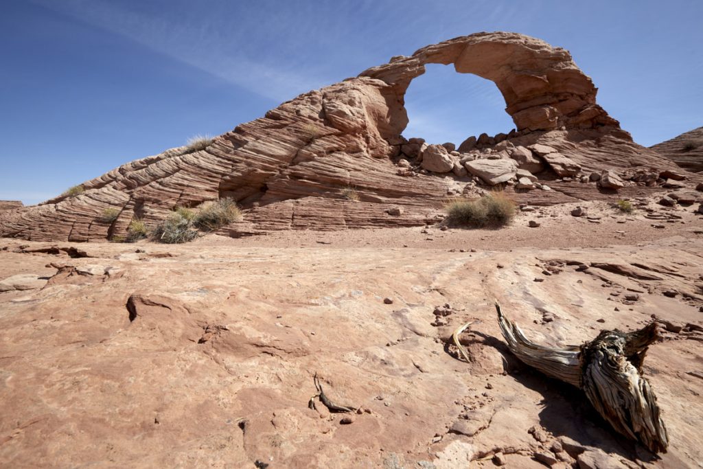
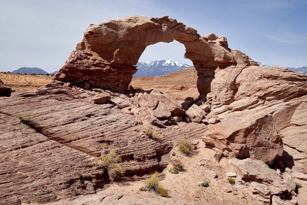
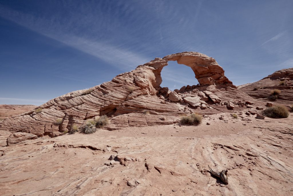
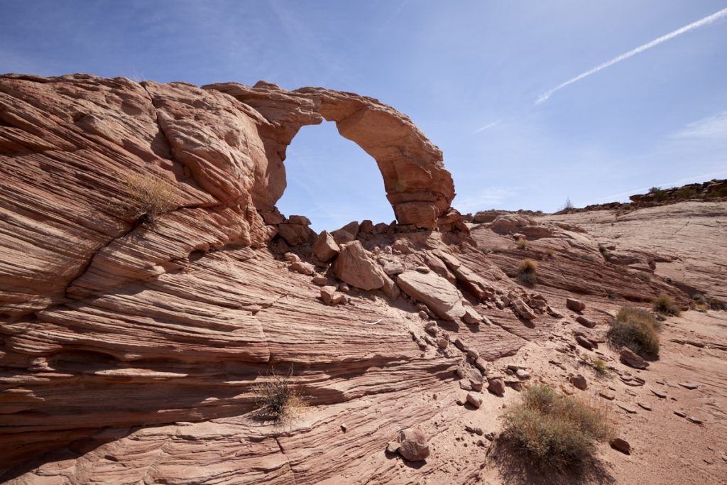
Arsenic Arch
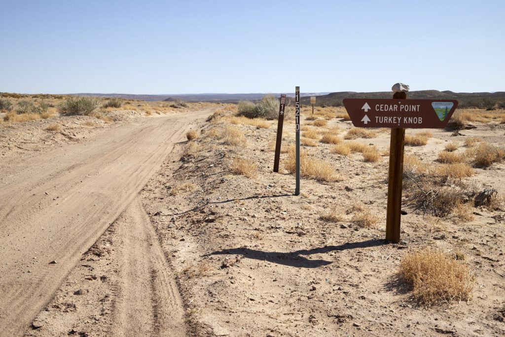
Route description: The turnoff to the dirt road leading to the Arsenic Arch Trailhead is about 32km south of Hanksville. ( Coordinates above). At the time of our visit in April 2022, the Dirt Road was in pretty decent condition. High clearance was necessary in some places. There is a small parking lot at the trailhead (coordinates above).
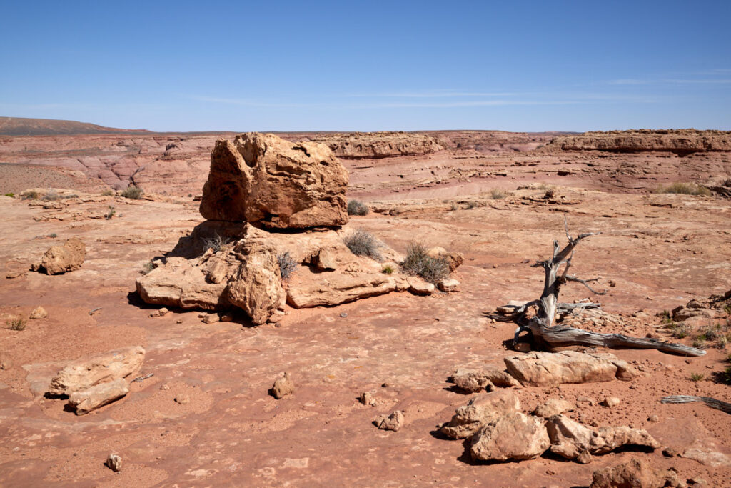
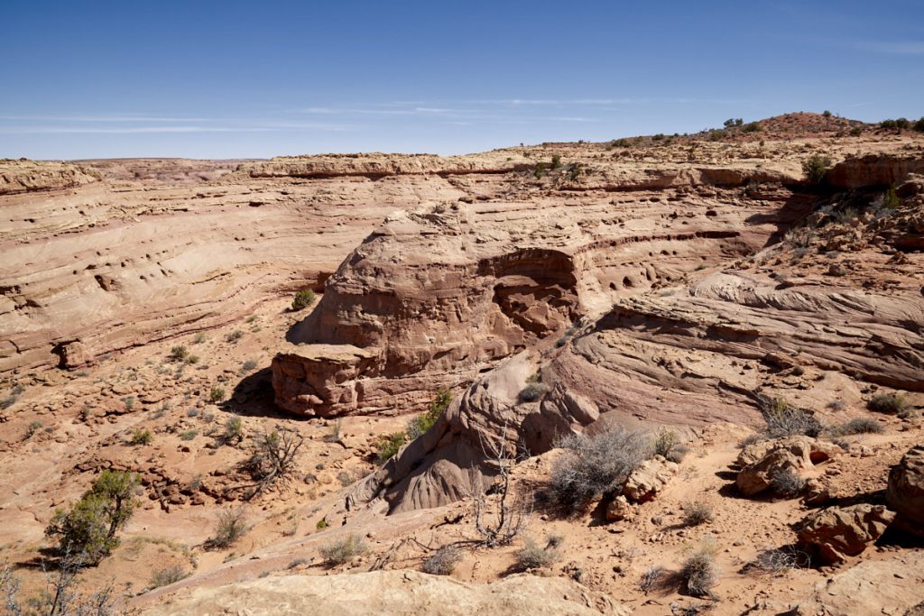
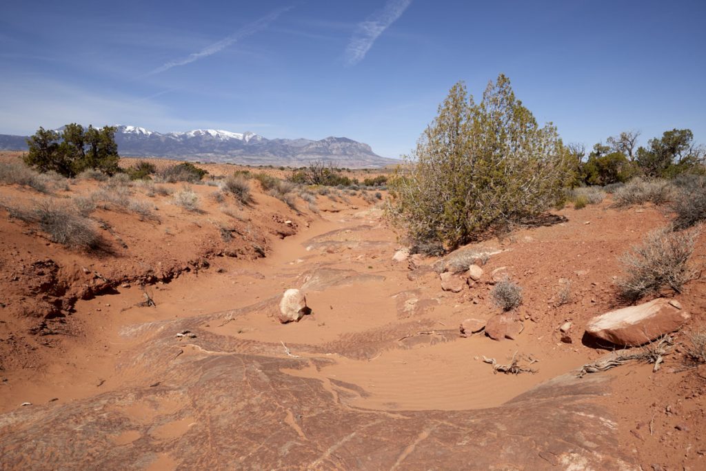
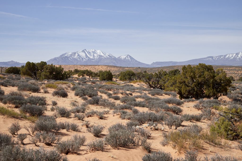
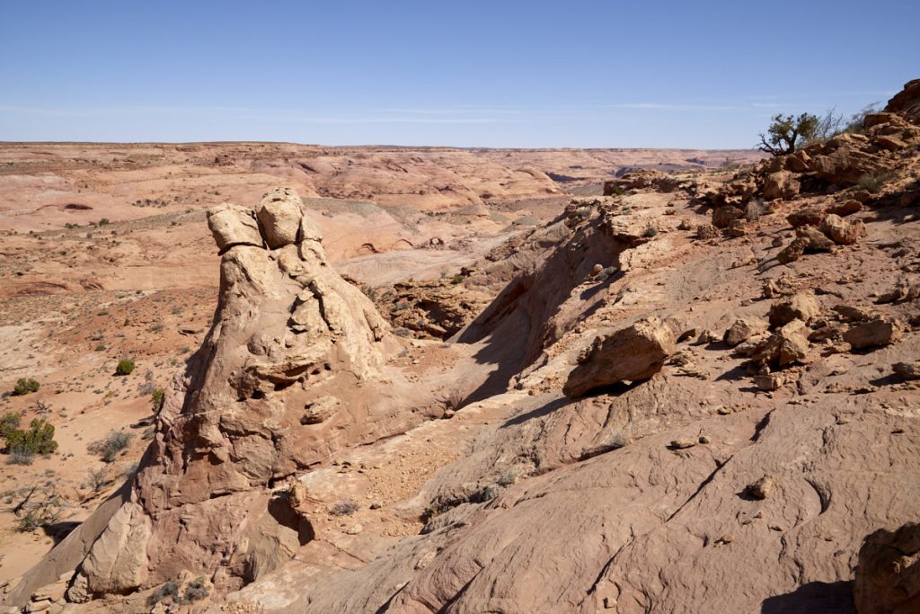
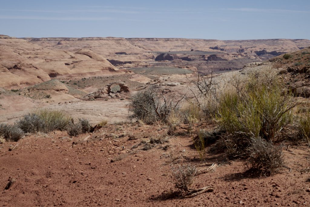
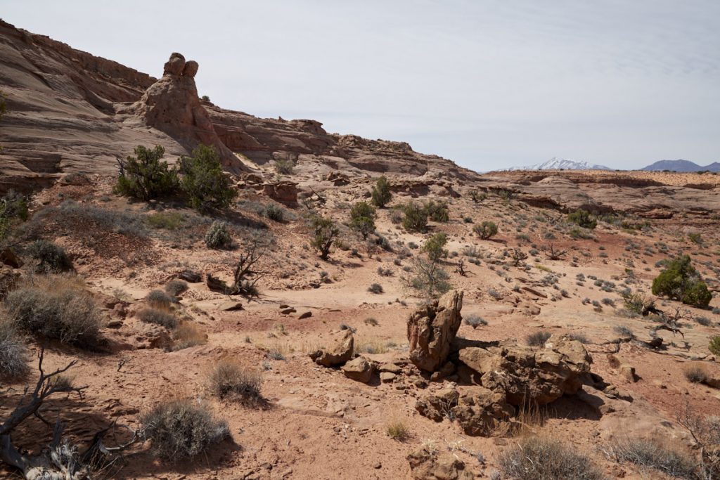
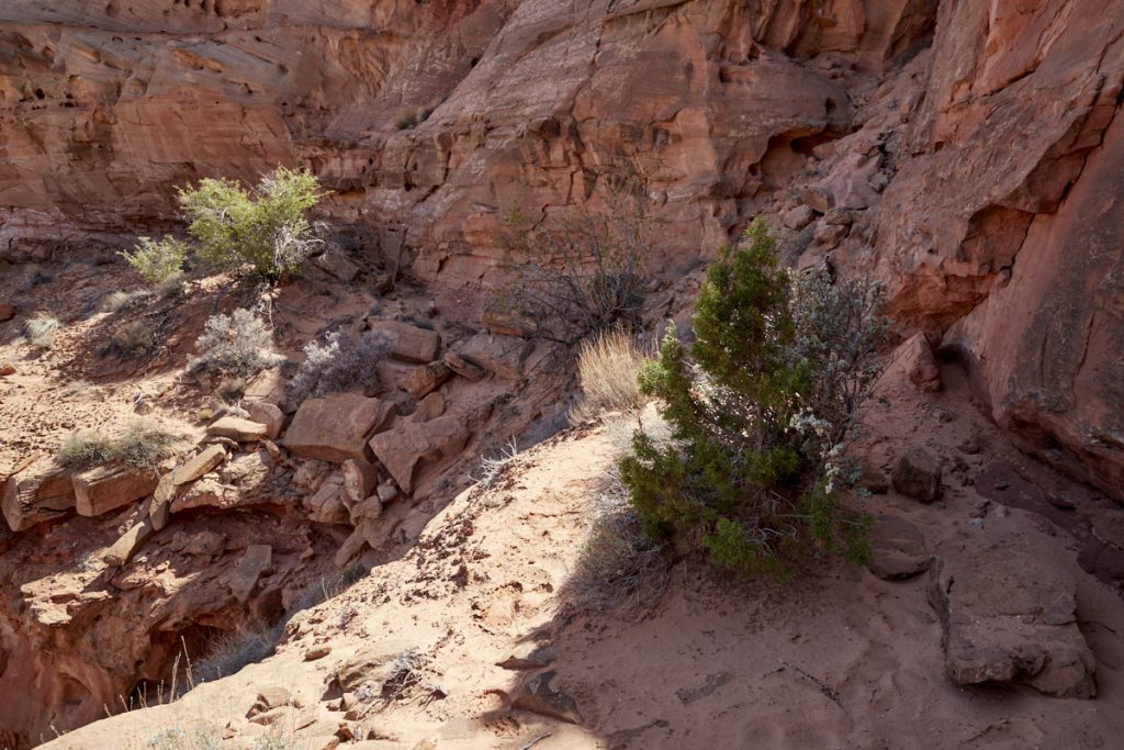
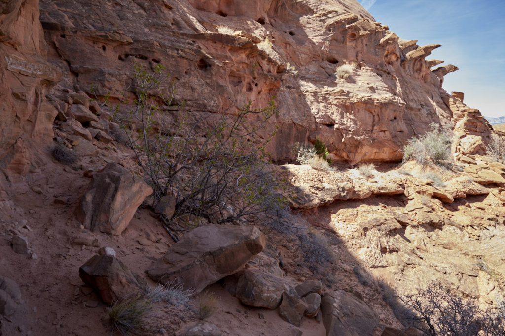
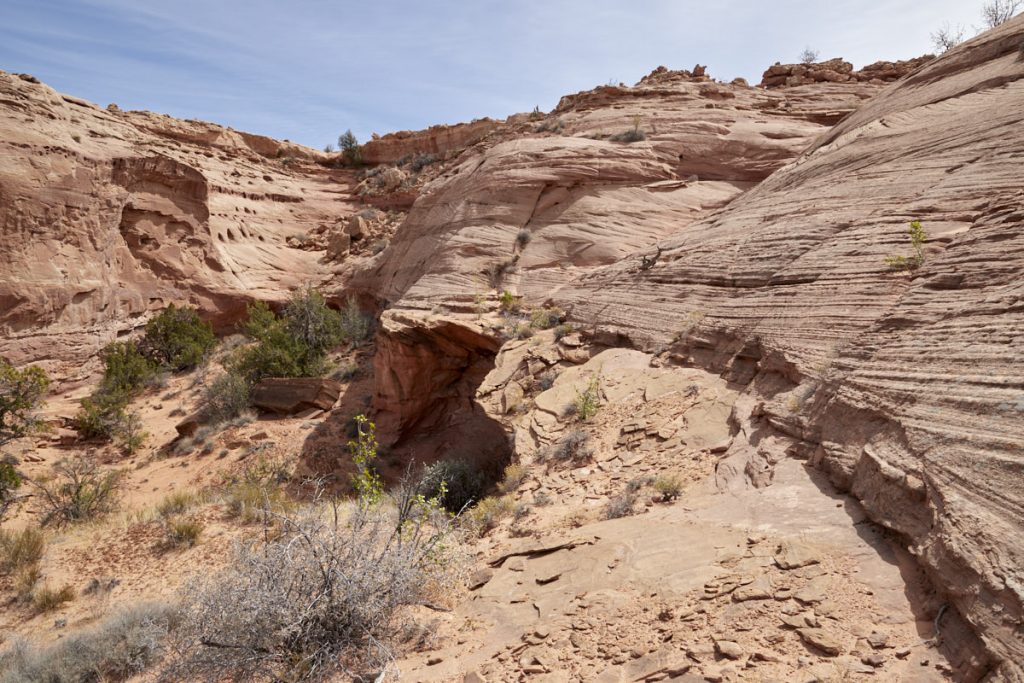
Hike description: From the parking lot you first descend down a large sand dune into a wash. Follow this wash until you reach the rim of the canyon. From here you can already see the arch in the distance. To get to the arch you have to look for a place where you can get down to the plateau where the arch is located. Shortly before the arch you have to overcome a somewhat exposed spot. This leads past a drop-off, but is basically no problem. Shortly thereafter you will reach the pretty arch.
Trail length: approx. 2.3mi
Altitude difference: approx. 525ft
Time needed: 2 hours
Difficulty level: easy to moderate
Our rating: A nice little hike. The only difficulty is the descent to the lower plateau. Here you have to look for a suitable place yourself. On the track we have linked above, you can see where we climbed down and back up. If you don't have the courage to go down, you can also have a nice look at the arch and the surrounding area from the top. Since the hike is not difficult and the surroundings are really beautiful, we can recommend a trip there in good conscience.

