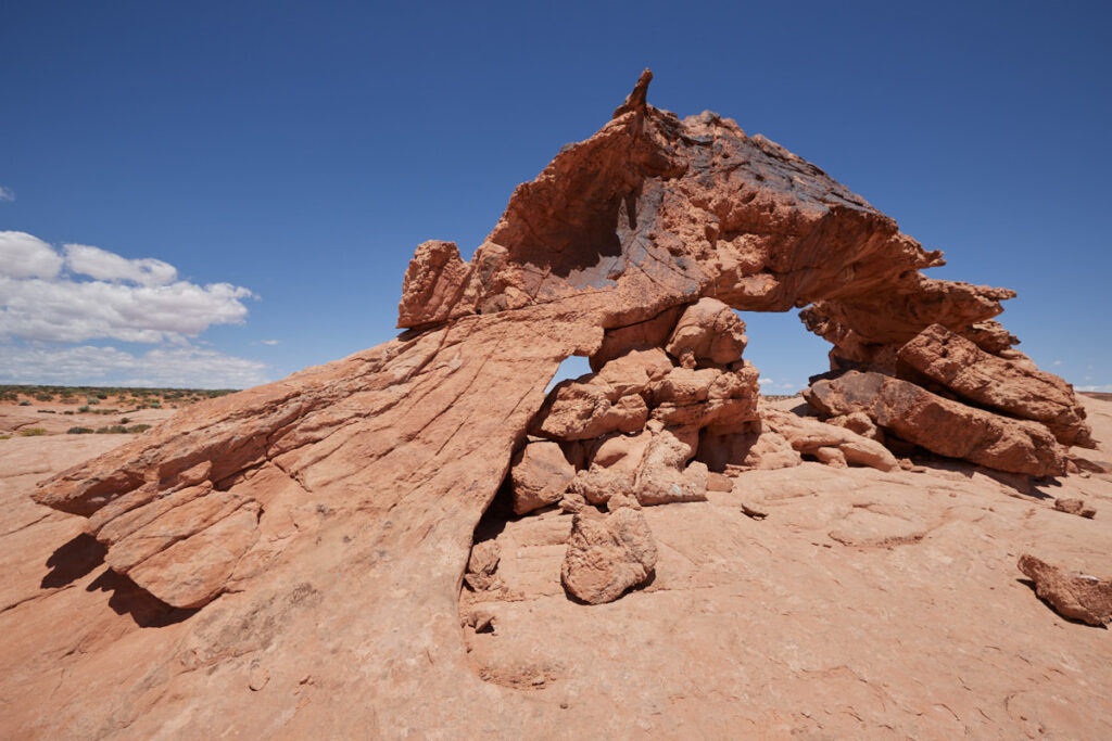
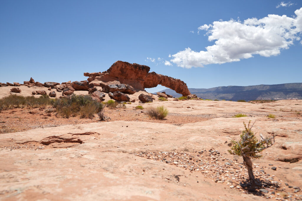
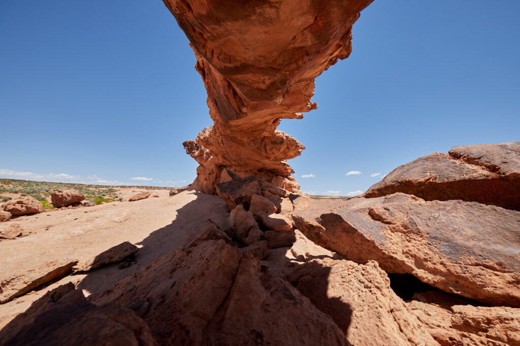
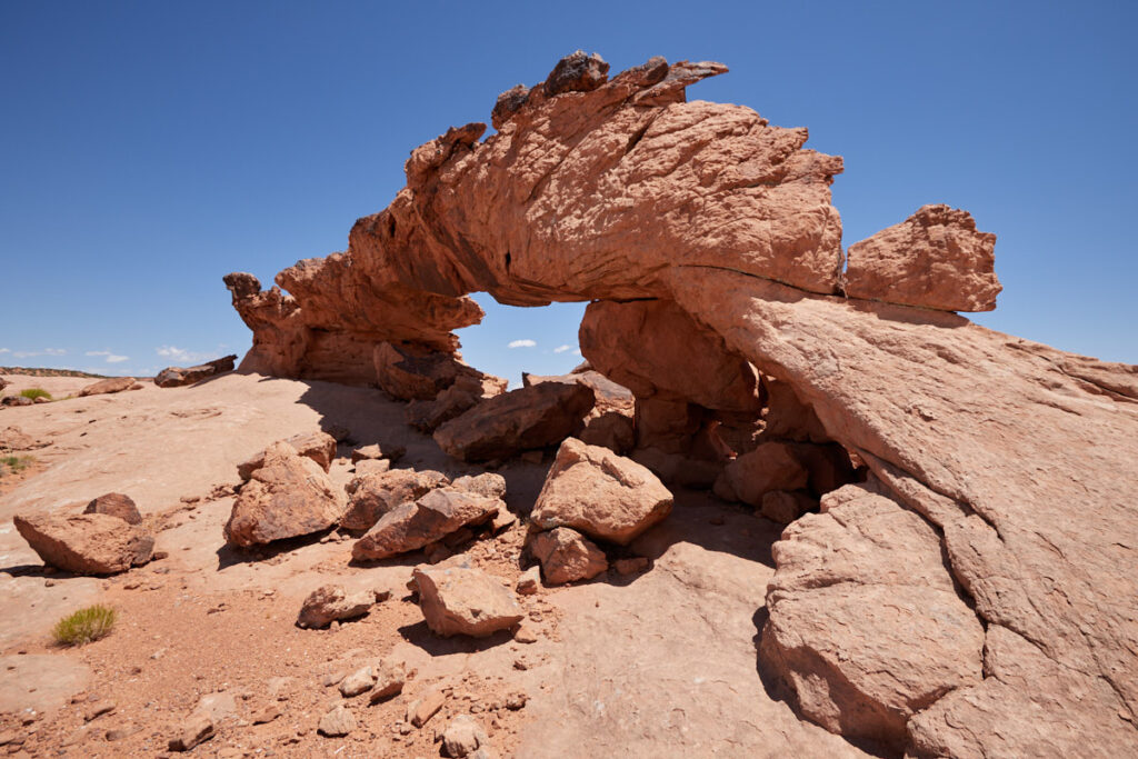
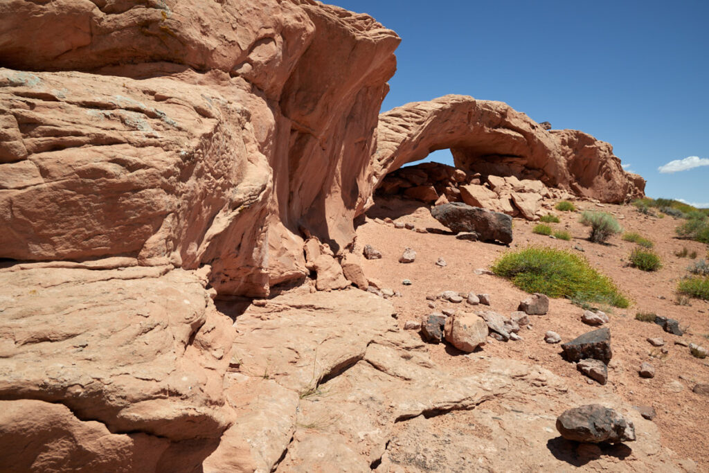
Sunset/Moonrise Arch
Around Escalante - Utah
Note: On dirt roads, road conditions can change constantly. Therefore, we strongly recommend that everyone check the road conditions before each trip. The most current information is usually available on the BLM website in Escalante.
GSENM-Road-Condition-Report
Coordinates:
Junction onto Hole in the Rock Road: Latitude 37.727640, Longitude -111.531404
Junction towards the trailhead: Latitude 37.362170, Longitude -111.114830
Parking lot: Latitude 37.392502, Longitude -111.048626
Our visits: So far 1 visit in May 2023
Die Anfahrt
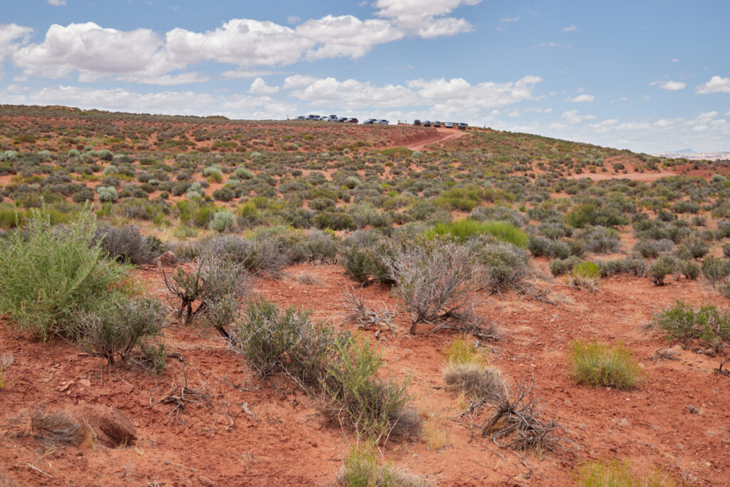
Description: The drive is similar to all the other trailheads we have driven to along the HitRR so far. The Hole in the Rock Road is in more or less good condition and is generally easy to drive on in dry conditions. The side roads (Fortymile Road) that lead to the trailheads (Coyote Gulch TH) are usually in less good condition and you often need at least a decent amount of ground clearance on your car. Here, the road from Hole in the Rock Road to the trailhead is about 4.4mi long and was in relatively poor condition when we visited in June 2023. It was very sandy or stony in places, but would have been passable without four-wheel drive.
The hike
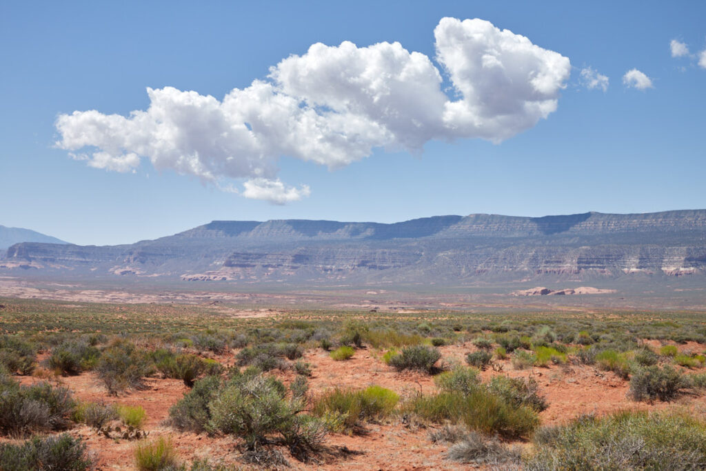
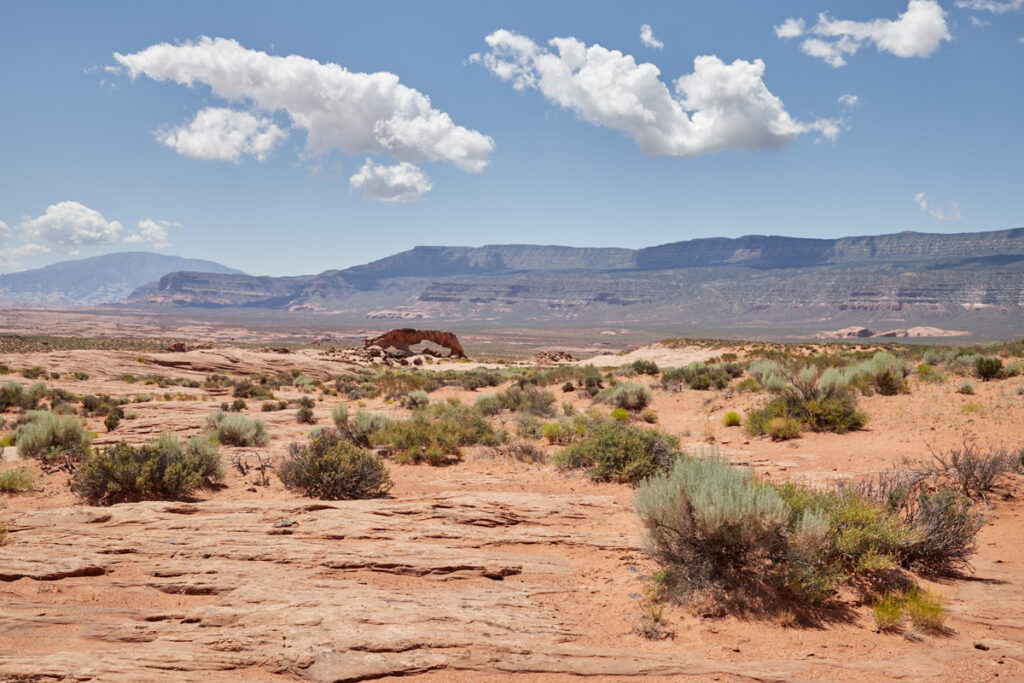
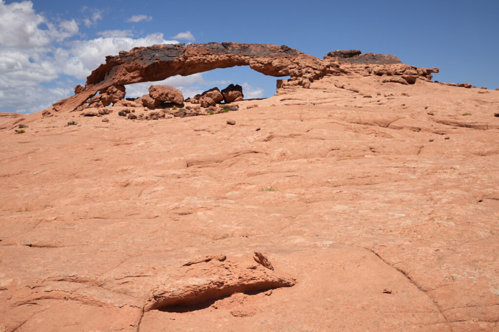
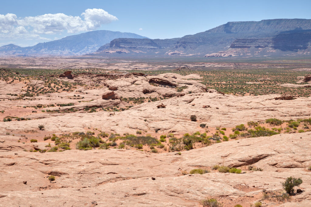
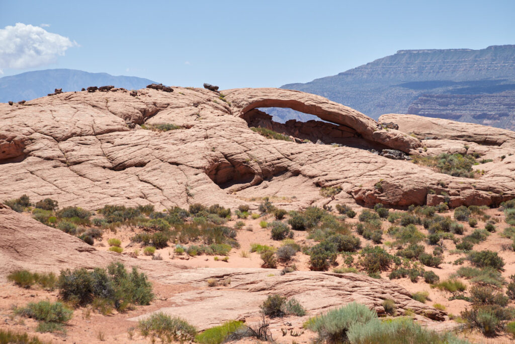
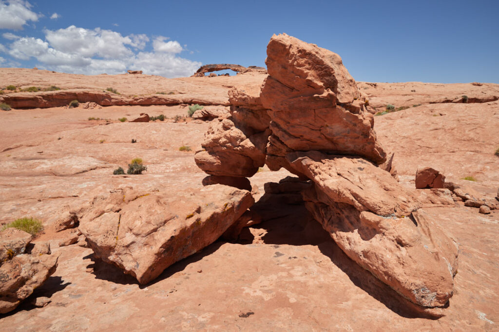
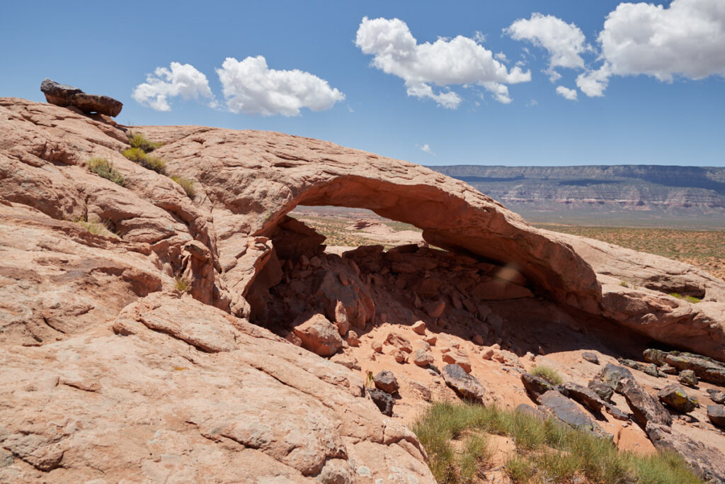
Description: The hike is basically very easy. If you know which way to look, you can already see the Sunset Arch from the trailhead. Therefore, you will be able to walk straight towards it. You walk on more or less firm, sandy ground, steadily downhill until you reach Sunset Arch after about 1.2mi. About 0.3mi past Sunset Arch you can also see Moonrise Arch.
Trail length: approx. 3mi roundtrip
Altitude difference: approx. 33feet
Time needed: 2-3 hours
Difficulty level: easy
Sunset Arch
Description: Length: 40feet, height: 12feet
Moonrise Arch
Description: Length: 30feet, height: 6feet
Our rating: The hike is short and easy and the two sandstone arches are very pretty. So there's nothing to stop you visiting here. For us, the hike in June 2023 was a pleasant variation on our trip to the Hole in the Rock.

