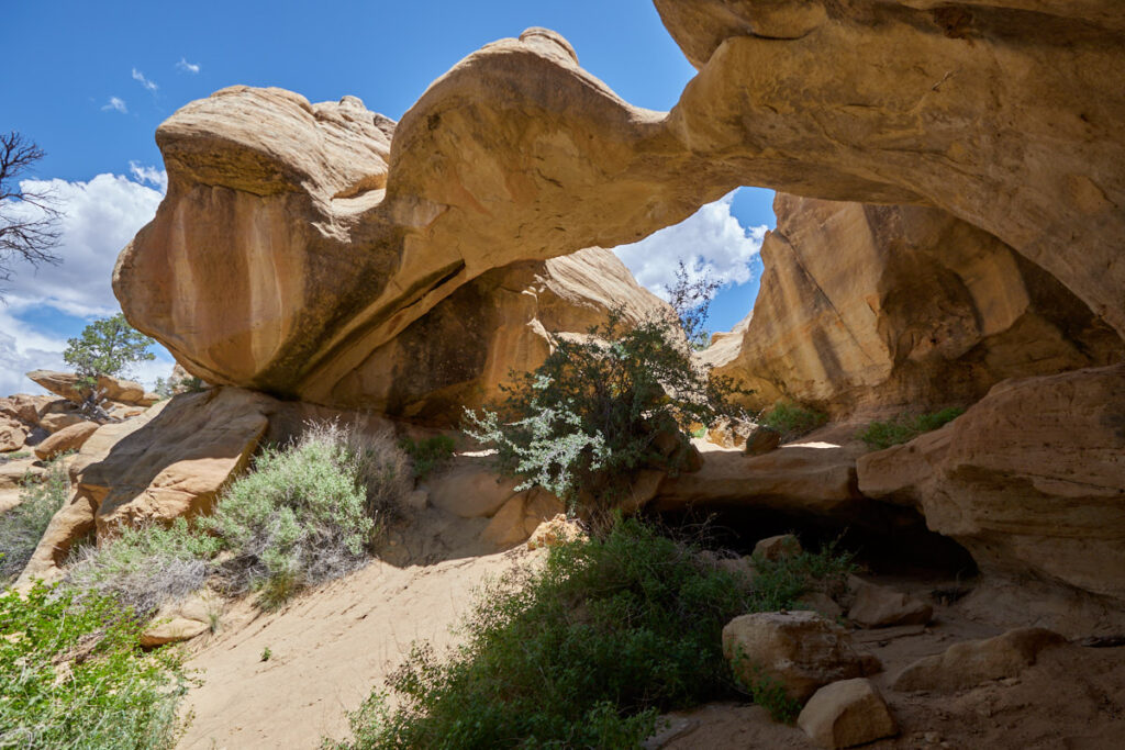
Aztec Arches
Around Farmington - New Mexico
Note: On dirt roads, road conditions can change constantly. Therefore, we strongly recommend that everyone check the road conditions before each trip. We do not recommend driving on unpaved roads before, during or shortly after rain or snowfall.
Our visits: So far 1 visit in June 2023
Aztec Arches
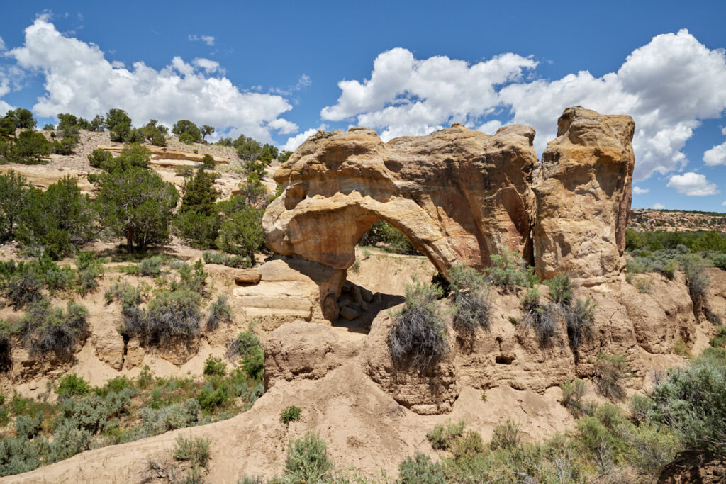
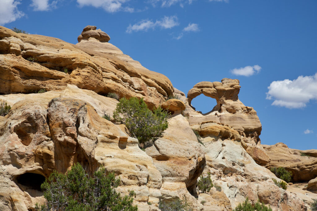
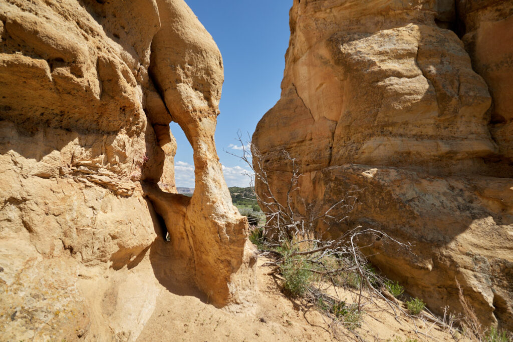
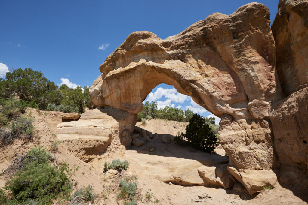
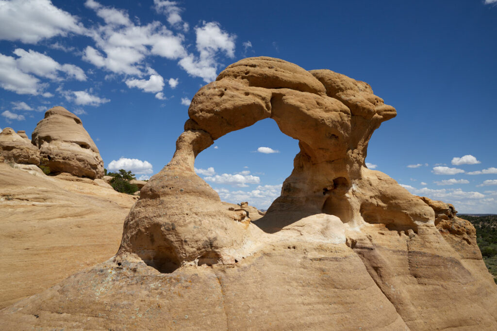
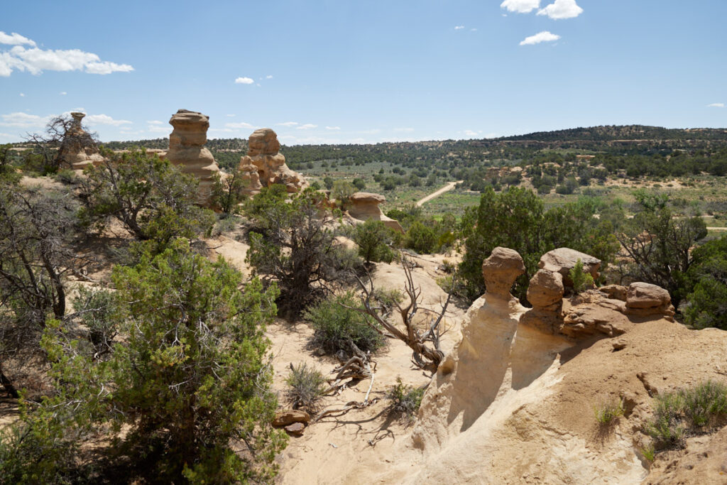
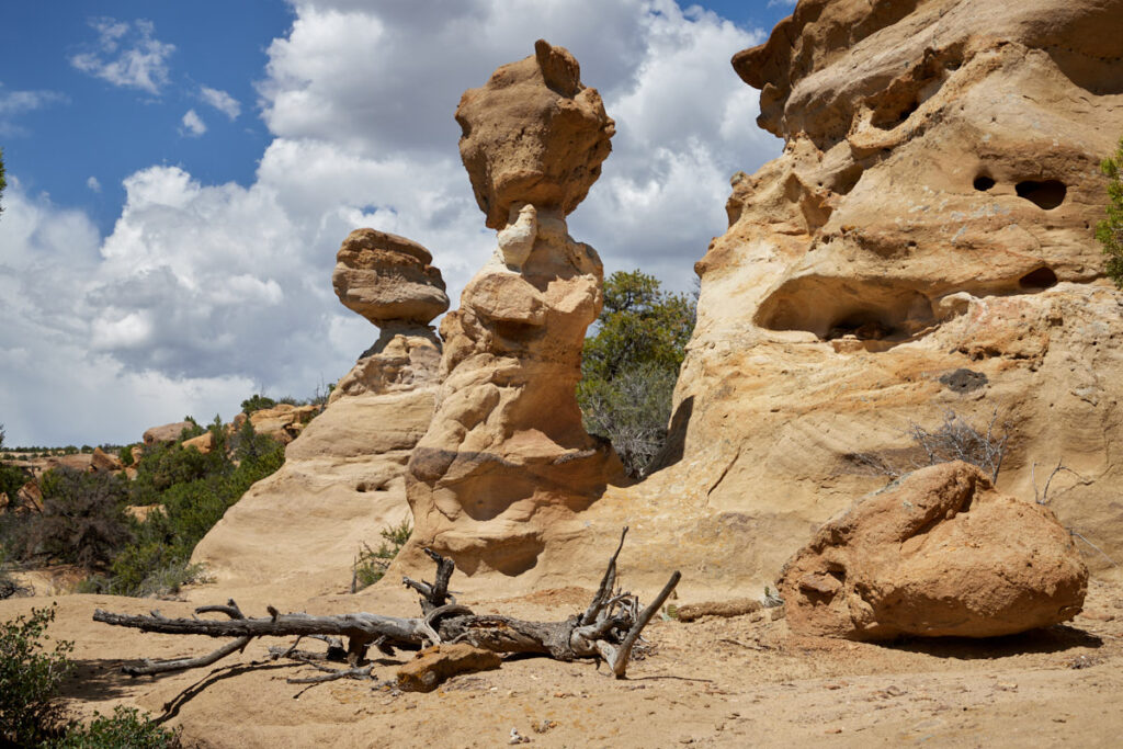
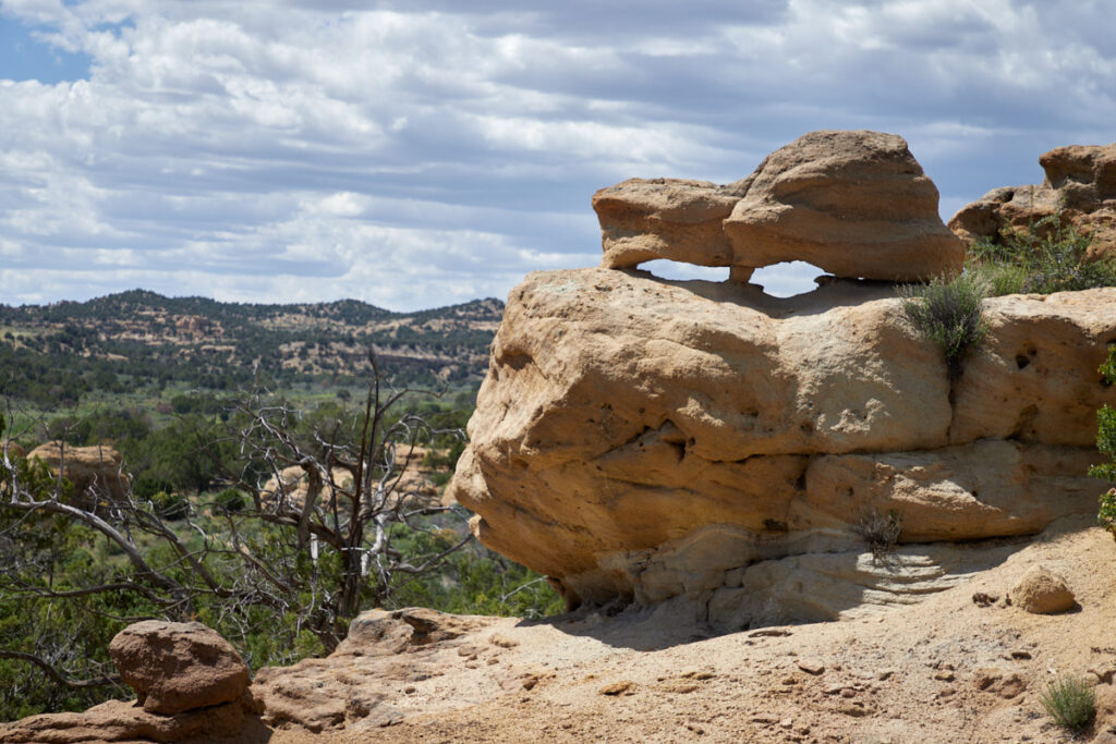
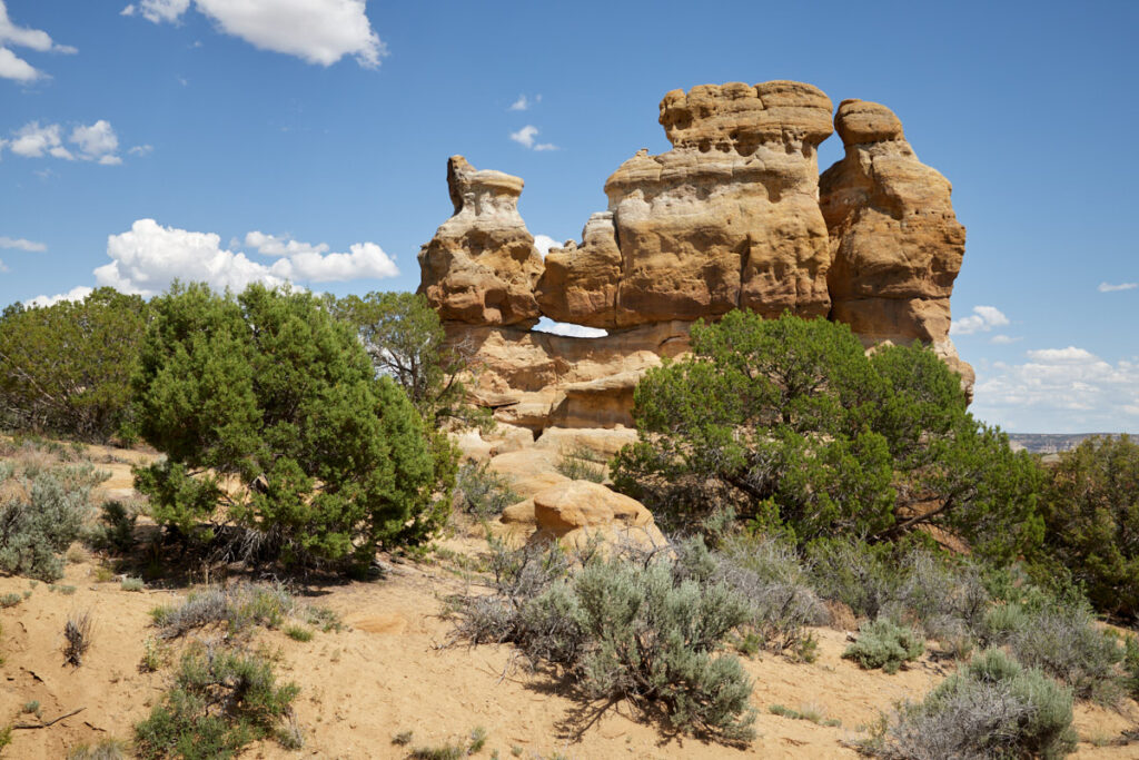
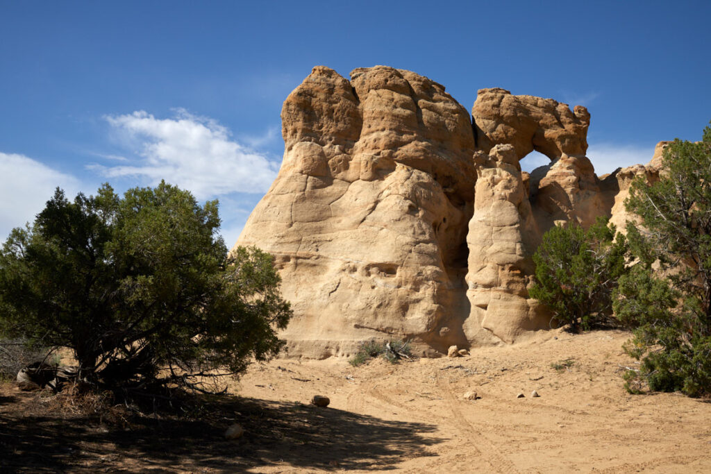
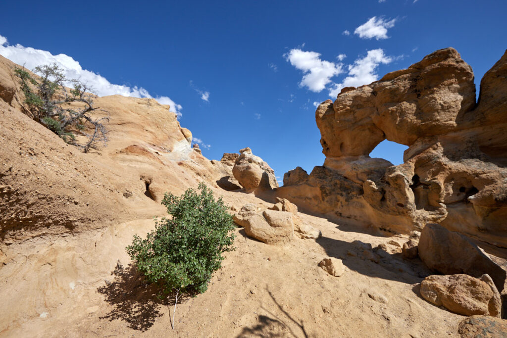
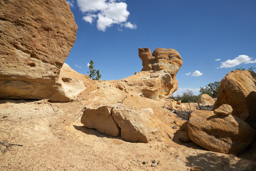
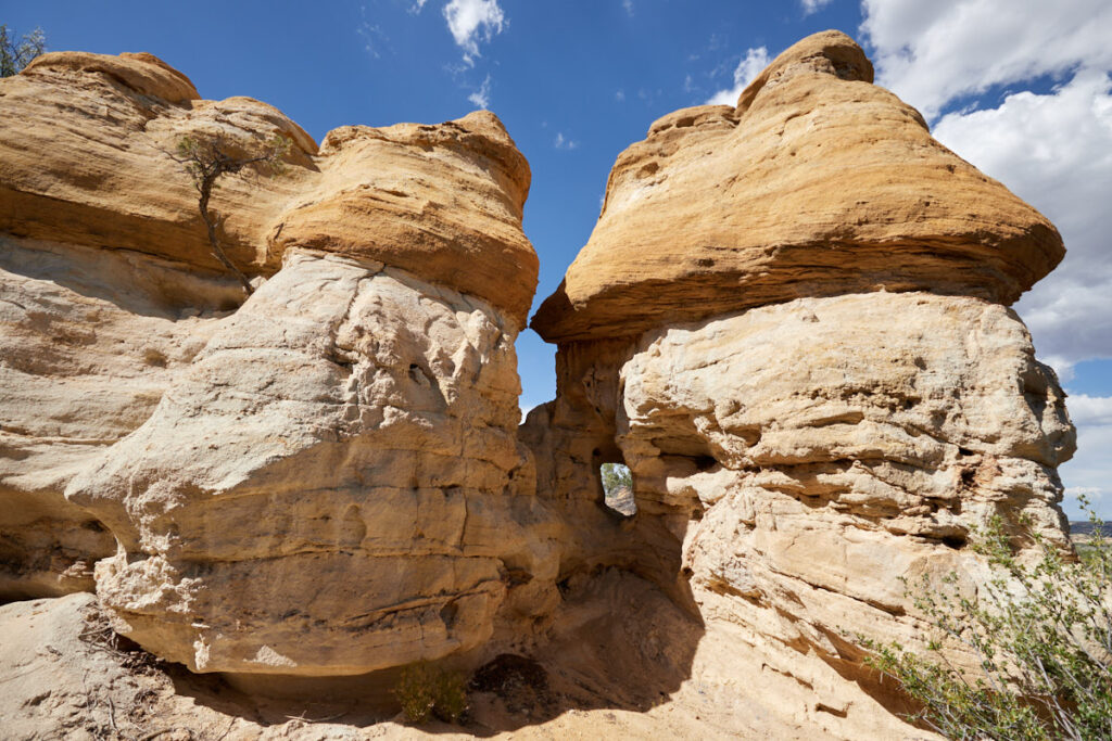
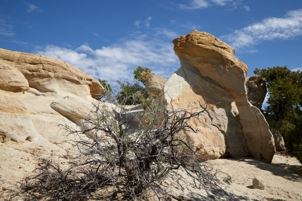
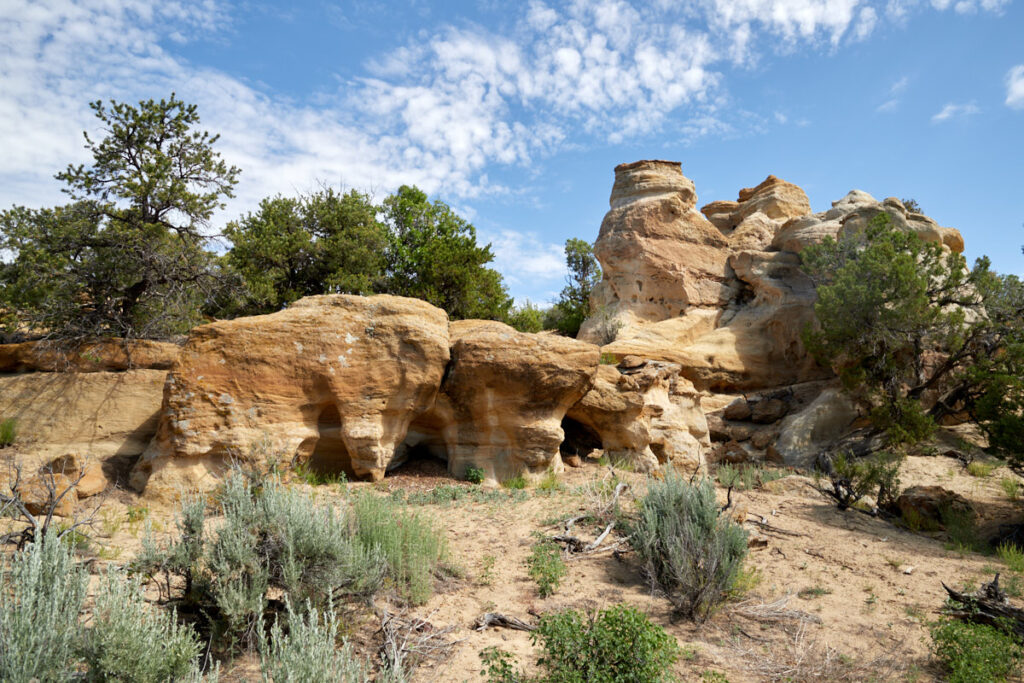
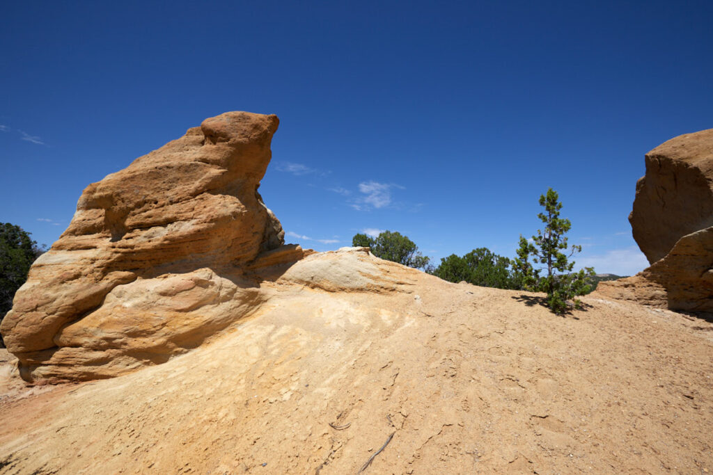
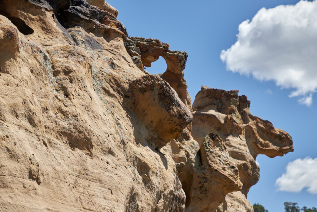
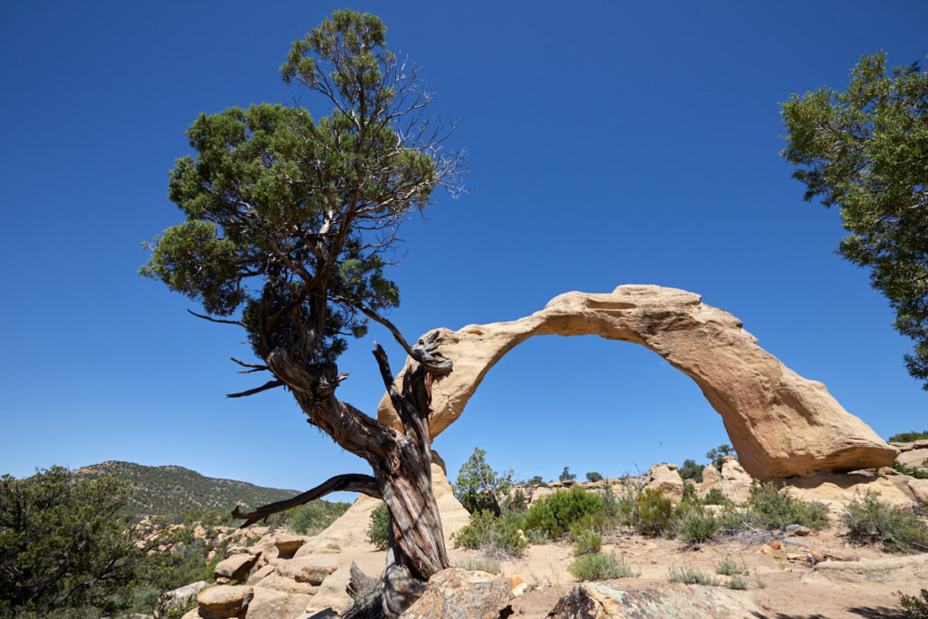
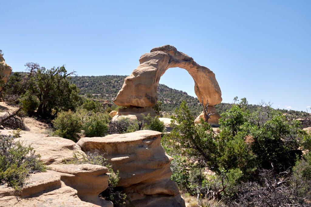
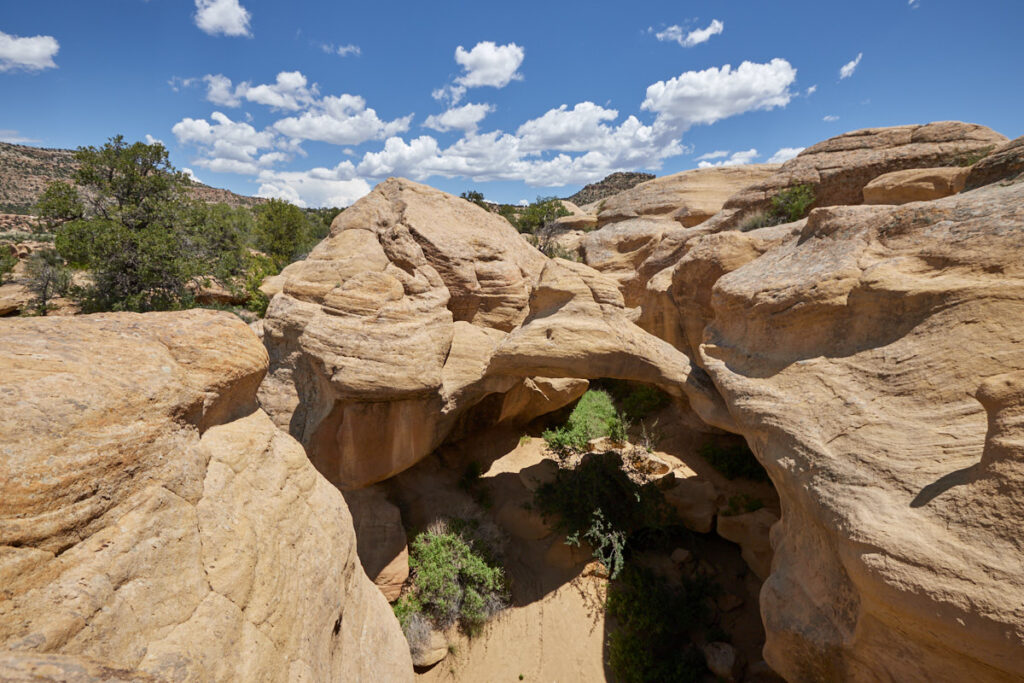
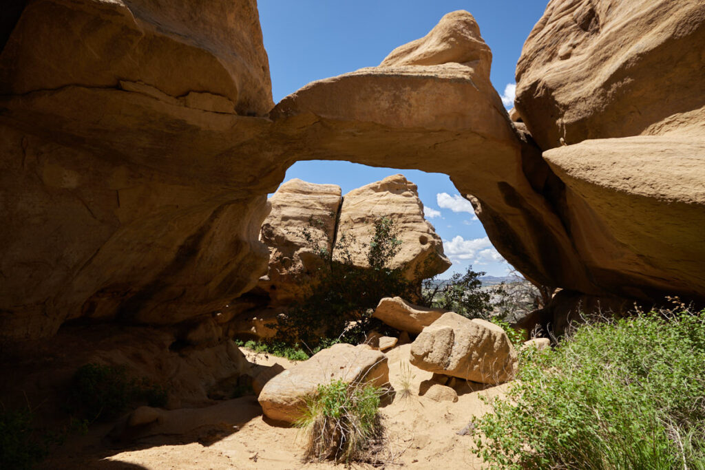
Description: Around Aztec you can find countless Arches. Many of them are listed on the website of the - The Natural Arch and Bridge Society . We visited a few of them in June 2023. All are located east of Aztec and are mostly accessible via dirt roads. The unpaved roads were in good condition, but a vehicle with high clearance was still useful for some spots. To find the arches in the various rocky areas a gps is also an advantage.
Coordinates:
Arch Rock: Latitude 36.890924, Longitude -107.849353
Drumstick Arch: Latitude 36.814867, Longitude -107.815120
Rooftop Arch: Latitude 36.814681, Longitude -107.814205
Petrog Arch: Latitude 36.809039, Longitude -107.805215
Pillar Arch: Latitude 36.793492, Longitude -107.894337
Kiss Arch: Latitude 36.798774, Longitude: -107.832869
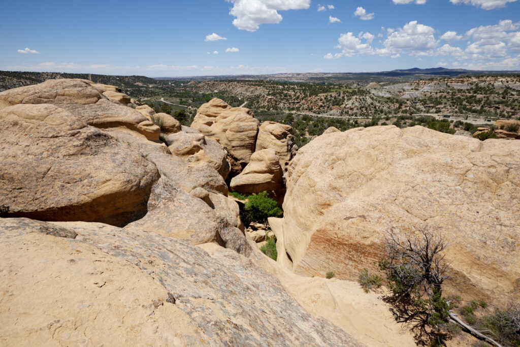
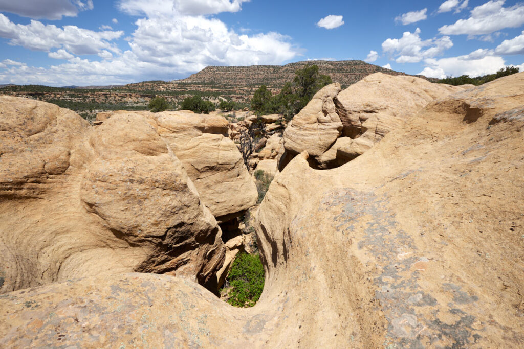
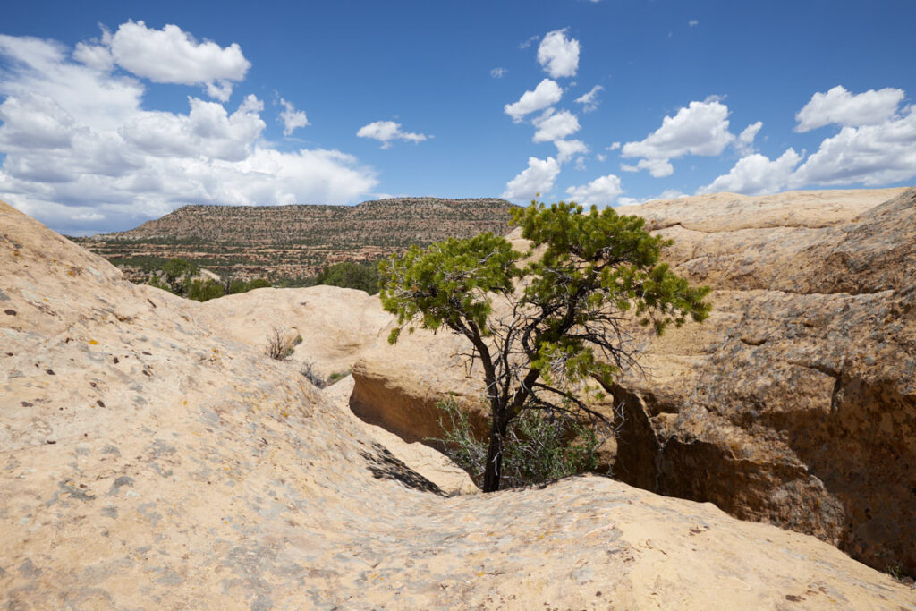
Our rating: Looking for arches was a lot of fun. What we particularly liked and we were also surprised of were the many beautiful rock formations that were everywhere in addition to the Arches. Often the Arches were not immediately and obviously to recognize therefore we have to search for them, despite gps coordinates. During such a search we also had to find out that the Kiss Arch no longer exists.
Here are the gps files of our drive to the Aztec Arches
Cox Arch
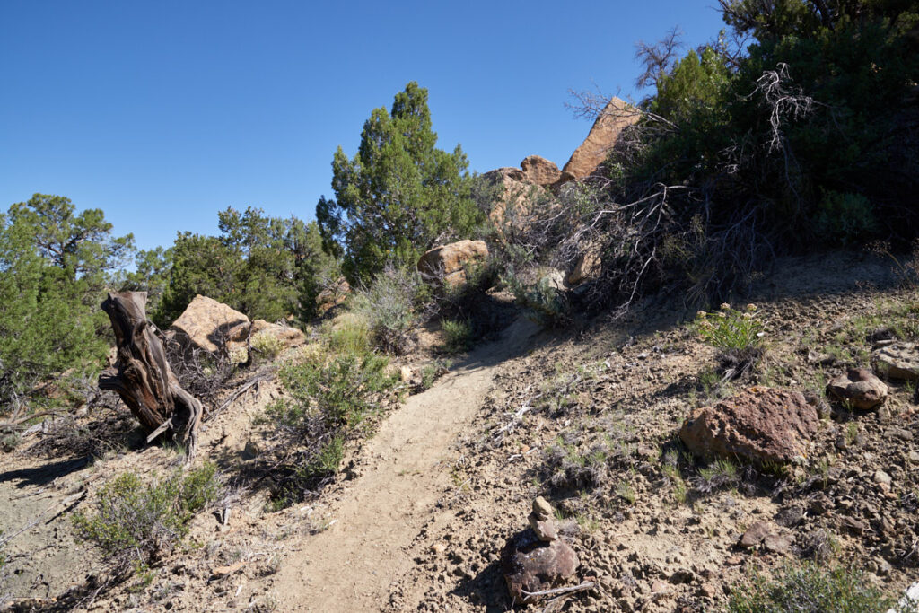
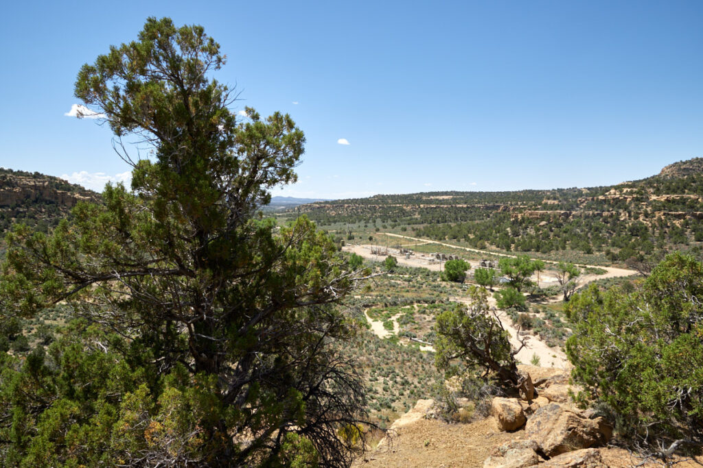
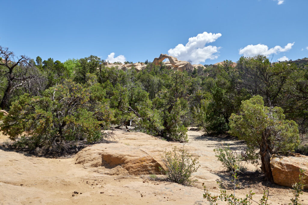
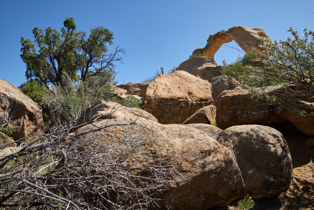
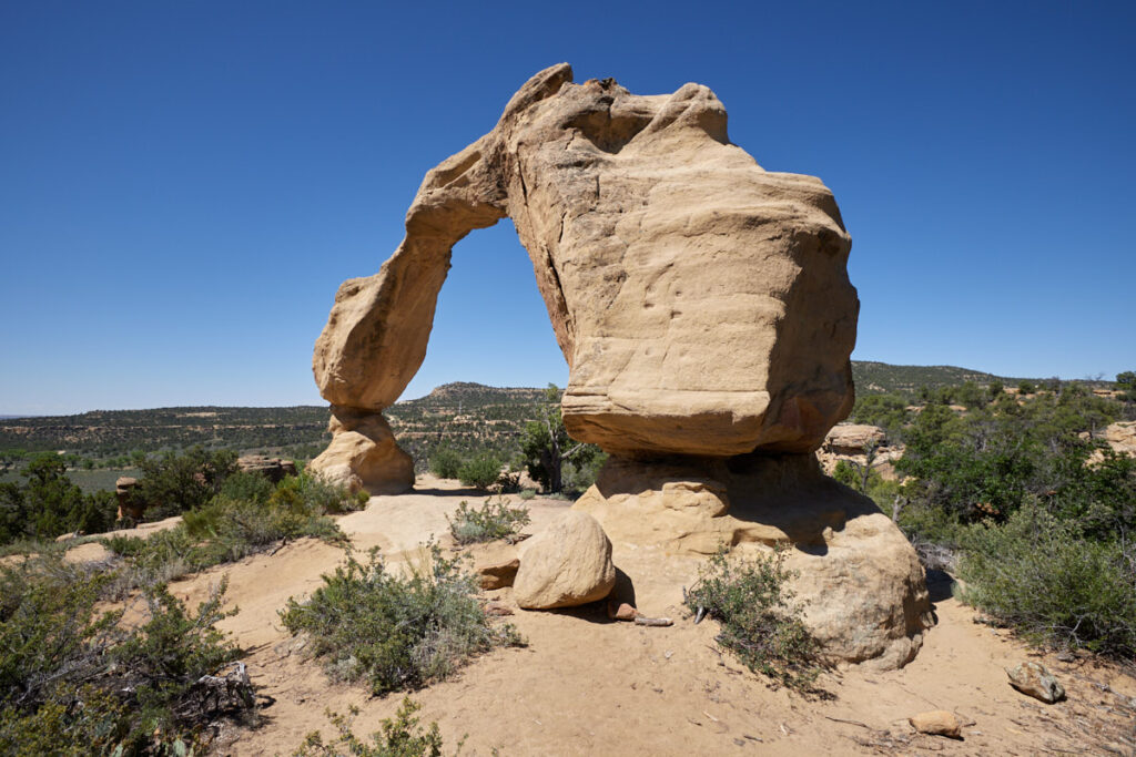
Description: Cox Arch for us is one of the most attractive rock arches around Aztec. The approach is via a dirt road about 4.5mi long. Since this road is located in the middle of a gas and oil production area, it should be in good condition most of the time.
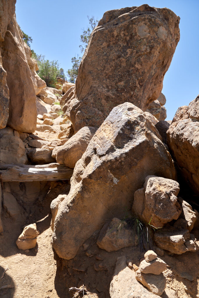
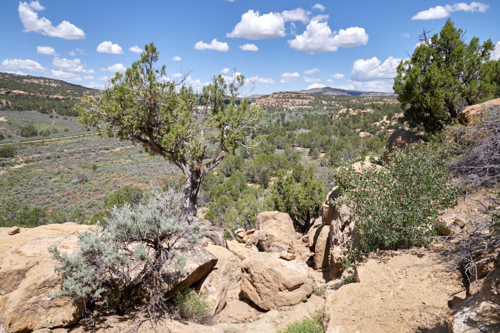
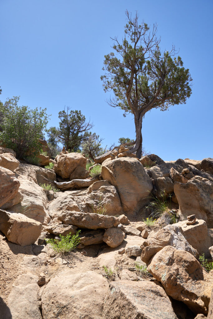
From the trailhead you have two ways to reach the Arch. The direct way leads up directly behind the parking lot and requires two harder climbs. If you don't dare to do that, you can also choose the longer way. Here you also have to climb the one or other rock step up, but the path is by far not as steep. During our visit in June 2023, we opted for the second variant. The gps coordinates of the hike therefore also refer to it.
Coordinates:
Junction from the paved road: Latitude 36.949921, Longitude -107.887429
Parking lot and trailhead: Latitude 36.996083, Longitude -107.910563
Cox Arch: Latitude 36.997851, Longitude -107.909173
Trail length: approx. 1.2mi roundtrip
Altitude difference: 360feet
Time needed: 1-2 hours
Difficulty level: moderate
Our rating: We liked both the short hike and the Cox Arch very much. Usually you will be alone here and can enjoy nature in peace, but during our visit the oil production plant at the trailhead was in operation and thus provided a very loud background noise during our hike.
Octopus Arch
Description: Another very pretty arch is the Octopus Arch. The approach to the arch leads through a residential area and then up a short dirt road onto a rock plateau. During our visit in June 2023 this road was in good condition. A vehicle with high ground clearance was an advantage. From the trailhead it is only a few 100feet until you can see the arch below. If you want you can also climb down.
Coordinates:
Junction from the paved road: Latitude 36.926938, Longitude -107.878402
Parking lot and trailhead: Latitude 36.937518, Longitude -107.860036
Octopus Arch: Latitude 36.937139, Longitude -107.860387
Trail length: approx. 1.2mi roundtrip
Altitude difference: 56ft
Time needed: 0.5 hours
Difficulty level: moderate
Our rating: Unfortunately, one tentacle of the original arch is damaged, so it doesn't really look like an octopus anymore. Nevertheless, we liked the arch quite well.

