General information about the National Park
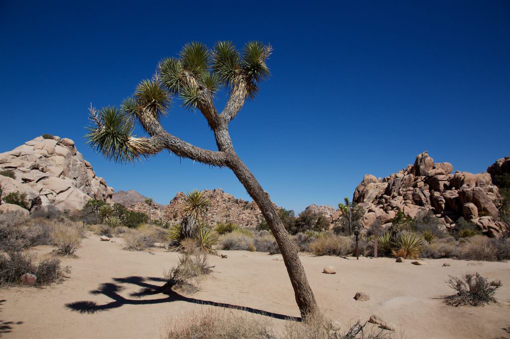
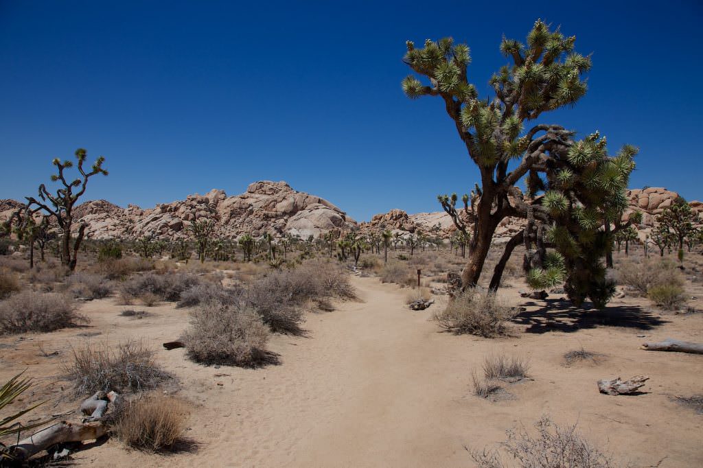
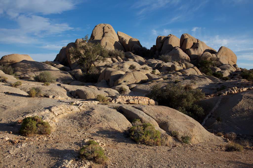
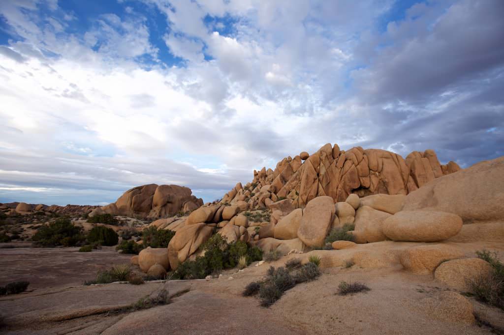
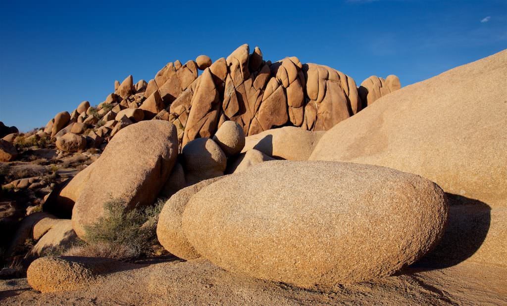
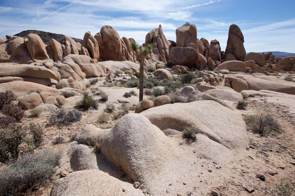
Joshua Tree National Park forms the transition between the Mojave and Colorado deserts. It protects especially the characteristic Joshua Trees - Yucca brevifolia.
Number of visitors
In 2020, Joshua Tree NP ranked 10th in the most visited national parks visitor statistics and 9th in 2023.
Best time to visit: The mildest temperatures are usually experienced in the spring.
Our visits:
So far 3 visits: April 1997, May 2013, March 2016
Entrance fees and opening hours
- 30$/car valid for 7 days
- Covered by the Anual Pass*
- Open 24h all year round.
*The Anual Pass is so to speak the "flat rate" for all Parks managed by the National Park Service. The pass costs a one-time fee of $80 and can be purchased at the entrance to each National Park, National Monument, etc. The pass is valid for 13 months.
Hidden Valley Trail
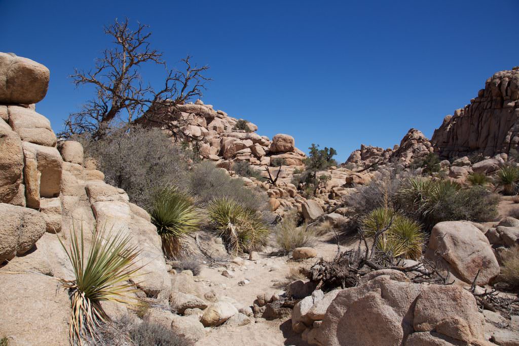
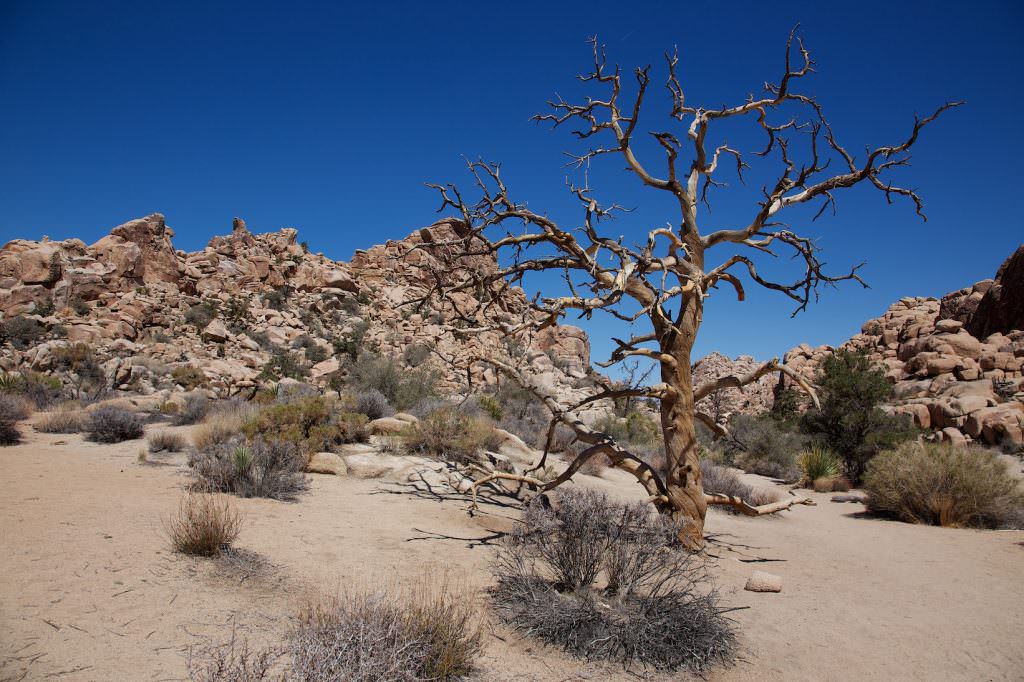
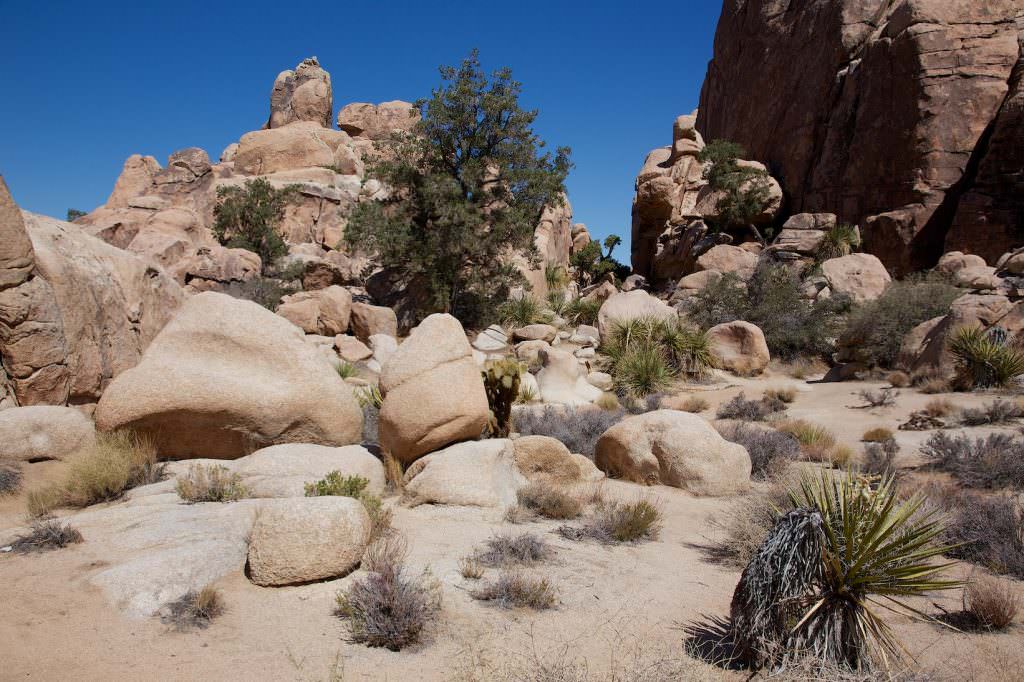
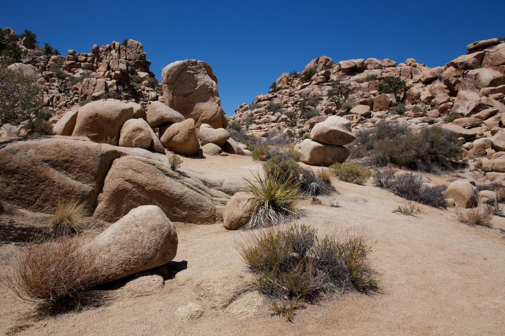
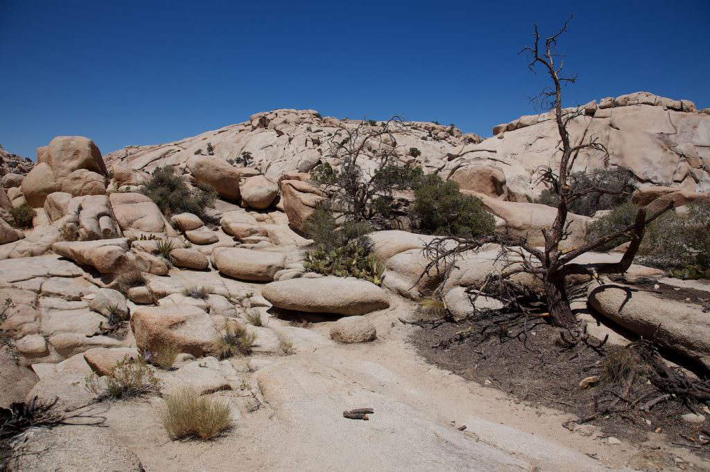
Description: The Hidden Valley Trail is short and very easy to hike. You get a nice impression of the typical rocks and the name-giving Joshua Trees.
Trail length: 1mi roundtrip
Altitude difference: –
Time needed: 1 hour
Schwierigkeit: easy
Our rating: A nice little trail. We liked it very much, because it gives you a very nice overview of what to expect in the park in a relatively short time. We can recommend this trail especially to first-time visitors.
Barker Dam Trail
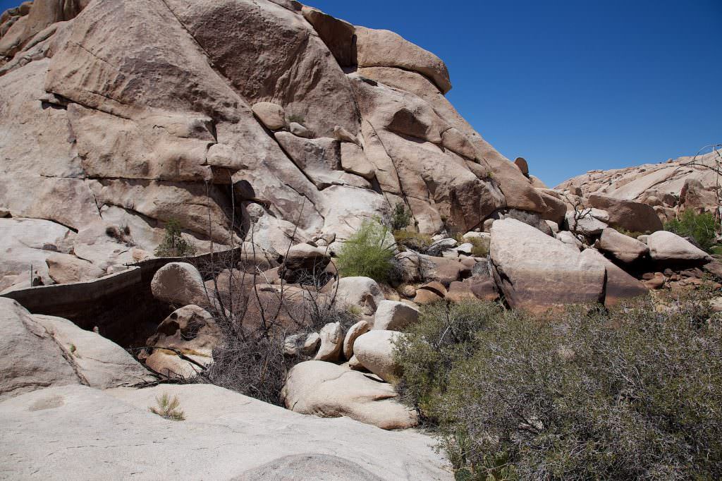
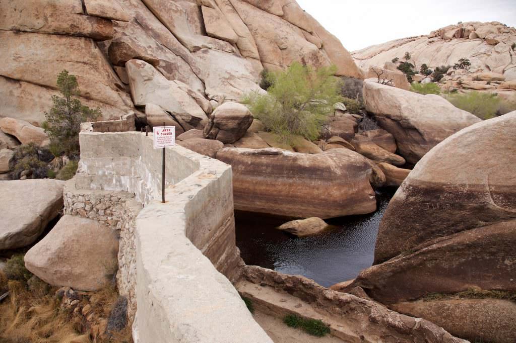
Description: The trail leads to a small dam that was built here, among other things, to dam up water for Keys Ranch. Since it rains very rarely in the desert, however, you can't always see water in the reservoir. Mostly everything is dry.
The trail is easy to hike and has hardly any elevation gain. Only at the dam itself it climbs or descends a little. If you are attentive, you might find some petroglyphs on the rocks along the way.
Trail length: 1.12mi roundtrip
Altitude difference: –
Time needed: 1-2 hours
Schwierigkeit: easy
Our rating: This trail is also fun to hike and there is always a bit of excitement as to whether or not there is water at the dam. Also a trail that we can recommend to first-time visitors.
Wall Street Mill Trail
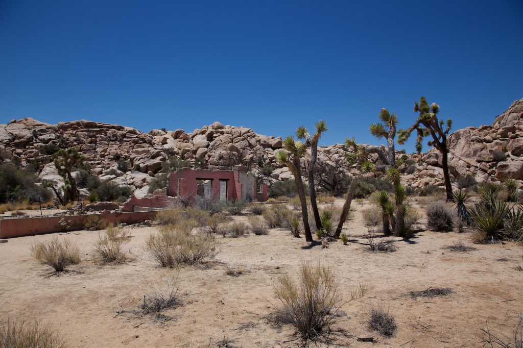
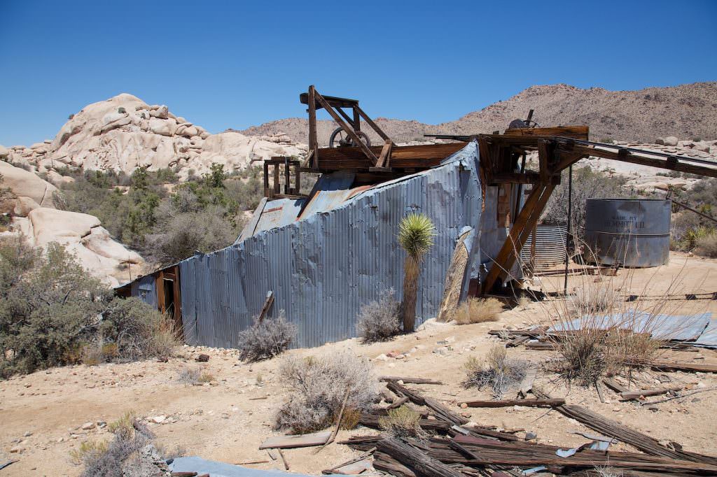
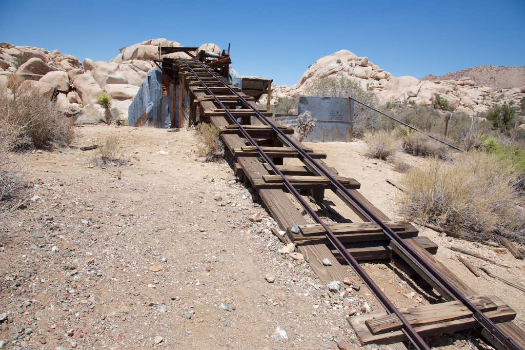
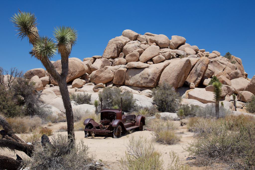
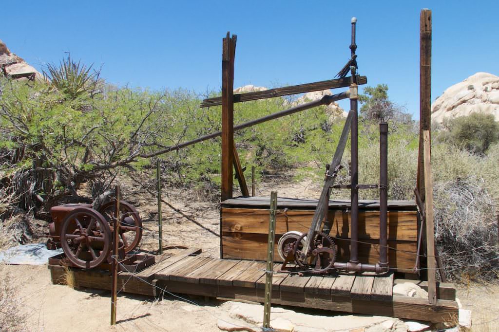
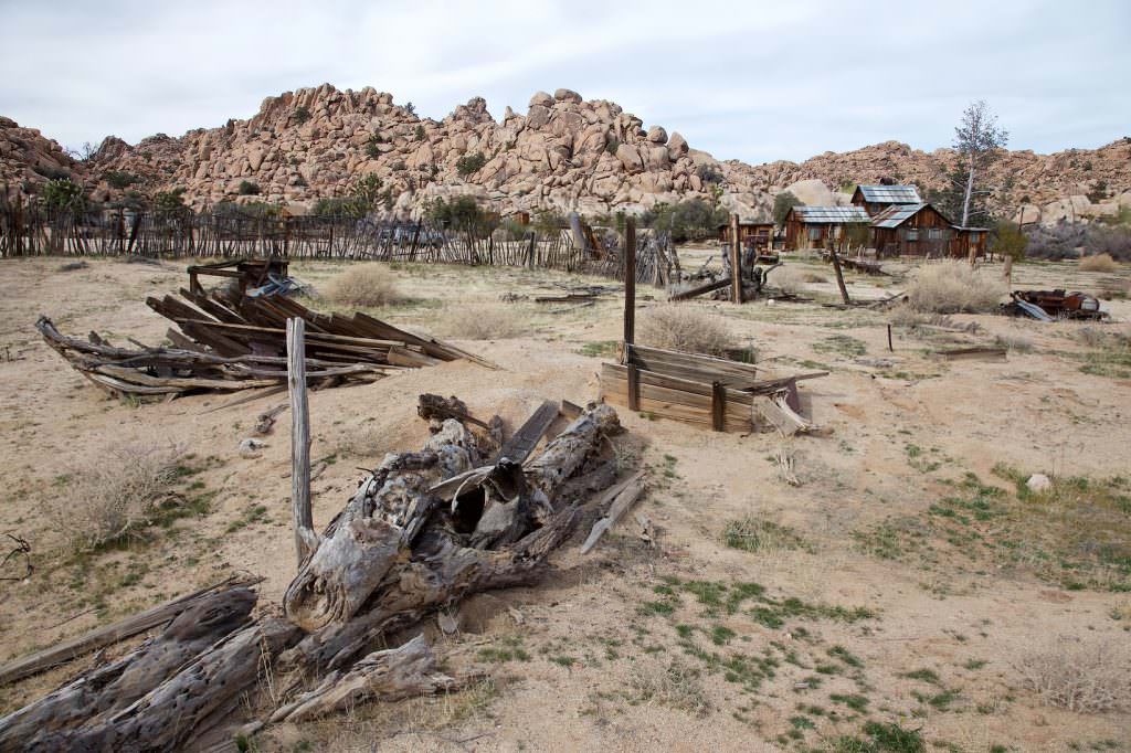
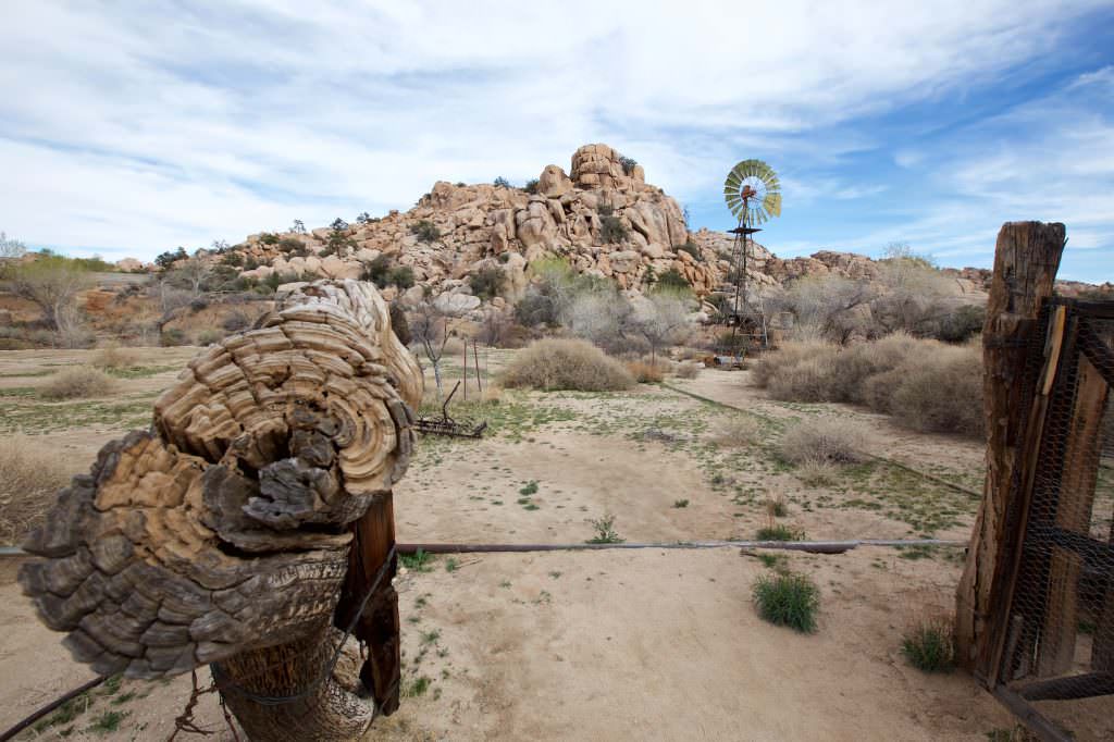
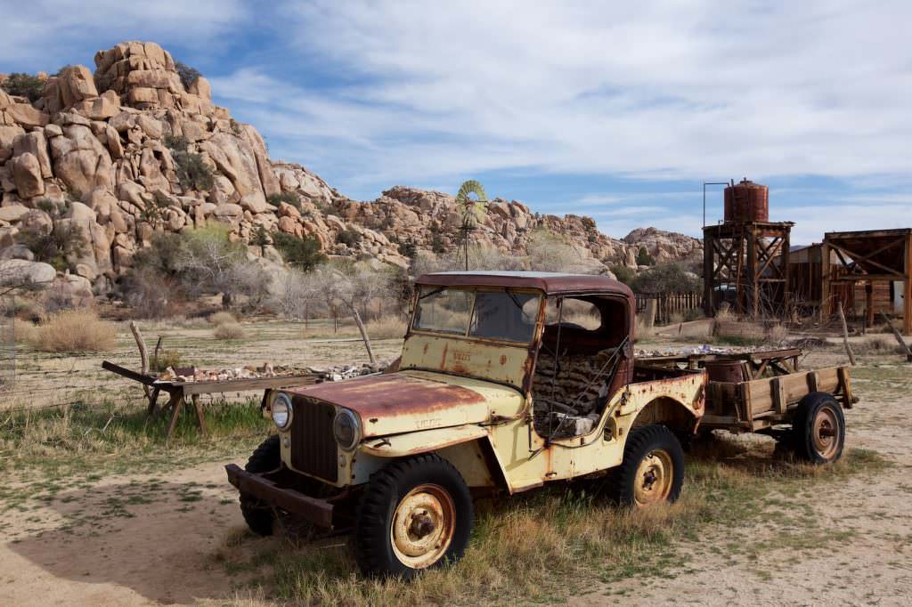
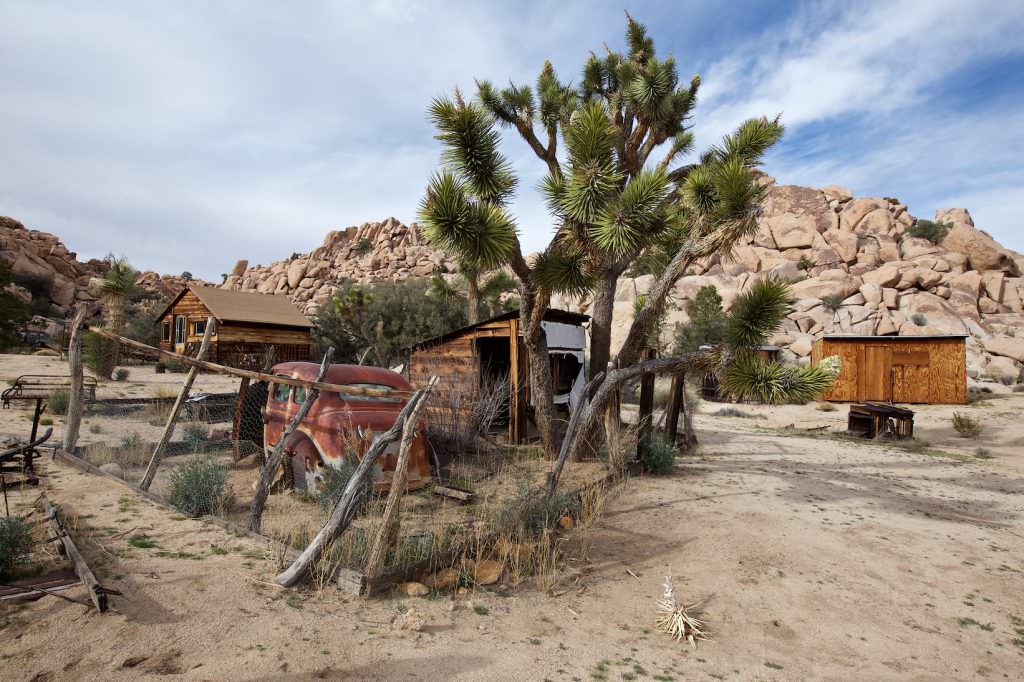
Description: The trail leads to a gold ore mill from the 19th century. The trail is easy to hike and level. You hike almost the whole time in a wash. On the way you can already admire a few remnants from the time. There are remains of walls, a windmill and old cars along the way. The mill itself is closed off, but you can see it from the outside.
Trail length: 2.2mi
Altitude difference: –
Time needed: 2 hours
Schwierigkeit: easy
Our rating: We like such junk locations. That's why we liked this one quite a bit. If you're not interested in old destroyed objects, this is not the place for you.
Skull Rock
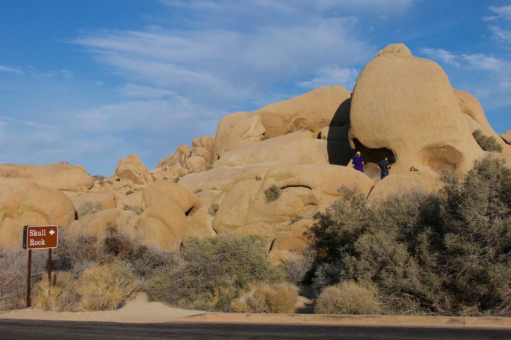
Description: Skull Rock is located directly on the park road and can be viewed virtually in passing. There is also a trail, but we have not yet walked. Since Skull Rock is very easily accessible, it is also mostly populated.
Our rating: Yes, quite nice. Since you pass here anyway in most cases, you can stop and look. Whether you then find the patience to wait to photograph the rock without people, is up to you.
Jumbo Rocks Campground
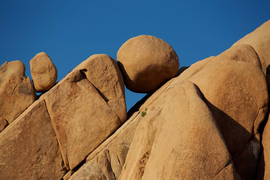
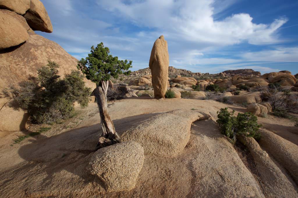
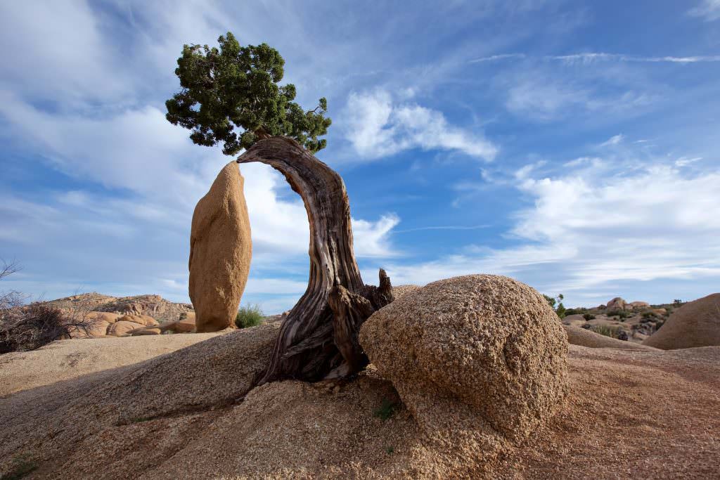
Description: Two photo locations can be found on the grounds of Jumbo Rocks Campground. The sphere can be found near Campside 95, the tree with the rock directly behind Campside 18. Near both locations there is a small parking lot that can accommodate 4-5 cars each.
Our rating: The sphere is one of our favorite motifs in the park, which is why we come here again and again. We definitely give this place a recommendation.
Split Rock Trail
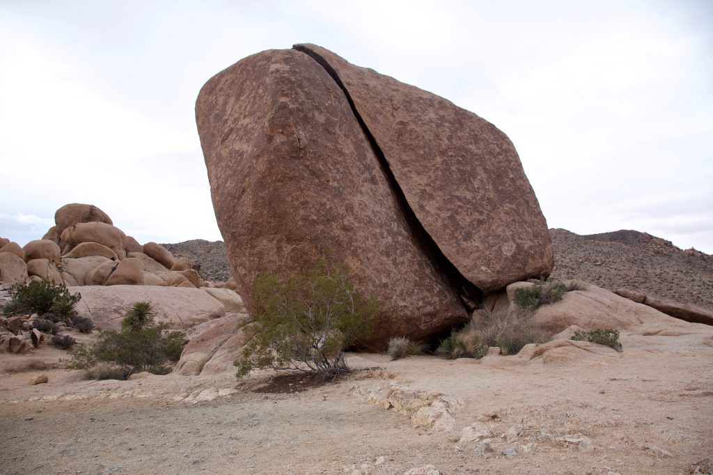
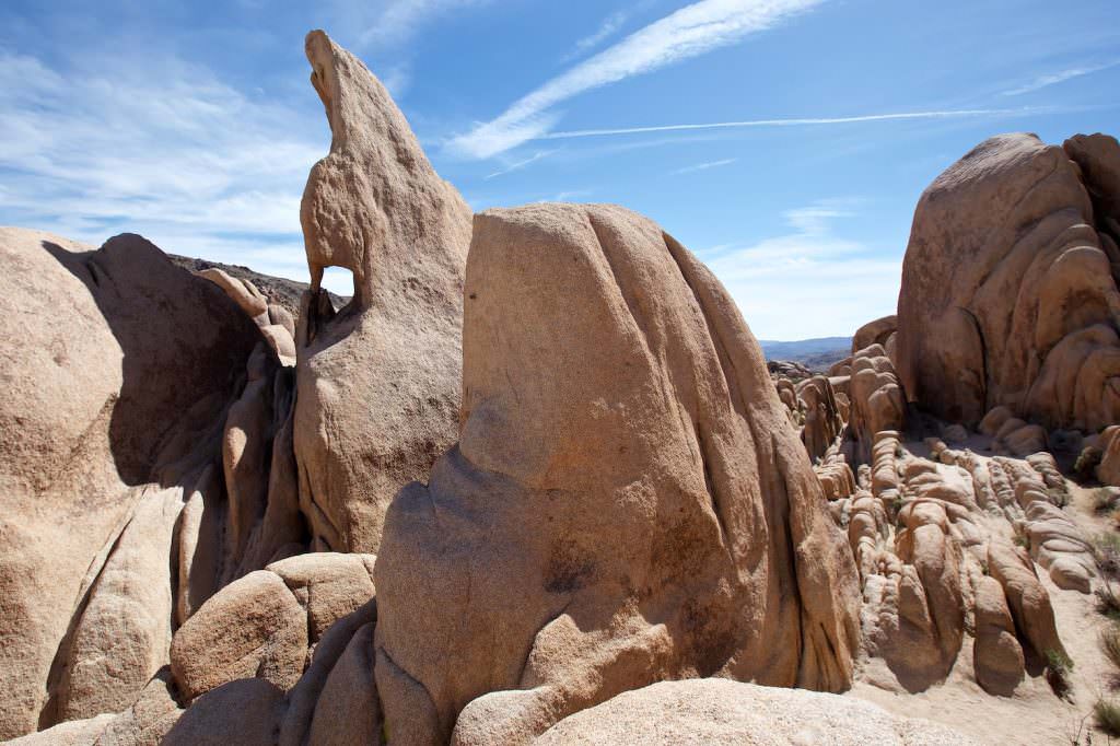
Description: Around Split Rock there is a several miles long trail through the great rock landscape of Joshua Tree NP. However, we were only at the prominent rock and have not hiked the entire trail.
Our rating: Spectacular rock, not a must see, but if you are already in the area, you can risk a look.
Keys Ranch
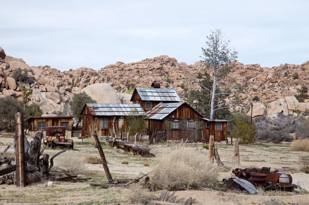
Description: Key's ranch is a prime example of the ingenuity of the early settlers who lived here in the desert. Bill Key built the ranch and surrounding buildings between 1910 and 1969, and he and his family operated the ranch and a mine. On the tour, you'll see the house and lots of family legacies.
You can visit the ranch only by means of a guided ranger tour. There is a gate! So you can neither visit the ranch yourself, nor see it from the road. The area is guarded and you should not try it on your own. To visit the ranch, you have to pre-book a ticket for a tour by phone. With the email confirmation you then meet at the gate at the reserved time and drive with the ranger to the ranch. Everything you need to know about the tour can be found here.
Our rating: We found the 90-minute tour to be very interesting. It was very impressive to learn how the early settlers braved the drought and heat here and managed to successfully run a ranch for years. Especially for junk fans, this is paradise. We highly recommend the tour.
Keys View
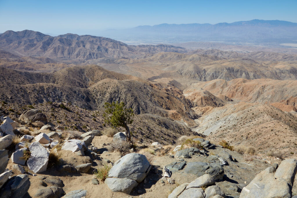
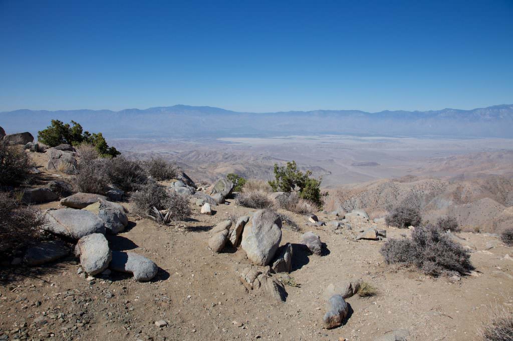
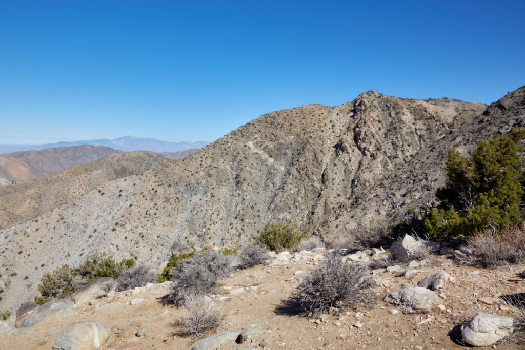
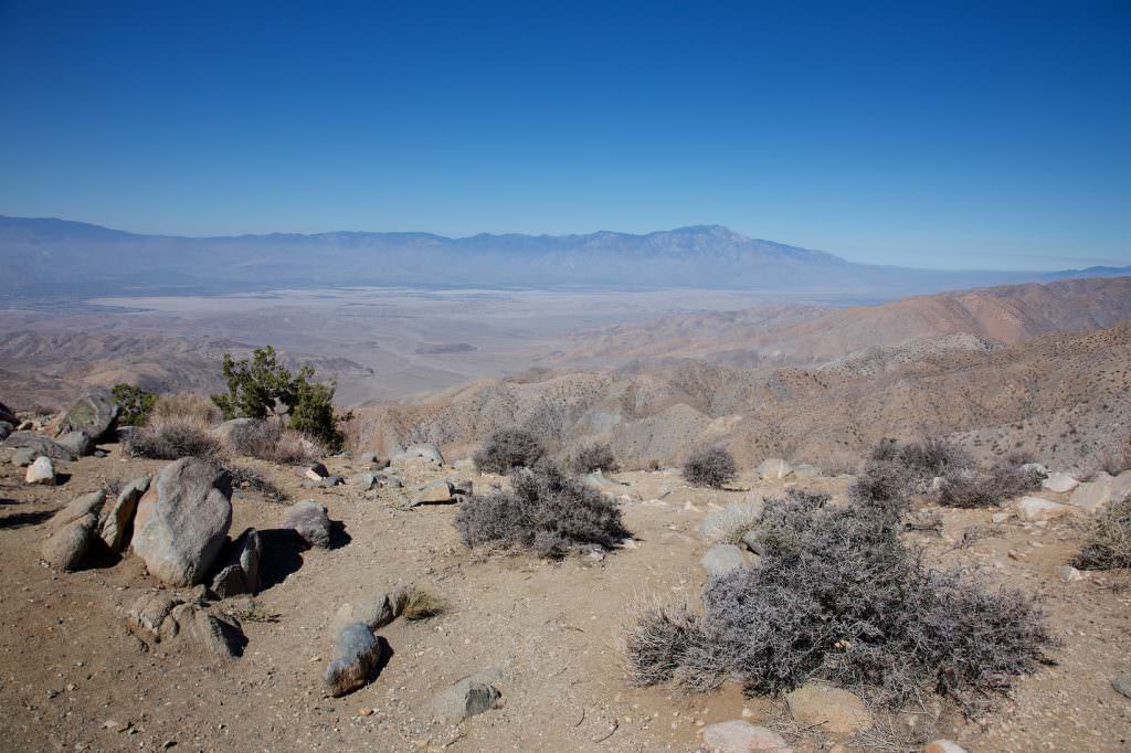
Description: Keys View is the highest viewpoint in the park and offers views not only of two of California's highest mountains (Mount San Jacinto - 10833ft, Mount Gorgonio - 11503ft), but also of the Coachella Valley. The San Andreas Fault runs in this valley, where the Pacific plate drifts past the North American plate. The fault is 808mi long and divides California into two parts.
Our rating: Unfortunately, up here you often have to fight with the smog from Los Angeles and therefore do not often have a really clear view. We found the viewpoint especially interesting because of the San Andreas Fault. On a clear day you can see as far as Palm Springs and the Salton Sea. We think that this side trip is well worth it.
Arch Rock
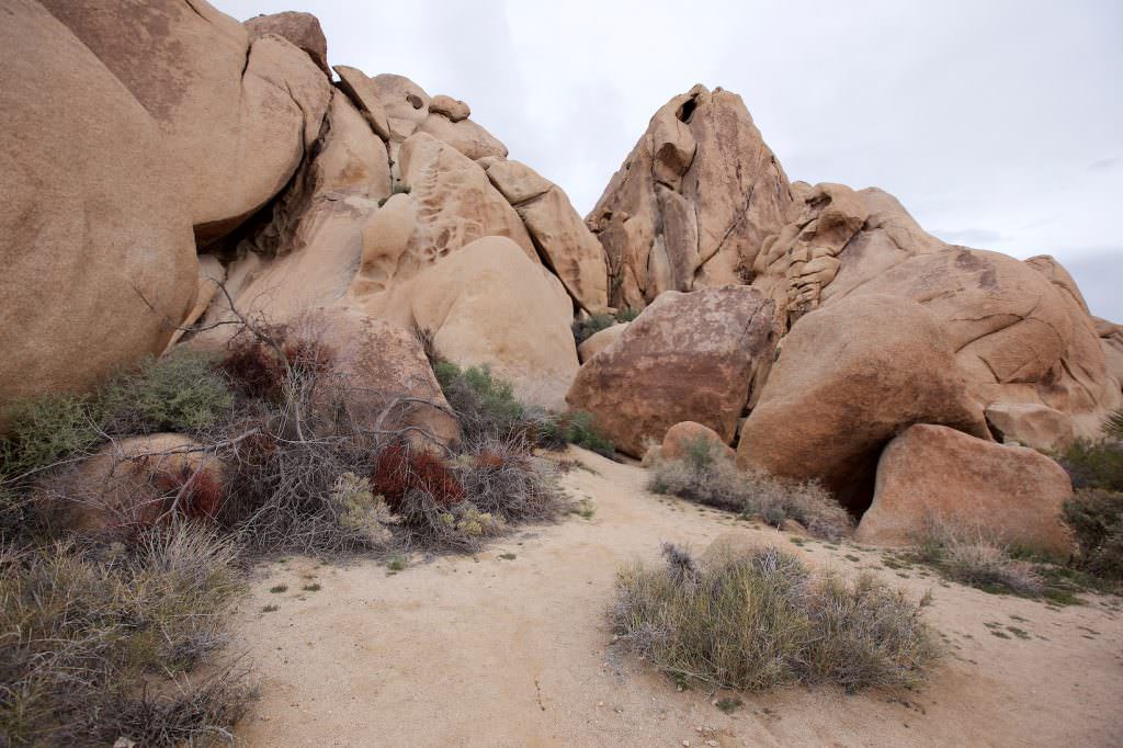
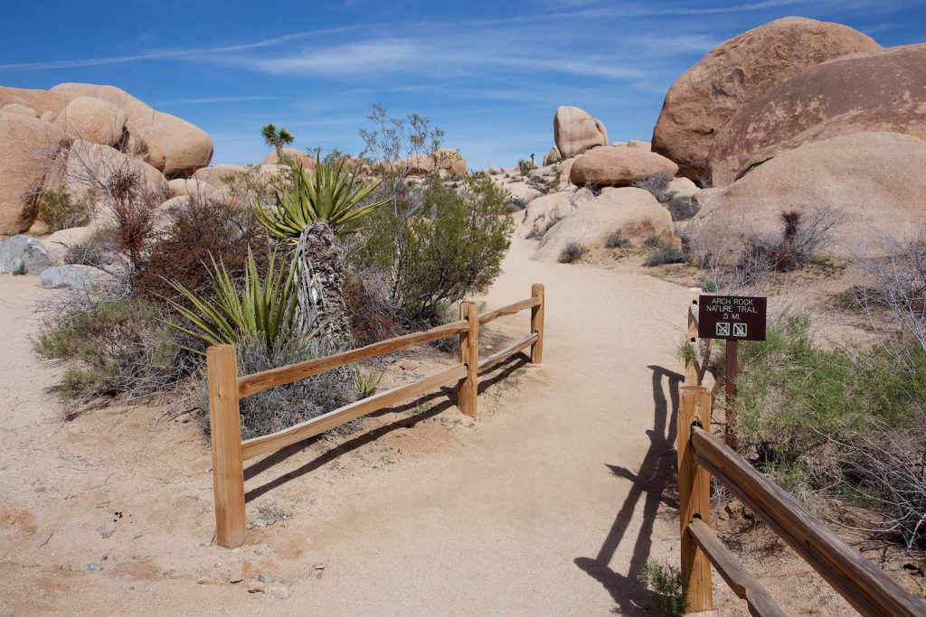
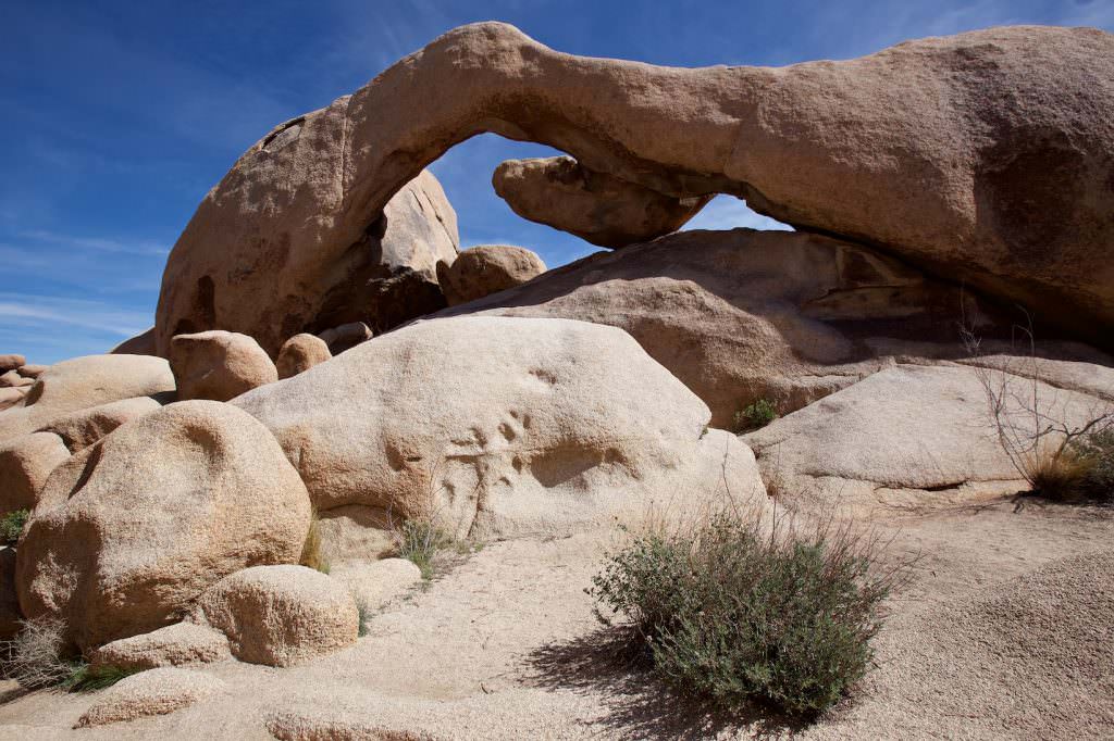
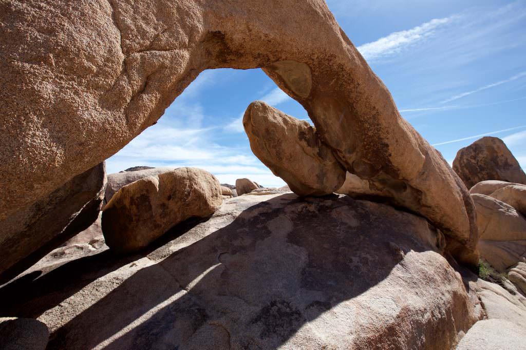
Description: The Arch Rock Nature Trail starts at Campsite 9 at the White Tank Campground. The trail offers some very nice rock formations and of course the eponymous Arch.
Trail length: 0.6mi roundtrip
Altitude difference: –
Time needed: 1/2 hours
Schwierigkeit: easy
Our rating: The trail here is very easy to hike and we really liked it. There are numerous, very beautiful photo ops along the way. In particular, we liked the Arch Rock very much. Here everyone should really stop by. It is worth it!
Cholla Gardens
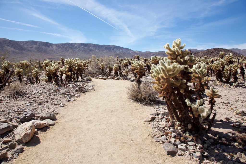
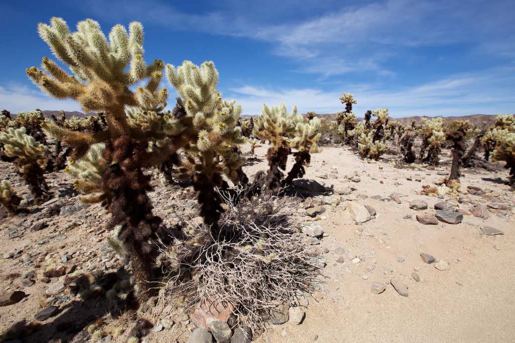
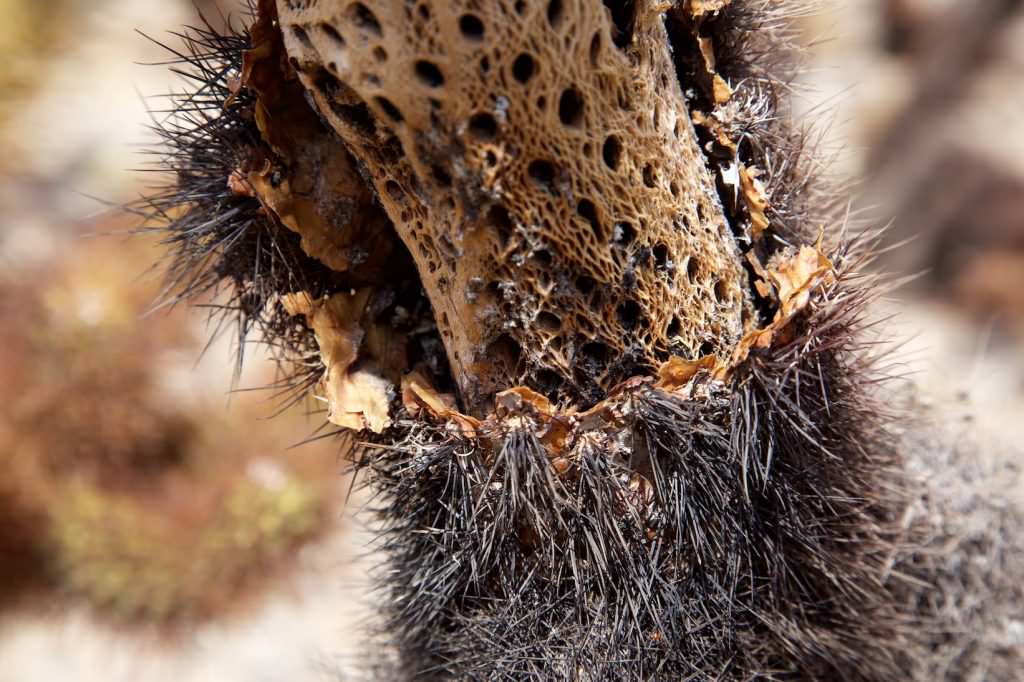
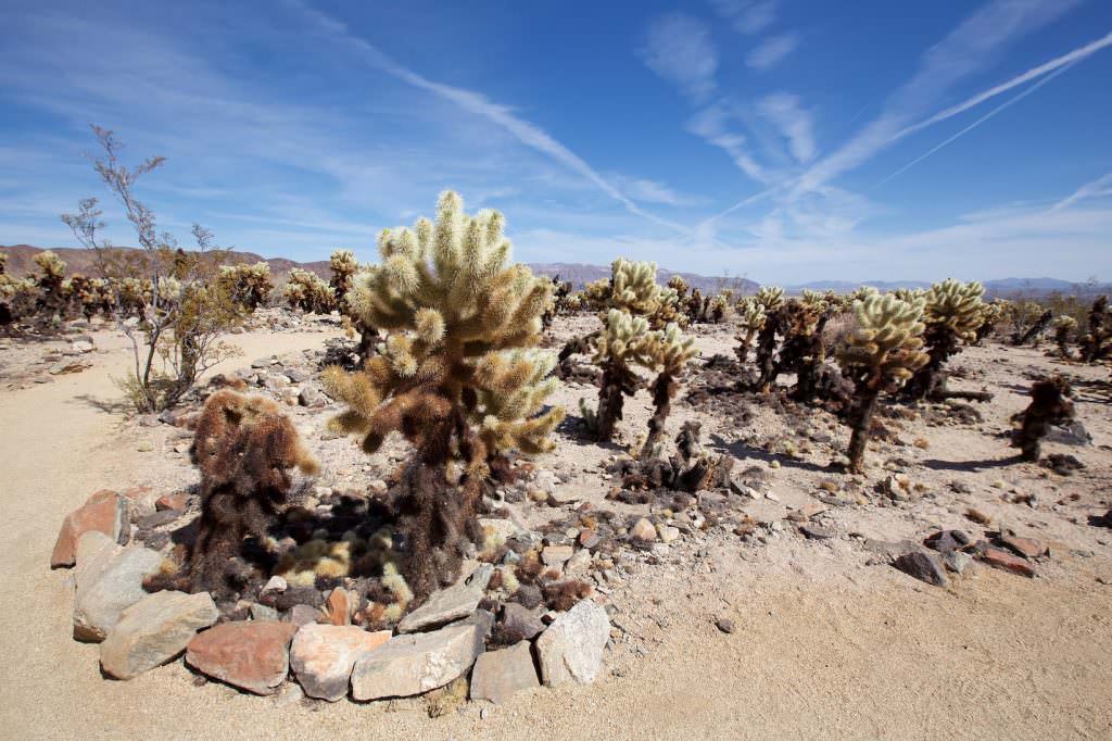
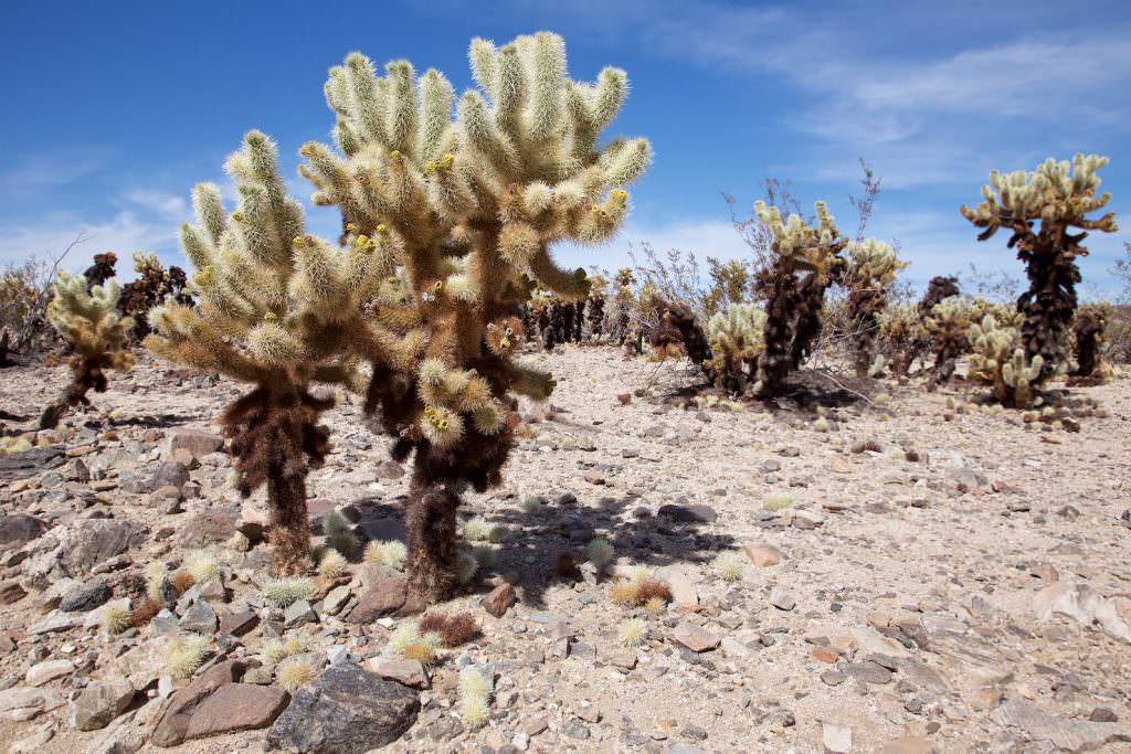
Description: In the Cholla Garden, countless of the Cholla cacti are together in a very small space. The branches of the cacti are completely covered with spines and thus look almost fluffy. But appearances are deceiving, because the spines are up to 1in long and covered with small barbs. So touching them can be extremely painful.
You can walk along a short ground-level loop trail between these cute fellows. But always remember not to approach too close.
Our rating: Quite interesting and well worth a stop.
Cottonwood Spring
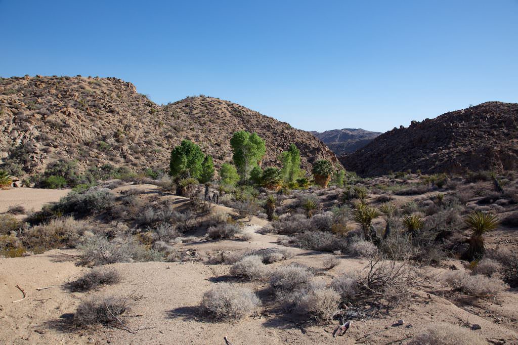
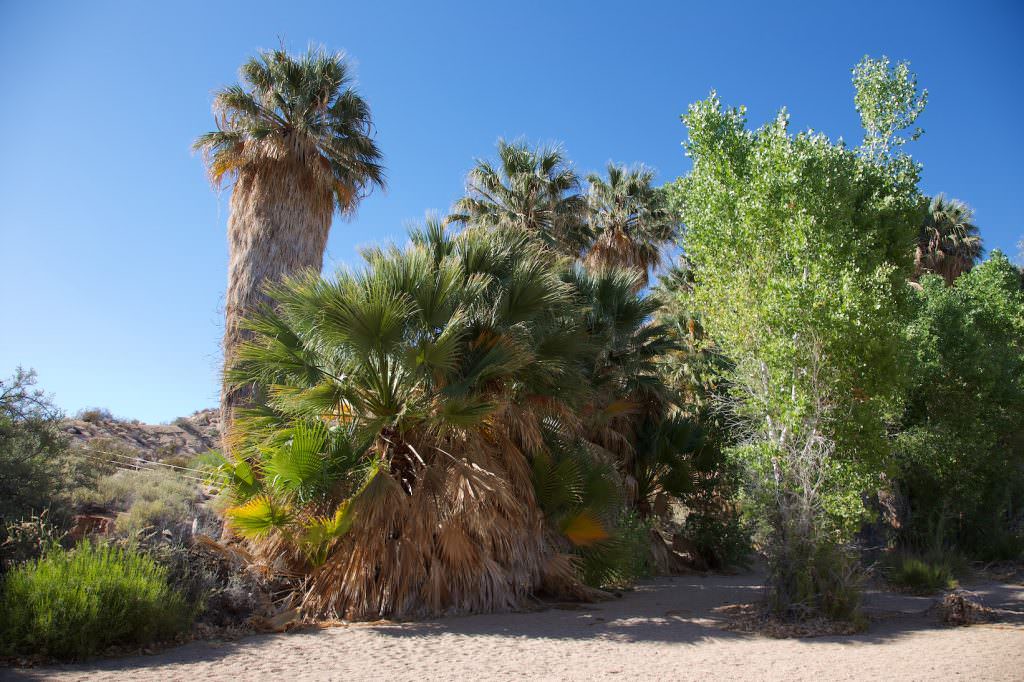
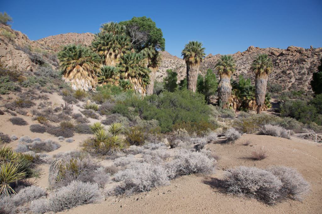
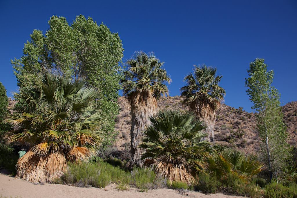
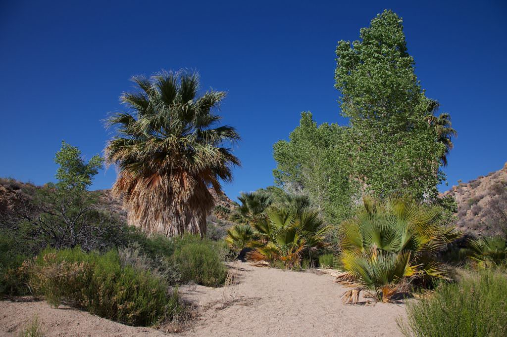
Description: Cottonwood Spring is an oasis in the very south of the park. It was created by an earthquake and was once used not only by the Indians living here, but it also served as a water source for transients, miners and ranchers.
Our rating: We found the green of the oasis a nice change from the desert. The palm trees seem almost out of place.
Even if you don't like to hike the few hundred meters down into the Cove, it's worth taking a look from the lookout just down the road.
... an unusual event
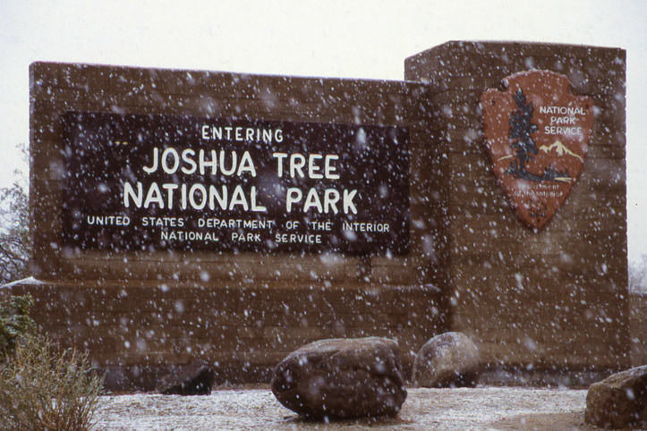
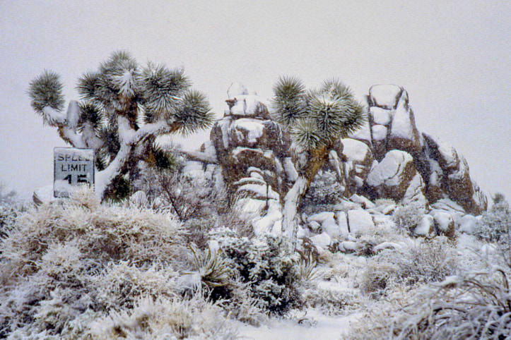
From time to time there are snow storms in Joshua Tree NP. These transform the landscape into a winter wonderland. We were able to observe such a not quite everyday event in April 1997, during our first visit to the park. Because of the snow and the bad weather, we could hardly see anything of the landscape and the great rocks. Nevertheless we liked it.

